Road Stream Crossing Site LIN_CRA005
Lincoln River Watershed, North Branch Lincoln River
E Fountain Rd
Sherman Twp,
Mason County
Information collected by:
Site Location
GPS Coordinates: 44.048439
, -86.2099
T19N
R16W
Sec 10
Owned by Private
Fish Passability 0.9
Total Erosion: 0.3591 tons/year
Severity: Minor
Year Inventoried: 2019
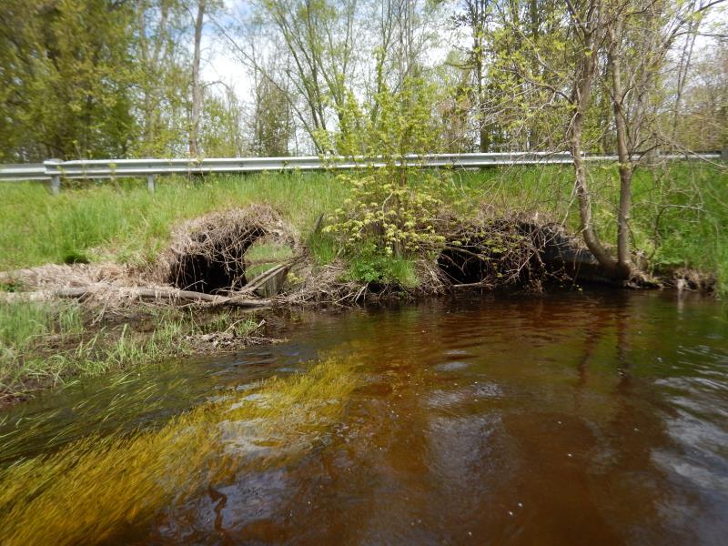
Inlet
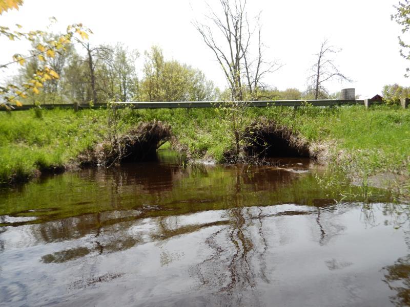
Outlet
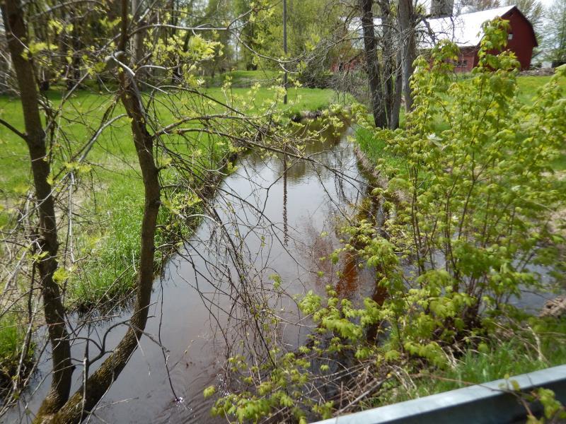
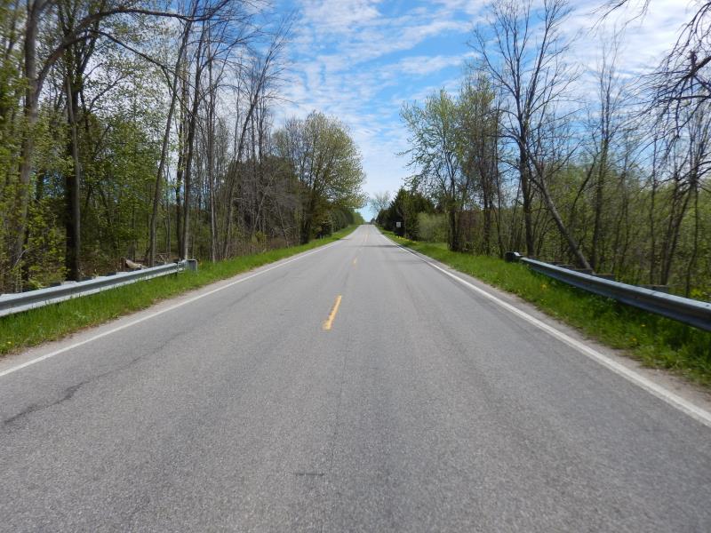
Upstream Conditions
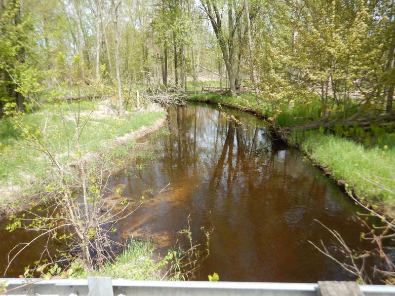
Downstream Conditions
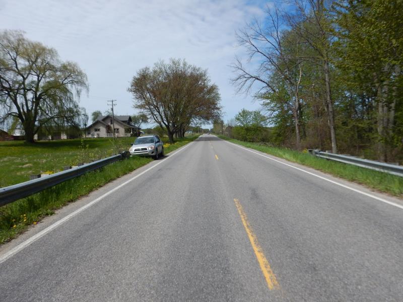
Road Approach - Left
Road Approach - Right
Crossing Information
Type of Crossing: culvert(s)
Number of Structures: 2
Structure Shape: Pipe Arch
Inlet Type: Mitered
Outlet Type: At Stream Grade
Structure Material: Metal
Structure Substrate: Sand
General Conditions: Good
Multiple Culverts/Spans | ||||
Culvert/Span | Width | Length | Height | Material |
2 |
11.2 ft. |
28.6 ft. |
7.7 ft. |
Metal |
Structure Interior: corrugated
Dimensions of Structure: Length 28.6 ft.
, Width 11.7 ft.
, Height 7.5 ft.
Percentage Plugged:
Inlet: 1% to 25%
Structure Inlet
Water Depth: 3.2 ft.
Embedded Depth of Structure: 0.2 ft.
Water Velocity*: 0.1 ft./sec.
Structure Outlet
Water Depth: 3.2 ft.
Embedded Depth of Structure: 2.4 ft.
Water Velocity*: 0.1 ft./sec.
*Water Velocities were measured 0.5 ft. below Surface
(with Meter)
Additional Comments
velocity obstructed culvert 1; culvert 2 compensating with 1 + ft/sec
Stream Information
Stream Flow: Less than Bankfull
Upstream Pond: Length 10 ft.
, Width 30 ft.
, Depth 3.5 ft.
Riffle Information
Water Depth: 1.7 ft.
Bankfull Width: 27 ft.
Wetted Width: 25 ft.
Water Velocity: 0.5 ft./sec.
(Measured with Meter)
Dominant Substrate: Organics
Road Information
Paved
County Road
Road Condition: Good
Road Width at Culvert: 28 ft.
Location of Low Point: Other
Runoff Path: Ditch
Embankments
Upstream
Fill Depth: 3 ft.
Slope: Vertical
Downstream
Fill Depth: 3 ft.
Slope: Vertical
Approaches
Left Approach
Length: 300 ft.
Slope: 1% to 5%
Vegetation: Heavy
LS Factor: 0.46
Erosion: 0.1277 tons/year
Right Approach
Length: 500 ft.
Slope: 1% to 5%
Vegetation: Heavy
LS Factor: 0.5
Erosion: 0.2314 tons/year
Erosion Information
Total Erosion at Crossing: 0.3591 tons/year
Extent of Erosion: Stabilized
Notes: Deposition buildup in Culvert #1 due to downed tree at inlet.
Summary Information
Fish Passability 0.9
Fish Passage is an area of concern for this site.
one culvert is partially plugged; see photos
These non-native species were observerd at this site: Thistle, Reed Canary Grass
�