Road Stream Crossing Site LIN_CRA006
Lincoln River Watershed, North Branch Lincoln River Tributary
E Townline Rd
Sherman Twp,
Mason County
Information collected by:
Site Location
GPS Coordinates: 44.078501
, -86.23579
T19N
R16W
Sec 4
Owned by Private
Fish Passability 0
Perch Height: 0.3 ft.
Total Erosion: 1.7424 tons/year
Severity: Severe
Year Inventoried: 2019
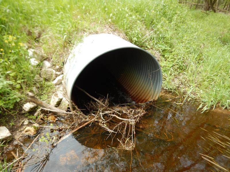
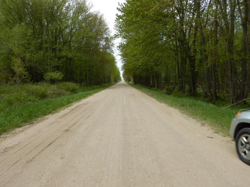
Inlet
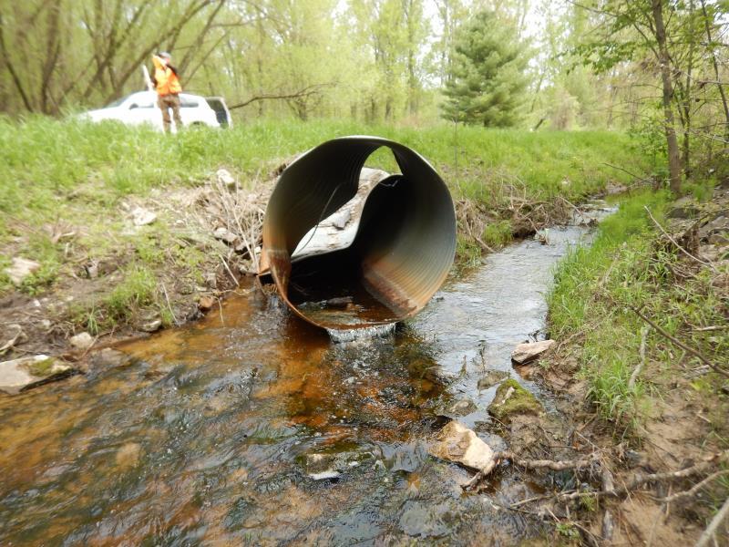
Outlet
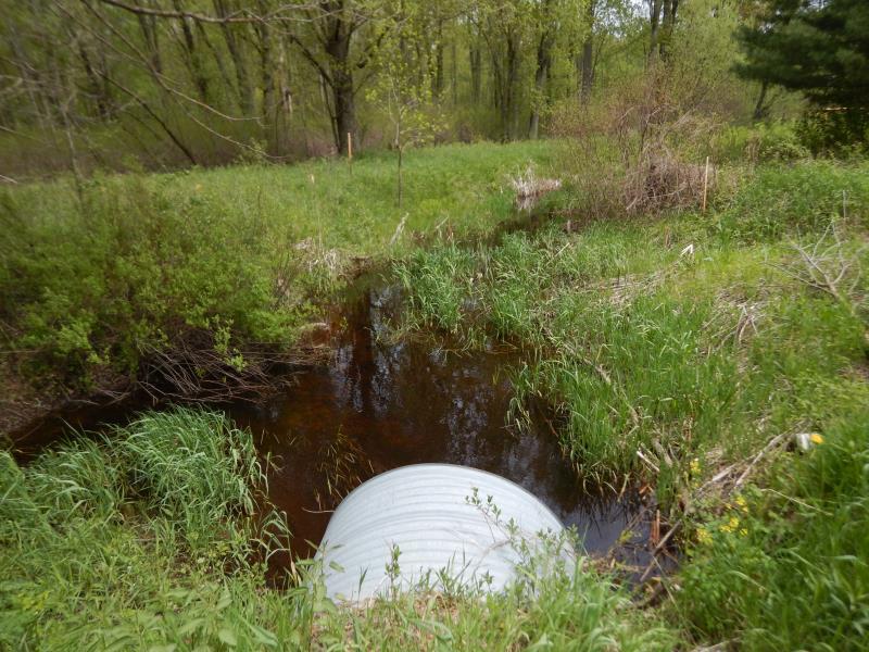
Upstream Conditions
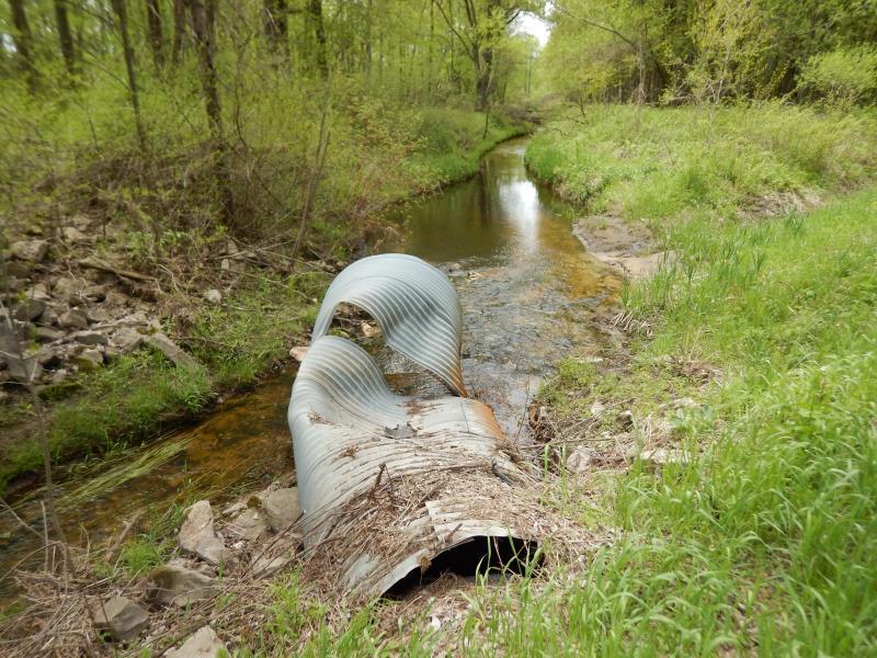
Downstream Conditions
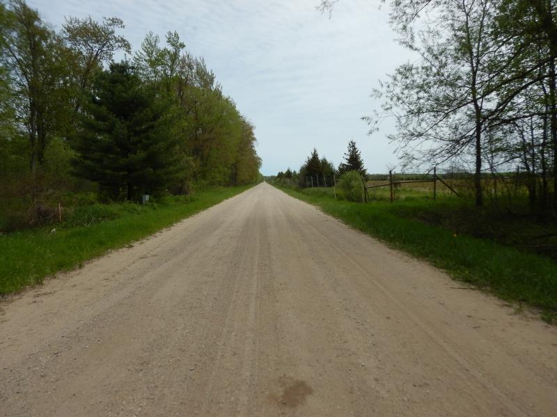
Road Approach - Left
Road Approach - Right
Crossing Information
Type of Crossing: culvert(s)
Number of Structures: 1
Structure Shape: Round
Inlet Type: Projecting
Outlet Type: Freefall into Pool
Structure Material: Metal
Structure Substrate: None
General Conditions: Poor
Structure Interior: corrugated
Dimensions of Structure: Length 85 ft.
, Width 4.5 ft.
, Height 4.6 ft.
Percentage Plugged:
Inlet: 1% to 25%
Percentage Crushed:
Inlet: 0%
Outlet: 76% to 100%
In Pipe: 0%
Perch Height: 0.3 ft.
Structure Inlet
Water Depth: 2.5 ft.
Embedded Depth of Structure: 1.7 ft.
Water Velocity*: 1.2 ft./sec.
Structure Outlet
Water Depth: 0.7 ft.
Embedded Depth of Structure: 0 ft.
Water Velocity*: 2.9 ft./sec.
*Water Velocities were measured 0.2 ft. below Surface
(with Meter)
Additional Comments
car parts on broken/crushed culvert- car accident damage to culvert
Stream Information
Stream Flow: Less than 1/2 Bankfull
Scour Pool: Length 33 ft.
, Width 19.4 ft.
, Depth 1.9 ft.
Upstream Pond: Length 18 ft.
, Width 17 ft.
Riffle Information
Water Depth: 0.8 ft.
Bankfull Width: 12.1 ft.
Wetted Width: 8.4 ft.
Water Velocity: 1 ft./sec.
(Measured with Meter)
Dominant Substrate: Sand
Road Information
Gravel
County Road
Road Condition: Good
Road Width at Culvert: 23 ft.
Location of Low Point: At Stream
Runoff Path: Roadway
Embankments
Upstream
Fill Depth: 1 ft.
Slope: 1:2
Downstream
Fill Depth: 1 ft.
Slope: 1:2
Approaches
Left Approach
Length: 500 ft.
Slope: Less Than 1%
Vegetation: Heavy
LS Factor: 0.05
Erosion: 0.1584 tons/year
Right Approach
Length: 500 ft.
Slope: 1% to 5%
Vegetation: Heavy
LS Factor: 0.5
Erosion: 1.584 tons/year
Erosion Information
Total Erosion at Crossing: 1.7424 tons/year
Extent of Erosion: Stabilized
Location of Erosion | Erosion Dimensions | Eroded Material | Material Eroded | Total Erosion | ||
facing downstream | Length | Width | Depth | Reaching Stream? | (tons/year) | |
Right Upstream Embankment |
8 ft. |
2 ft. |
1 ft. |
yes |
Sandy Loam |
0 |
Left Upstream Embankment |
8 ft. |
2 ft. |
1 ft. |
yes |
Sandy Loam |
0 |
Summary Information
Fish Passability 0
Fish Passage is an area of concern for this site.
Outlet crushed and perched
A future visit to this site is recommended. See above and inlet plugging with debris
�