Road Stream Crossing Site LIN_CRA007
Lincoln River Watershed, North Branch Lincoln River Tributray
E Townline Rd
Freesoil Twp,
Mason County
Information collected by:
Site Location
GPS Coordinates: 44.079387
, -86.185057
T20N
R16W
Sec 35
Owned by Federal
Fish Passability 0.5
Total Erosion: 1.033 tons/year
Severity: Moderate
Year Inventoried: 2019
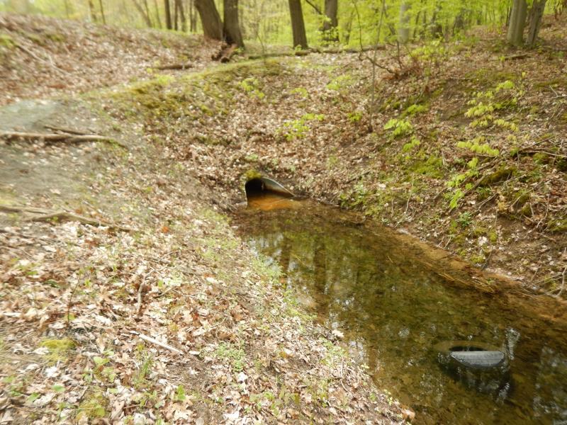
Inlet
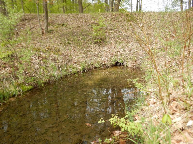
Outlet
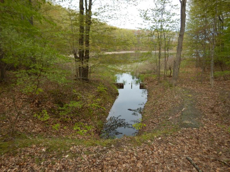
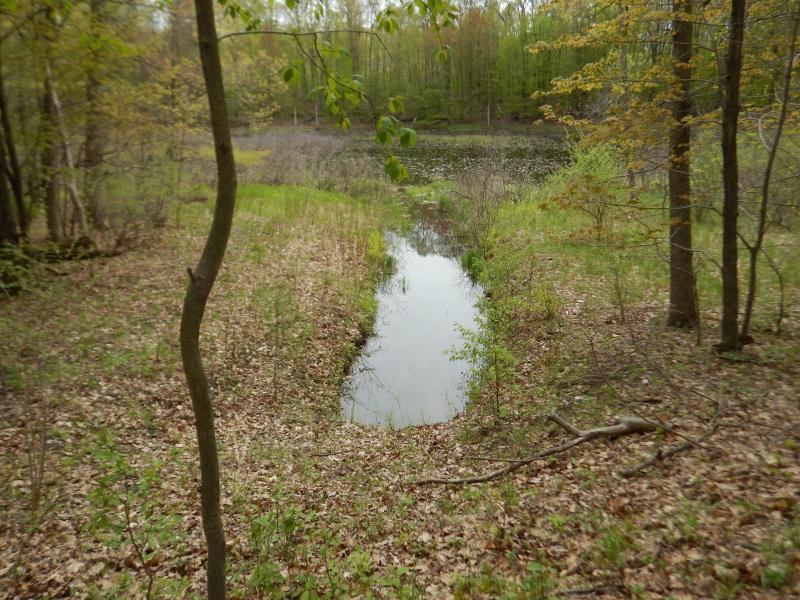
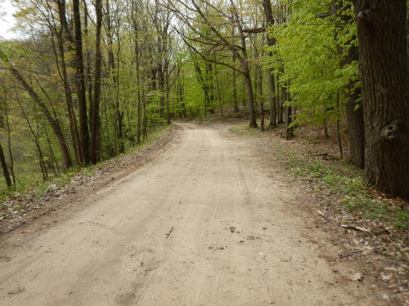
Upstream Conditions
Downstream Conditions
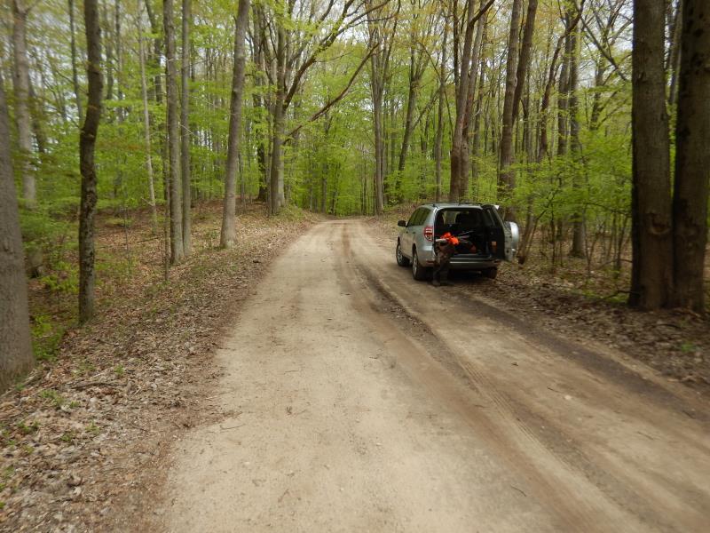
Road Approach - Left
Road Approach - Right
Crossing Information
Type of Crossing: culvert(s)
Number of Structures: 1
Structure Shape: Round
Inlet Type: Apron
Outlet Type: At Stream Grade
Structure Material: Metal
Structure Substrate: None
General Conditions: Fair
Structure Interior: corrugated
Dimensions of Structure: Length 79.1 ft.
, Width 2 ft.
, Height 2 ft.
Structure Inlet
Water Depth: 1 ft.
Embedded Depth of Structure: 0 ft.
Water Velocity*: 0.5 ft./sec.
Structure Outlet
Water Depth: 1.3 ft.
Embedded Depth of Structure: 0 ft.
Water Velocity*: 0.6 ft./sec.
*Water Velocities were measured 0.5 ft. below Surface
(with Meter)
Stream Information
Stream Flow: Less than Bankfull
Riffle Information
Water Depth: 1.4 ft.
Bankfull Width: 12.2 ft.
Wetted Width: 10.2 ft.
Water Velocity: 0.1 ft./sec.
(Measured with Float Test)
Dominant Substrate: Organics
Road Information
Sand
County Road
Road Condition: Fair
Road Width at Culvert: 15.5 ft.
Location of Low Point: At Stream
Runoff Path: Roadway
Embankments
Upstream
Fill Depth: 13.5 ft.
Slope: 1:1.5
Downstream
Fill Depth: 13 ft.
Slope: More than 1:2
Approaches
Left Approach
Length: 169 ft.
Slope: 1% to 5%
Vegetation: Partial
LS Factor: 0.455
Erosion: 0.3285 tons/year
Right Approach
Length: 300 ft.
Slope: 1% to 5%
Vegetation: Partial
LS Factor: 0.55
Erosion: 0.7045 tons/year
Erosion Information
Total Erosion at Crossing: 1.033 tons/year
Extent of Erosion: Stabilized
Summary Information
Fish Passability 0.5
�