Road Stream Crossing Site LIN_CRA009
Lincoln River Watershed, North Branch Lincoln River Tributary
E Fountain Rd
Sherman Twp,
Mason County
Information collected by:
Site Location
GPS Coordinates: 44.048001
, -86.164647
T19N
R16W
Sec 12
Owned by Private
Fish Passability 0
Structure is NOT Perched
Total Erosion: 0.0875 tons/year
Severity: Severe
Year Inventoried: 2019
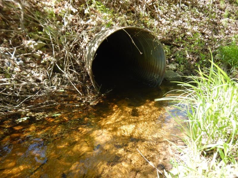
Inlet
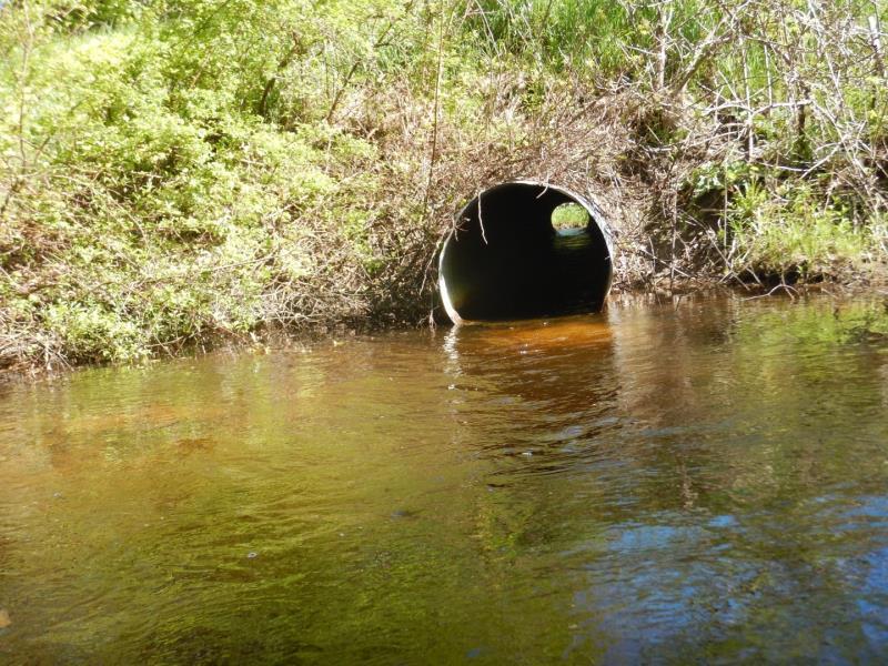
Outlet
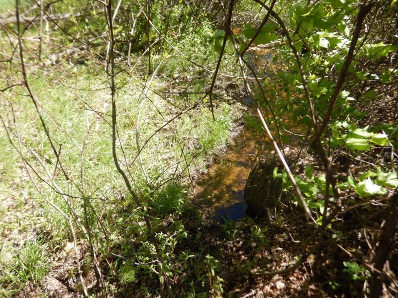
Upstream Conditions
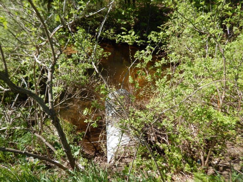
Downstream Conditions
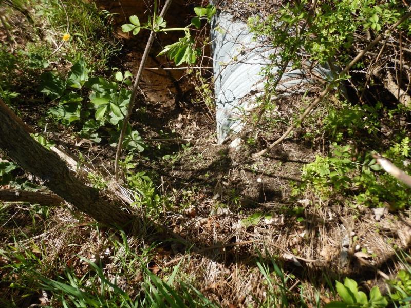
Downstream Conditions
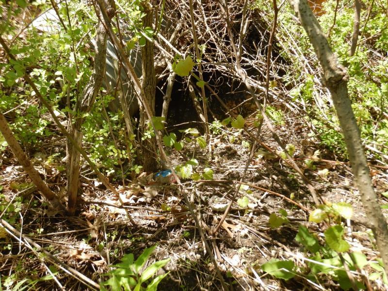
Downstream Conditions
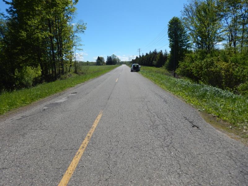
Road Approach - Left
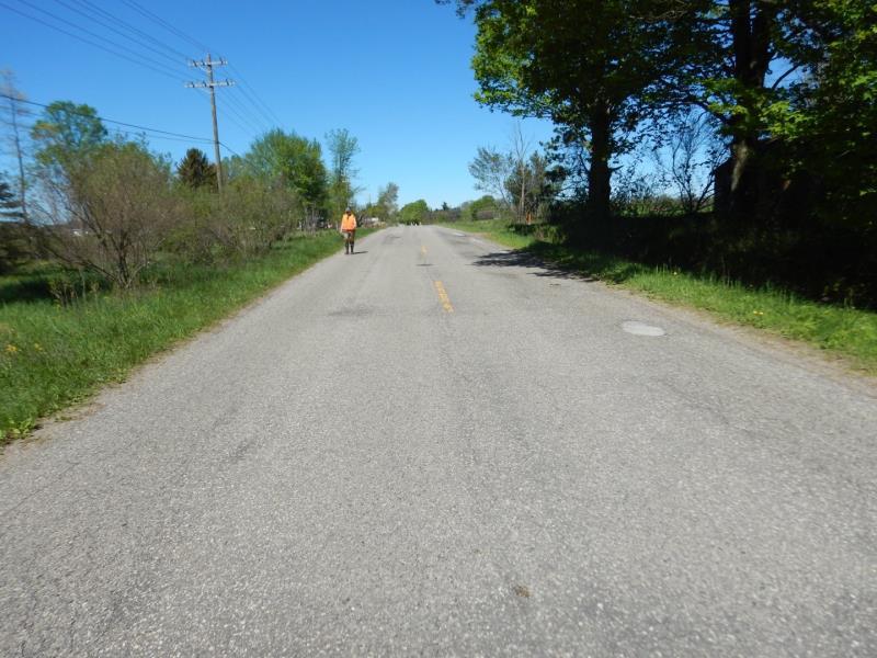
Road Approach - Right
Crossing Information
Type of Crossing: culvert(s)
Number of Structures: 1
Structure Shape: Round
Inlet Type: Projecting
Outlet Type: At Stream Grade
Structure Material: Metal
Structure Substrate: None
General Conditions: Good
Structure Interior: corrugated
Dimensions of Structure: Length 65 ft.
, Width 3 ft.
, Height 3 ft.
Structure is NOT Perched
Structure Inlet
Water Depth: 0.7 ft.
Embedded Depth of Structure: 0 ft.
Water Velocity*: 2.7 ft./sec.
Structure Outlet
Water Depth: 0.7 ft.
Embedded Depth of Structure: 0 ft.
Water Velocity*: 3.2 ft./sec.
*Water Velocities were measured 0.7 ft. below Surface
(with Meter)
Stream Information
Stream Flow: Less than Bankfull
Scour Pool: Length 25 ft.
, Width 25 ft.
, Depth 2.8 ft.
Upstream Pond: Length 0 ft.
, Width 0 ft.
, Depth 0 ft.
Riffle Information
Water Depth: 0.6 ft.
Bankfull Width: 10 ft.
Wetted Width: 6.5 ft.
Water Velocity: 1.3 ft./sec.
(Measured with Meter)
Dominant Substrate: Gravel
Road Information
Paved
County Road
Road Condition: Fair
Road Width at Culvert: 23 ft.
Location of Low Point: Other
Runoff Path: Ditch
Embankments
Upstream
Fill Depth: 5 ft.
Slope: Vertical
Downstream
Fill Depth: 7 ft.
Slope: Vertical
Approaches
Left Approach
Length: 100 ft.
Slope: Less Than 1%
Vegetation: Heavy
LS Factor: 0.05
Erosion: 0.0038 tons/year
Right Approach
Length: 208 ft.
Slope: 1% to 5%
Vegetation: Heavy
LS Factor: 0.432
Erosion: 0.0683 tons/year
Erosion Information
Total Erosion at Crossing: 0.0875 tons/year
Extent of Erosion: Minor
Notes: Erosion area is vegetated, but there are signs of material loss on either side of culvert
Location of Erosion | Erosion Dimensions | Eroded Material | Material Eroded | Total Erosion | ||
facing downstream | Length | Width | Depth | Reaching Stream? | (tons/year) | |
Left Downstream Embankment |
4 ft. |
2 ft. |
2 ft. |
yes |
Sandy Loam |
0.0077 |
Right Downstream Embankment |
4 ft. |
2 ft. |
2 ft. |
yes |
Sandy Loam |
0.0077 |
Summary Information
Fish Passability 0
Fish Passage is an area of concern for this site.
Yes, downstream footbridge submerged across stream(see photos)
A future visit to this site is recommended. See above
These non-native species were observerd at this site: Reed Canary Grass, Multiflora Rose, Autumn Olive
�