Road Stream Crossing Site LIN_CRA011
Lincoln River Watershed, North Branch Lincoln River
N Reek (Cleveland) Rd
Sherman Twp,
Mason County
Information collected by:
Site Location
GPS Coordinates: 44.02794
, -86.18055
T19N
R16W
Sec 1
Owned by Private
Fish Passability 0.5
Structure is NOT Perched
Total Erosion: 0.044 tons/year
Severity: Moderate
Year Inventoried: 2019
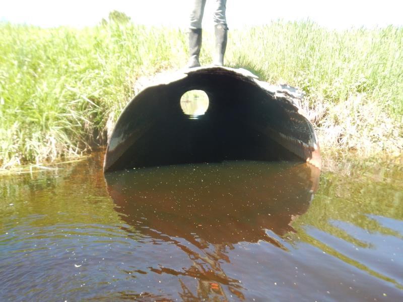
Inlet
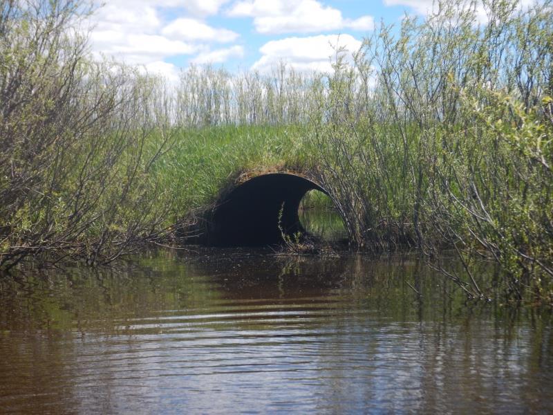
Outlet
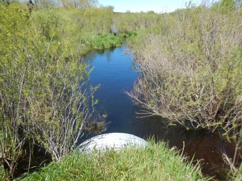
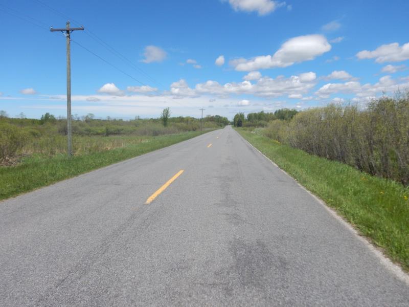
Upstream Conditions
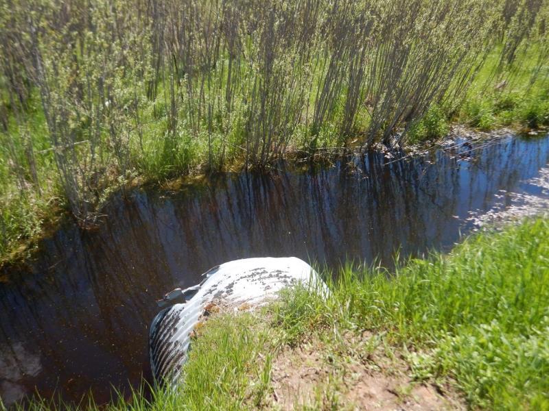
Downstream Conditions
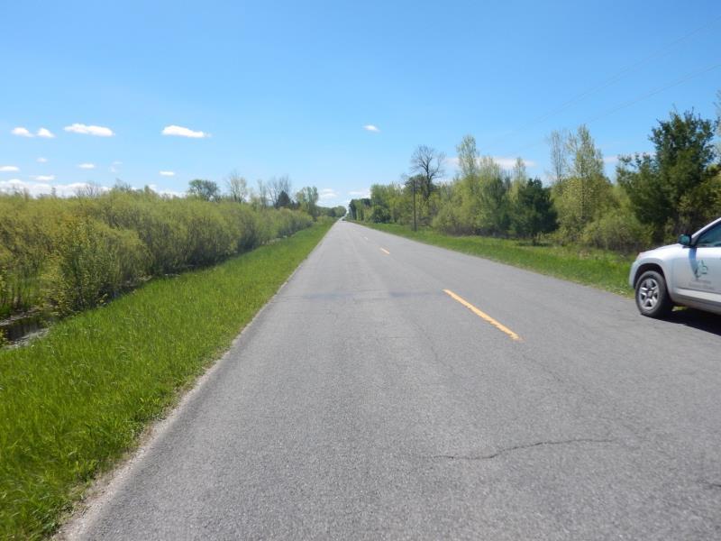
Road Approach - Left
Road Approach - Right
Crossing Information
Type of Crossing: culvert(s)
Number of Structures: 1
Structure Shape: Round
Inlet Type: Projecting
Outlet Type: At Stream Grade
Structure Material: Metal
Structure Substrate: None
General Conditions: Good
Structure Interior: corrugated
Dimensions of Structure: Length 55 ft.
, Width 6 ft.
, Height 6 ft.
Structure is NOT Perched
Structure Inlet
Water Depth: 3.2 ft.
Embedded Depth of Structure: 0 ft.
Water Velocity*: 0.6 ft./sec.
Structure Outlet
Water Depth: 2.9 ft.
Embedded Depth of Structure: 0 ft.
Water Velocity*: 0.5 ft./sec.
*Water Velocities were measured 2 ft. below Surface
(with Meter)
Additional Comments
Listed as Manistee National Forest
Stream Information
Stream Flow: Less than Bankfull
Scour Pool: Length 0 ft.
, Width 0 ft.
, Depth 0 ft.
Upstream Pond: Length 0 ft.
, Width 0 ft.
, Depth 0 ft.
Riffle Information
Water Depth: 2 ft.
Bankfull Width: 20 ft.
Wetted Width: 17.5 ft.
Water Velocity: 0.9 ft./sec.
(Measured with Meter)
Dominant Substrate: Organics
Road Information
Paved
County Road
Road Condition: Fair
Road Width at Culvert: 22 ft.
Location of Low Point: At Stream
Runoff Path: Ditch
Embankments
Upstream
Fill Depth: 4 ft.
Slope: Vertical
Downstream
Fill Depth: 2.5 ft.
Slope: 1:1
Approaches
Left Approach
Length: 50 ft.
Slope: Less Than 1%
Vegetation: Heavy
LS Factor: 0.05
Erosion: 0.0018 tons/year
Right Approach
Length: 50 ft.
Slope: Less Than 1%
Vegetation: Heavy
LS Factor: 0.05
Erosion: 0.0018 tons/year
Erosion Information
Total Erosion at Crossing: 0.044 tons/year
Extent of Erosion: Moderate
Notes: Inlet (both sides) of culvert about 3 feet into bank eroded from vertical embankment
Location of Erosion | Erosion Dimensions | Eroded Material | Material Eroded | Total Erosion | ||
facing downstream | Length | Width | Depth | Reaching Stream? | (tons/year) | |
Right Upstream Embankment |
3 ft. |
3 ft. |
1 ft. |
yes |
Sandy Loam |
0.0202 |
Left Upstream Embankment |
3 ft. |
3 ft. |
1 ft. |
yes |
Sandy Loam |
0.0202 |
Summary Information
Fish Passability 0.5
Erosion is an area of concern for this site.
At inlet
A future visit to this site is recommended. see inlet
�