Road Stream Crossing Site LIN_CRA013
Lincoln River Watershed, North Branch Lincoln River
N Stephens Rd
Sherman Twp,
Mason County
Information collected by:
Site Location
GPS Coordinates: 44.04193
, -86.20059
T19N
R16W
Sec 14
Owned by Private
Fish Passability 1
Structure is NOT Perched
Total Erosion: 2.8884 tons/year
Severity: Severe
Year Inventoried: 2019
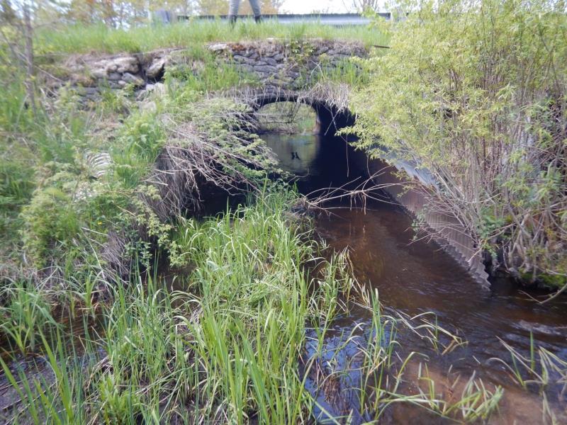
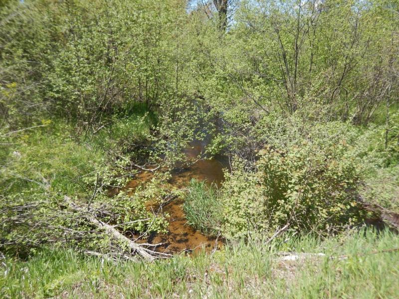
Inlet
Inlet
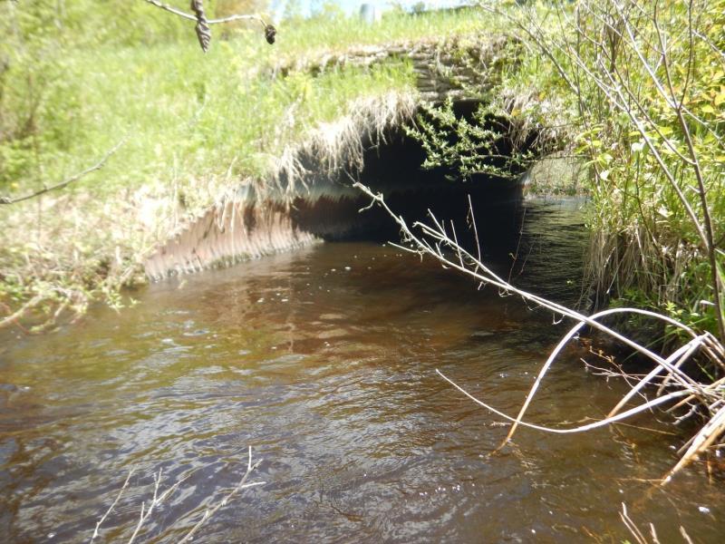
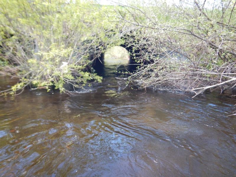
Outlet
Outlet
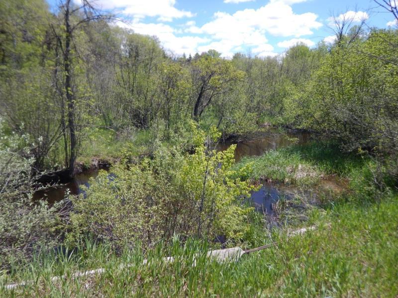
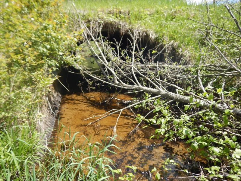
Upstream Conditions
Downstream Conditions
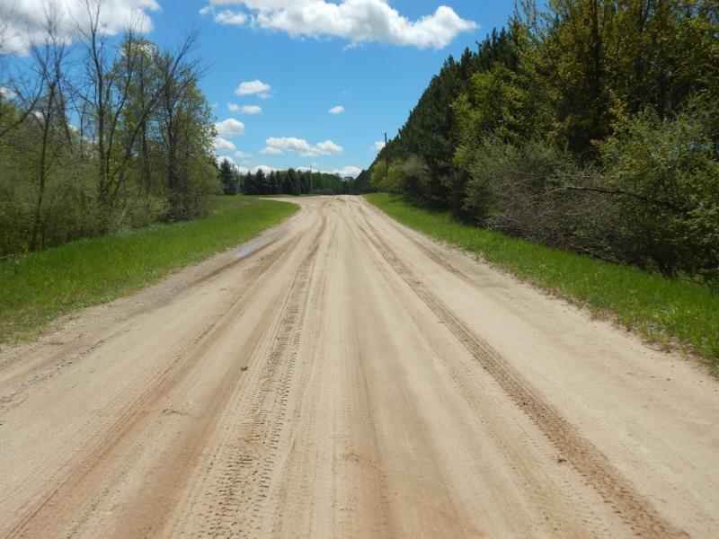
Road Approach - Left
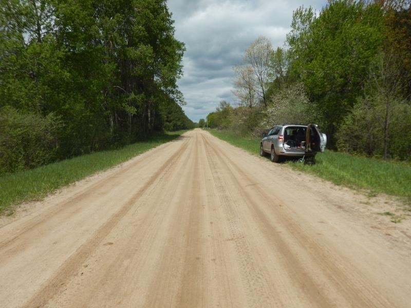
Road Approach - Right
Crossing Information
Type of Crossing: culvert(s)
Number of Structures: 2
Structure Shape: Ellipse
Inlet Type: Other
Outlet Type: At Stream Grade
Structure Material: Metal
Structure Substrate: Sand
General Conditions: Good
Multiple Culverts/Spans | ||||
Culvert/Span | Width | Length | Height | Material |
2 |
10.1 ft. |
40 ft. |
6.8 ft. |
Metal |
Structure Interior: corrugated
Dimensions of Structure: Length 40 ft.
, Width 9.9 ft.
, Height 6.3 ft.
Structure is NOT Perched
Structure Inlet
Water Depth: 1.6 ft.
Embedded Depth of Structure: 0 ft.
Water Velocity*: 0.1 ft./sec.
Structure Outlet
Water Depth: 2.8 ft.
Embedded Depth of Structure: 0 ft.
Water Velocity*: 1.3 ft./sec.
*Water Velocities were measured 1.4 ft. below Surface
(with Meter)
Additional Comments
Culvert 1 is partially obstructed; velocity culvert 1 is recorded below
Stream Information
Stream Flow: Less than Bankfull
Scour Pool: Length 0 ft.
, Width 0 ft.
, Depth 0 ft.
Upstream Pond: Length 26 ft.
, Width 46 ft.
, Depth 0 ft.
Riffle Information
Water Depth: 1.3 ft.
Bankfull Width: 19.5 ft.
Wetted Width: 17 ft.
Water Velocity: 1.8 ft./sec.
(Measured with Meter)
Dominant Substrate: Sand
Road Information
Sand
County Road
Road Condition: Good
Road Width at Culvert: 23 ft.
Location of Low Point: At Stream
Runoff Path: Roadway
Embankments
Upstream
Fill Depth: 2.5 ft.
Slope: 1:1.5
Downstream
Fill Depth: 2.5 ft.
Slope: 1:1.5
Approaches
Left Approach
Length: 300 ft.
Slope: 1% to 5%
Vegetation: Heavy
LS Factor: 0.46
Erosion: 0.8744 tons/year
Right Approach
Length: 500 ft.
Slope: 1% to 5%
Vegetation: Heavy
LS Factor: 0.5
Erosion: 1.584 tons/year
Erosion Information
Total Erosion at Crossing: 2.8884 tons/year
Extent of Erosion: Moderate
Notes: As culvert 1 is obstructed, flow and washout occurs faster in # 2
Location of Erosion | Erosion Dimensions | Eroded Material | Material Eroded | Total Erosion | ||
facing downstream | Length | Width | Depth | Reaching Stream? | (tons/year) | |
Right Downstream Embankment |
20 ft. |
2.5 ft. |
3 ft. |
yes |
Sandy Loam |
0.4032 |
Left Upstream Embankment |
2 ft. |
2 ft. |
1 ft. |
yes |
Sandy Loam |
0.0134 |
Left Downstream Streambank |
2 ft. |
4 ft. |
1 ft. |
yes |
Sandy Loam |
0.0134 |
Summary Information
Fish Passability 1
Erosion is an area of concern for this site.
1 Culvert is obstructed; passage possible in #2
A future visit to this site is recommended. to remove/repair obstruction
These non-native species were observerd at this site: Autumn Olive, Reed Canary Grass
�