Road Stream Crossing Site LIN_CRA015
Lincoln River Watershed, North Branch Lincoln River
N Larson Rd
Sheridan Twp,
Mason County
Information collected by:
Site Location
GPS Coordinates: 44.034671
, -86.140672
T19N
R15W
Sec 18
Owned by Private
Fish Passability 0.5
Structure is NOT Perched
Total Erosion: 0.1686 tons/year
Severity: Moderate
Year Inventoried: 2019
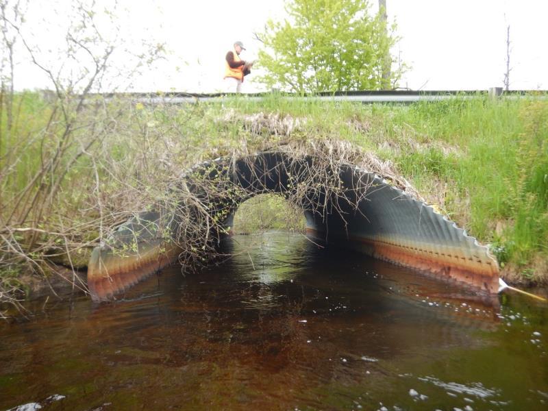
Inlet
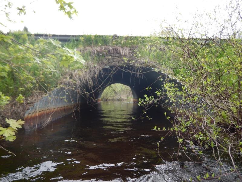
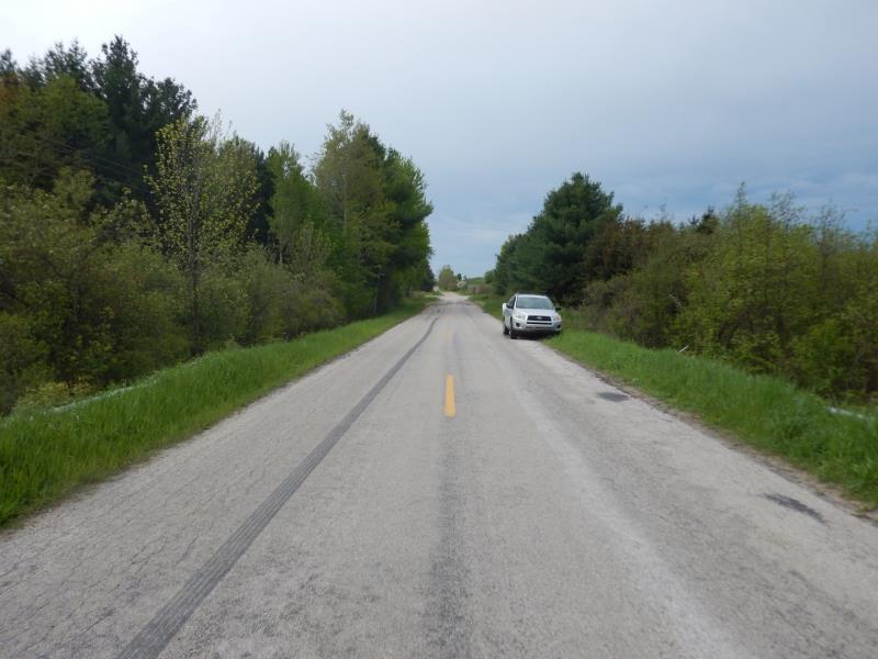
Outlet
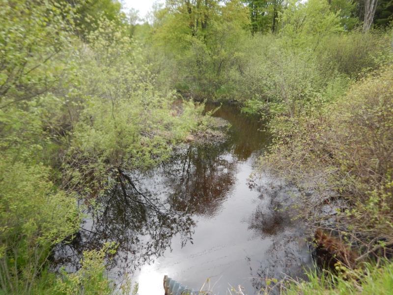
Upstream Conditions
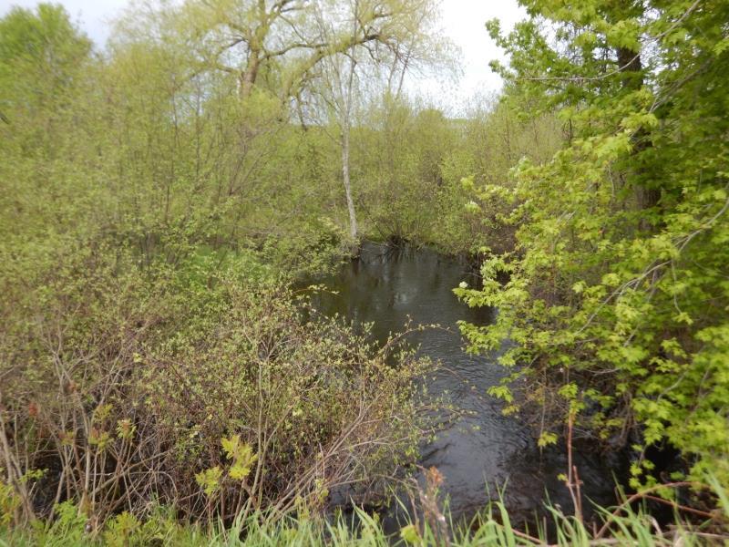
Downstream Conditions
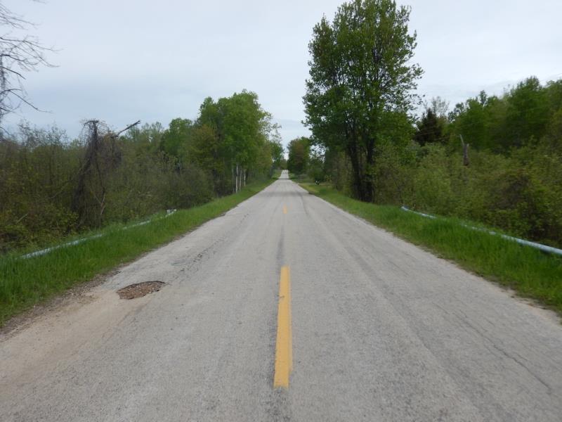
Road Approach - Left
Road Approach - Right
Crossing Information
Type of Crossing: culvert(s)
Number of Structures: 1
Structure Shape: Pipe Arch
Inlet Type: Mitered
Outlet Type: At Stream Grade
Structure Material: Metal
Structure Substrate: None
General Conditions: Good
Structure Interior: corrugated
Dimensions of Structure: Length 29.3 ft.
, Width 11.7 ft.
, Height 7 ft.
Structure is NOT Perched
Structure Inlet
Water Depth: 1.5 ft.
Embedded Depth of Structure: 0 ft.
Water Velocity*: 2 ft./sec.
Structure Outlet
Water Depth: 1.4 ft.
Embedded Depth of Structure: 0 ft.
Water Velocity*: 2.3 ft./sec.
*Water Velocities were measured 1 ft. below Surface
(with Meter)
Stream Information
Stream Flow: Less than Bankfull
Scour Pool: Length 0 ft.
, Width 0 ft.
, Depth 0 ft.
Upstream Pond: Length 0 ft.
, Width 46 ft.
, Depth 0 ft.
Riffle Information
Water Depth: 3 ft.
Bankfull Width: 27 ft.
Wetted Width: 25 ft.
Water Velocity: 1.1 ft./sec.
(Measured with Meter)
Dominant Substrate: Sand
Road Information
Paved
County Road
Road Condition: Good
Road Width at Culvert: 20 ft.
Location of Low Point: Other
Runoff Path: Ditch
Embankments
Upstream
Fill Depth: 2.5 ft.
Slope: Vertical
Downstream
Fill Depth: 2.5 ft.
Slope: Vertical
Approaches
Left Approach
Length: 100 ft.
Slope: Less Than 1%
Vegetation: Heavy
LS Factor: 0.05
Erosion: 0.0033 tons/year
Right Approach
Length: 500 ft.
Slope: 1% to 5%
Vegetation: Heavy
LS Factor: 0.5
Erosion: 0.1653 tons/year
Erosion Information
Total Erosion at Crossing: 0.1686 tons/year
Extent of Erosion: Stabilized
Summary Information
Fish Passability 0.5
�