Road Stream Crossing Site LIN_CRA017
Lincoln River Watershed, North Branch Lincoln River Tributary
E Dewey Rd
Sheridan Twp,
Mason County
Information collected by:
Site Location
GPS Coordinates: 44.018631
, -86.146967
T19N
R15W
Sec 19
Owned by Private
Fish Passability 0.9
Total Erosion: 2.8926 tons/year
Severity: Severe
Year Inventoried: 2019
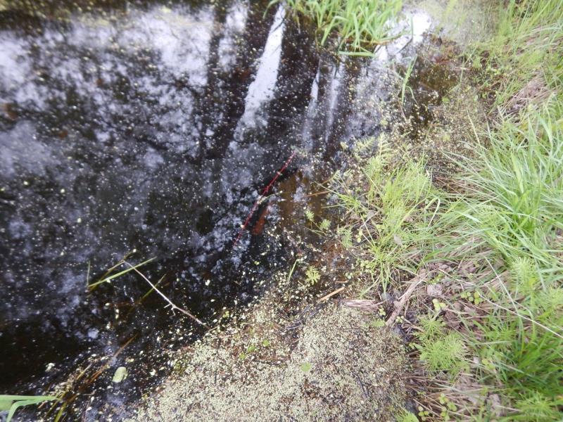
Inlet
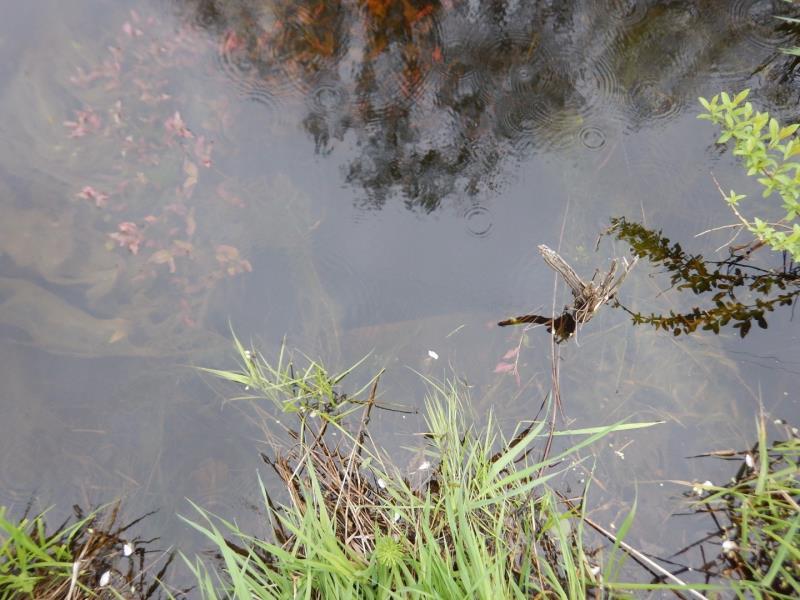
Outlet
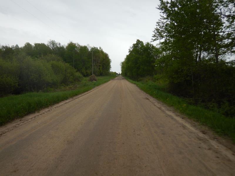
Upstream Conditions
Downstream Conditions
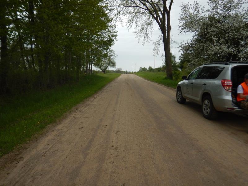
Road Approach - Left
Road Approach - Right
Crossing Information
Type of Crossing: culvert(s)
Number of Structures: 1
Structure Shape: Round
Inlet Type: Projecting
Outlet Type: Other
Structure Material: Metal
Structure Substrate: Mixture
General Conditions: Poor
Structure Interior: corrugated
Structure is Rusted through
Dimensions of Structure: Length 40 ft.
, Width 3 ft.
, Height 3 ft.
Structure Inlet
Water Depth: 2 ft.
Embedded Depth of Structure: 0 ft.
Water Velocity*: 0 ft./sec.
Structure Outlet
Water Depth: 1.9 ft.
Embedded Depth of Structure: 1 ft.
Water Velocity*: 0.1 ft./sec.
*Water Velocities were measured at the Surface
(with Float Test)
Additional Comments
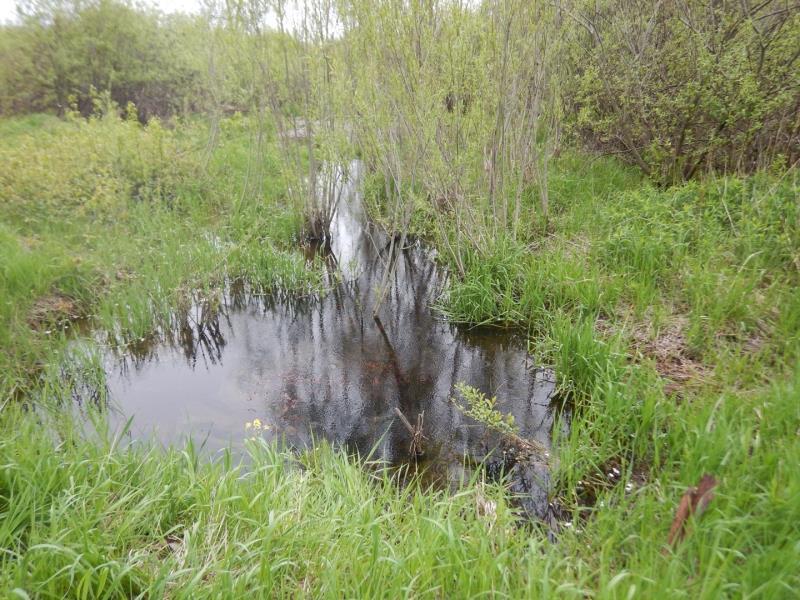
Submerged Culvert
Stream Information
Stream Flow: More than Bankfull
Riffle Information
Water Depth: 1.4 ft.
Bankfull Width: 15 ft.
Wetted Width: 15 ft.
Water Velocity: 0.1 ft./sec.
(Measured with Meter)
Dominant Substrate: Organics
Road Information
Sand
County Road
Road Condition: Fair
Road Width at Culvert: 21 ft.
Location of Low Point: At Stream
Runoff Path: Roadway
Embankments
Upstream
Fill Depth: 2.5 ft.
Slope: More than 1:2
Downstream
Fill Depth: 2.5 ft.
Slope: More than 1:2
Approaches
Left Approach
Length: 500 ft.
Slope: 1% to 5%
Vegetation: Heavy
LS Factor: 0.5
Erosion: 1.4463 tons/year
Right Approach
Length: 500 ft.
Slope: 1% to 5%
Vegetation: Heavy
LS Factor: 0.5
Erosion: 1.4463 tons/year
Erosion Information
Total Erosion at Crossing: 2.8926 tons/year
Extent of Erosion: Severe
Notes: field runoff into inlet ditch
Summary Information
Fish Passability 0.9
Fish Passage is an area of concern for this site.
slow flowing water; algae carpets throughout; direct runoff of agricultural fields
A future visit to this site is recommended. culvert is submerged and drainage seems to create free standing water
These non-native species were observerd at this site: Thistle
�