Road Stream Crossing Site LIN_CRA021
Lincoln River Watershed, North Branch Lincoln River Tributary
E Dewey Rd
Sheridan Twp,
Mason County
Information collected by:
Site Location
GPS Coordinates: 44.018762
, -86.155363
T19N
R15W
Sec 19
Owned by Private
Federal
Federal
Fish Passability 0.9
Structure is NOT Perched
Total Erosion: 0.1653 tons/year
Severity: Minor
Year Inventoried: 2019
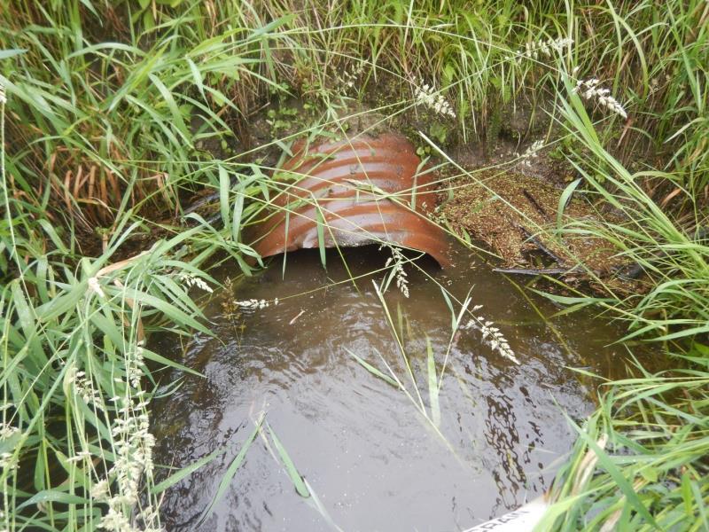
Inlet
Outlet
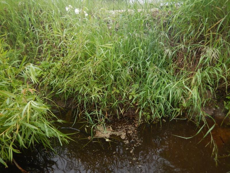
Upstream Conditions
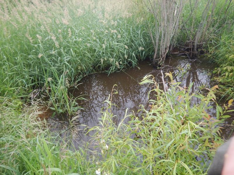
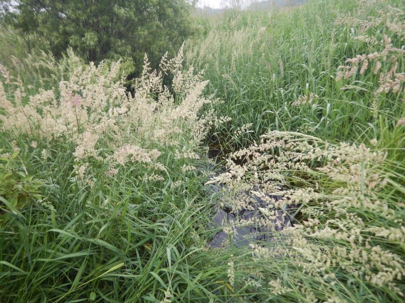
Downstream Conditions
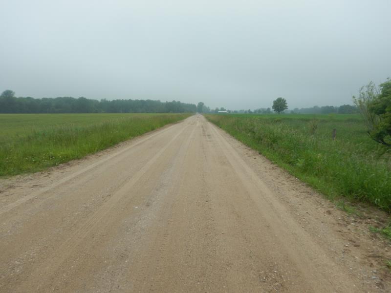
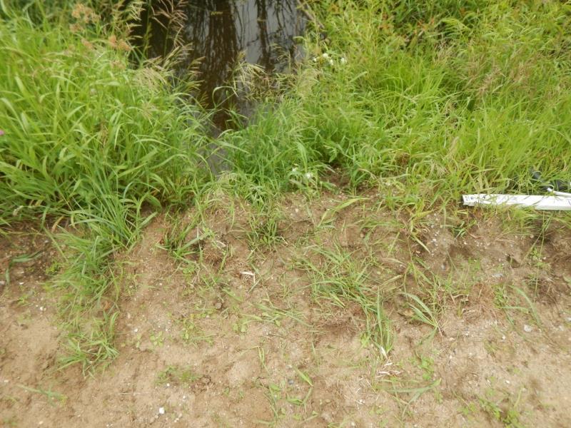
Road Approach - Left
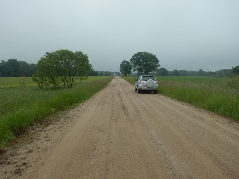
Road Approach - Right
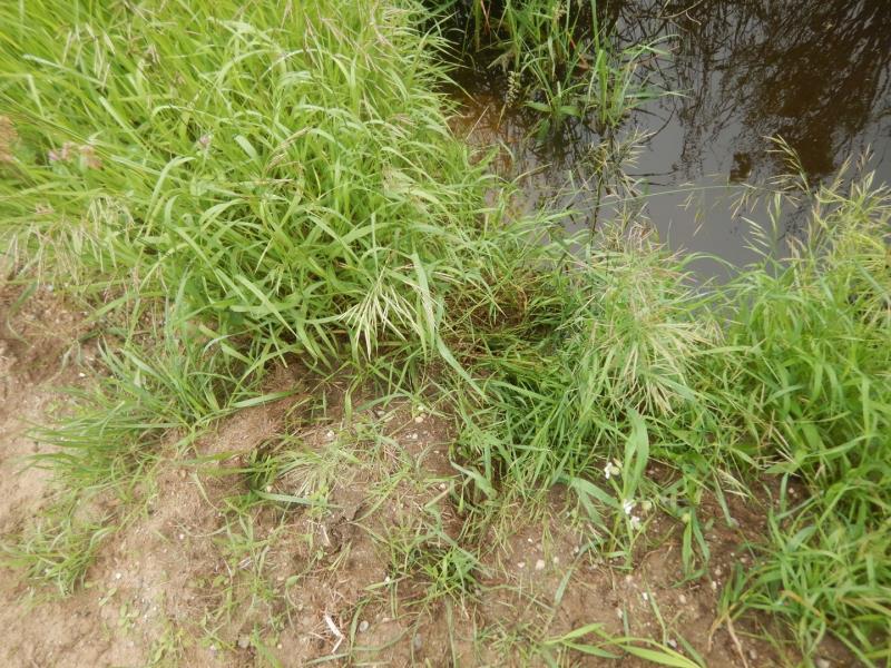
Erosion
Crossing Information
Type of Crossing: culvert(s)
Number of Structures: 1
Structure Shape: Round
Inlet Type: Projecting
Outlet Type: At Stream Grade
Structure Material: Metal
Structure Substrate: Gravel
General Conditions: Fair
Structure Interior: corrugated
Dimensions of Structure: Length 28 ft.
, Width 2 ft.
, Height 2 ft.
Structure is NOT Perched
Structure Inlet
Water Depth: 1.6 ft.
Embedded Depth of Structure: 0.1 ft.
Water Velocity*: 0.4 ft./sec.
Structure Outlet
Water Depth: 1.4 ft.
Embedded Depth of Structure: 1 ft.
Water Velocity*: 1.2 ft./sec.
*Water Velocities were measured 1 ft. below Surface
(with Meter)
Additional Comments
diked ditch with agricultural runoff and submerged
Stream Information
Stream Flow: Less than Bankfull
Scour Pool: Length 0 ft.
, Width 0 ft.
, Depth 0 ft.
Upstream Pond: Length 0 ft.
, Width 0 ft.
, Depth 0 ft.
Riffle Information
Water Depth: 1.2 ft.
Bankfull Width: 14 ft.
Wetted Width: 12 ft.
Water Velocity: 0.2 ft./sec.
(Measured with Meter)
Dominant Substrate: Organics
Road Information
Sand
County Road
Road Condition: Fair
Road Width at Culvert: 20 ft.
Location of Low Point: Other
Runoff Path: Roadway
Embankments
Upstream
Fill Depth: 3 ft.
Slope: Vertical
Downstream
Fill Depth: 4 ft.
Slope: Vertical
Approaches
Left Approach
Length: 500 ft.
Slope: Less Than 1%
Vegetation: Heavy
LS Factor: 0.05
Erosion: 0.1377 tons/year
Right Approach
Length: 100 ft.
Slope: Less Than 1%
Vegetation: Heavy
LS Factor: 0.05
Erosion: 0.0275 tons/year
Erosion Information
Total Erosion at Crossing: 0.1653 tons/year
Extent of Erosion: Stabilized
Location of Erosion | Erosion Dimensions | Eroded Material | Material Eroded | Total Erosion | ||
facing downstream | Length | Width | Depth | Reaching Stream? | (tons/year) | |
Right Downstream Embankment |
20 ft. |
2 ft. |
0.2 ft. |
yes |
Gravel |
0 |
Summary Information
Fish Passability 0.9
Fish Passage is an area of concern for this site.
grass is too thick for fish passage?
These non-native species were observerd at this site: Reed Canary Grass
�