Road Stream Crossing Site LIN_CRA022
Lincoln River Watershed, North Branch Lincoln River
N Tuttle Rd
Sherman Twp,
Mason County
Information collected by:
Site Location
GPS Coordinates: 44.05476
, -86.24062
T19N
R16W
Sec 9
Owned by Private
Fish Passability 0.9
Total Erosion: 0.2511 tons/year
Severity: Moderate
Year Inventoried: 2019
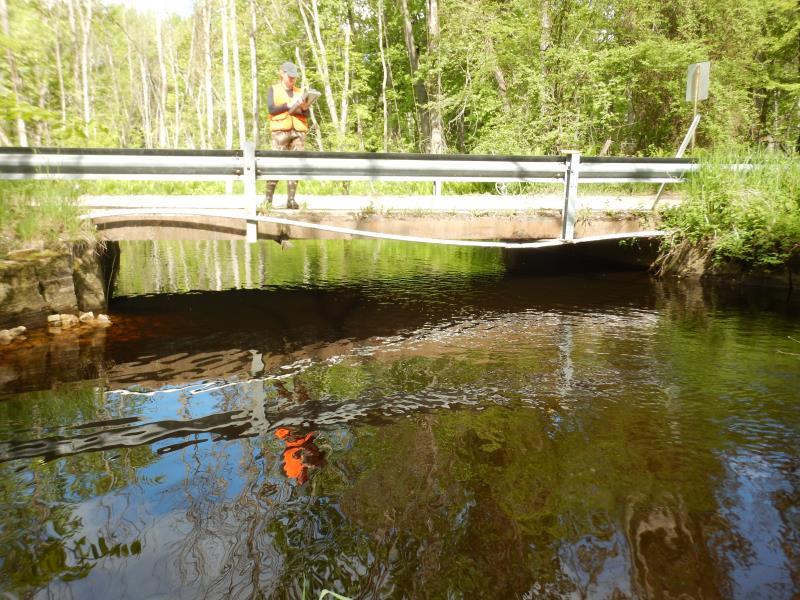
Inlet
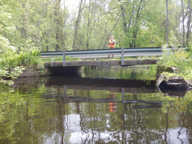
Outlet
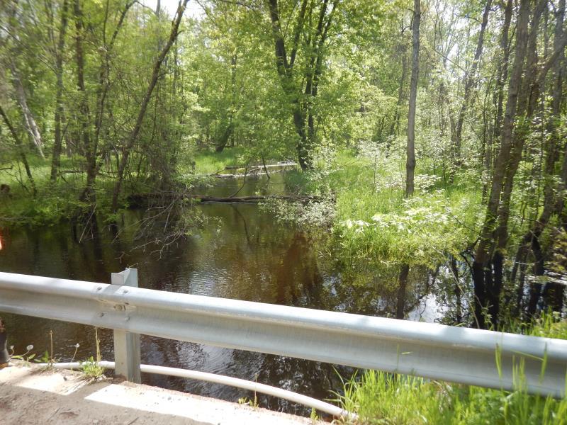
Upstream Conditions
Upstream Conditions
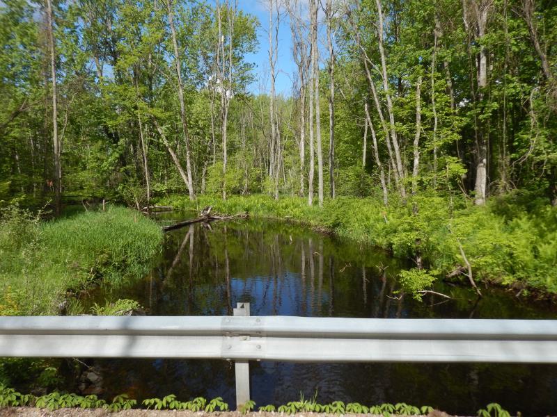
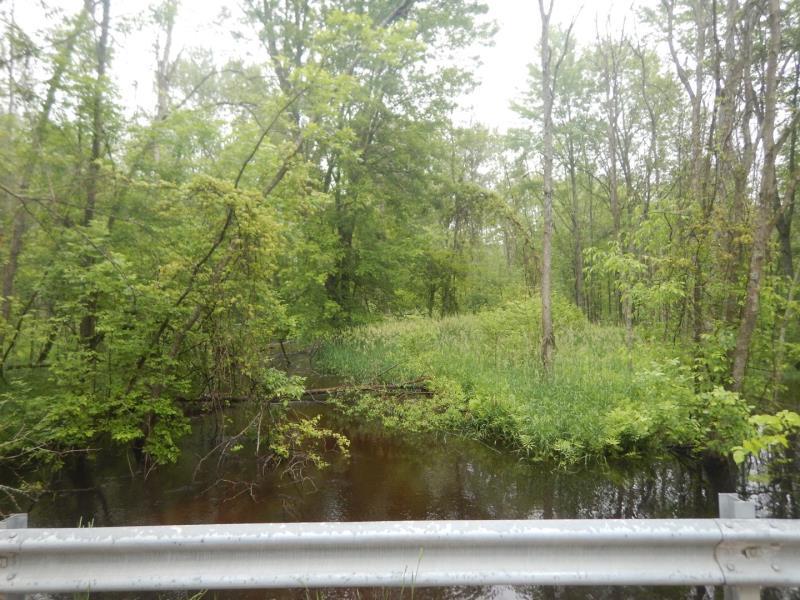
Downstream Conditions
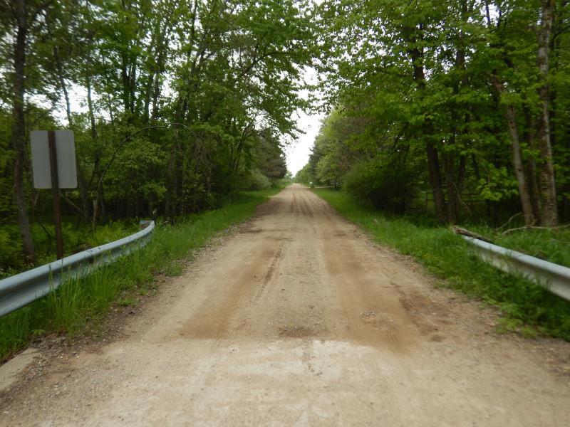
Road Approach - Left
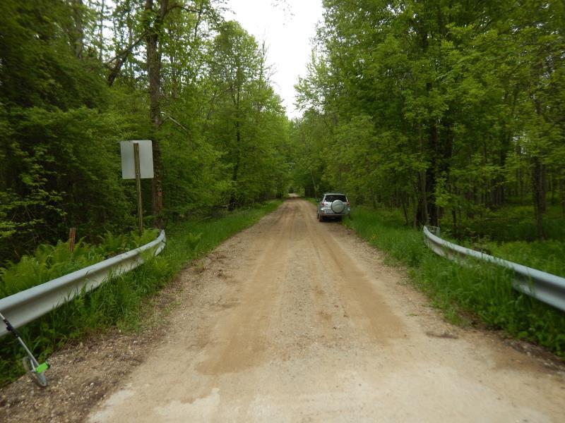
Road Approach - Right
Crossing Information
Type of Crossing: Bridge
Structure Shape: Open Bottom Square/Rectangle
Inlet Type: Wingwall 10-30 Degree
Outlet Type: At Stream Grade
Structure Material: Concrete
Structure Substrate: Sand
General Conditions: Fair
Structure Interior: smooth
Dimensions of Structure: Length 23 ft.
, Width 15 ft.
, Height 6 ft.
Structure Inlet
Water Depth: 4.2 ft.
Embedded Depth of Structure: 0 ft.
Water Velocity*: 0.9 ft./sec.
Structure Outlet
Water Depth: 5 ft.
Embedded Depth of Structure: 0 ft.
Water Velocity*: 0.6 ft./sec.
*Water Velocities were measured 0.5 ft. below Surface
(with Meter)
Stream Information
Stream Flow: Less than Bankfull
Riffle Information
Water Depth: 3 ft.
Bankfull Width: 25 ft.
Wetted Width: 23 ft.
Water Velocity: 1.1 ft./sec.
(Measured with Meter)
Dominant Substrate: Sand
Road Information
Paved
County Road
Road Condition: Good
Road Width at Culvert: 15 ft.
Location of Low Point: At Stream
Runoff Path: Roadway
Fill Depth: 0 ft.
Slope: Vertical
Fill Depth: 0 ft.
Slope: Vertical
Approaches
Left Approach
Length: 500 ft.
Slope: 1% to 5%
Vegetation: Heavy
LS Factor: 0.5
Erosion: 0.124 tons/year
Right Approach
Length: 500 ft.
Slope: 1% to 5%
Vegetation: Heavy
LS Factor: 0.5
Erosion: 0.124 tons/year
Erosion Information
Total Erosion at Crossing: 0.2511 tons/year
Extent of Erosion: Minor
Notes: Sand from road reaching stream at bridge from vehicle traffic and precipitation.
Location of Erosion | Erosion Dimensions | Eroded Material | Material Eroded | Total Erosion | ||
facing downstream | Length | Width | Depth | Reaching Stream? | (tons/year) | |
Right Approach |
15 ft. |
500 ft. |
0.1 ft. |
yes |
Sand |
0.0017 |
Left Approach |
15 ft. |
500 ft. |
0.1 ft. |
yes |
Gravel |
0.0015 |
Summary Information
Fish Passability 0.9
These non-native species were observerd at this site: Reed Canary Grass, Autumn Olive, Thistle
�