Road Stream Crossing Site LIN_CRA024
Lincoln River Watershed, North Branch Lincoln River
US-31
Sherman Twp,
Mason County
Information collected by:
Site Location
GPS Coordinates: 44.057923
, -86.280213
T19N
R16W
Sec 7
Owned by Private
Fish Passability 0.9
Total Erosion: 0.7934 tons/year
Severity: Moderate
Year Inventoried: 2019
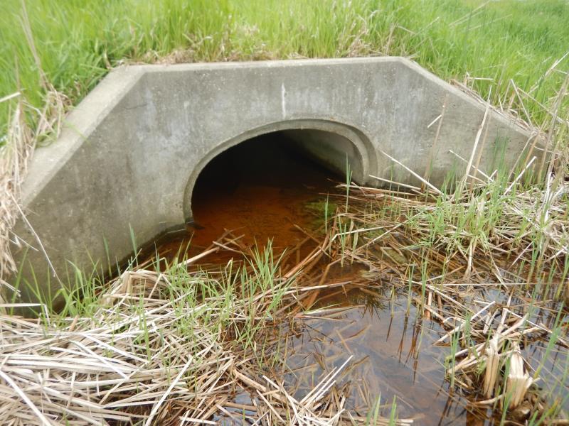
Inlet
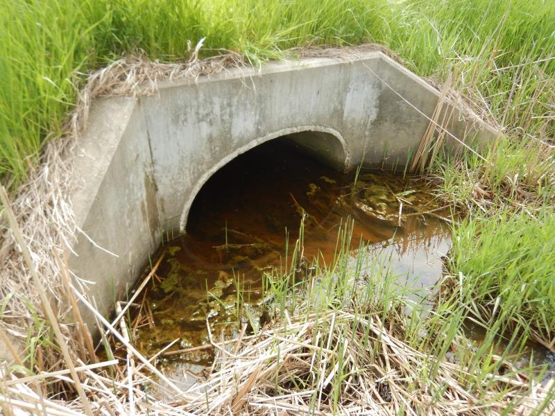
Outlet
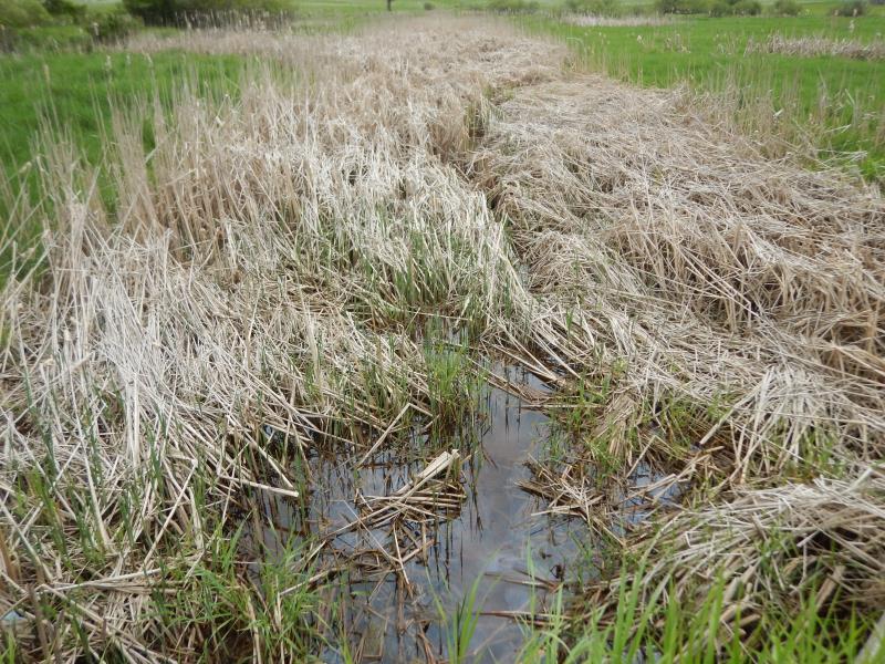
Upstream Conditions
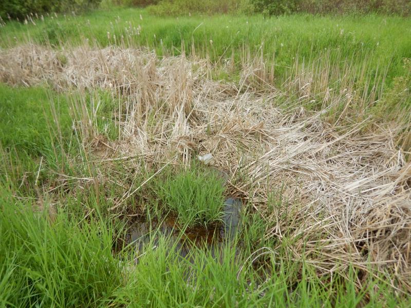
Downstream Conditions
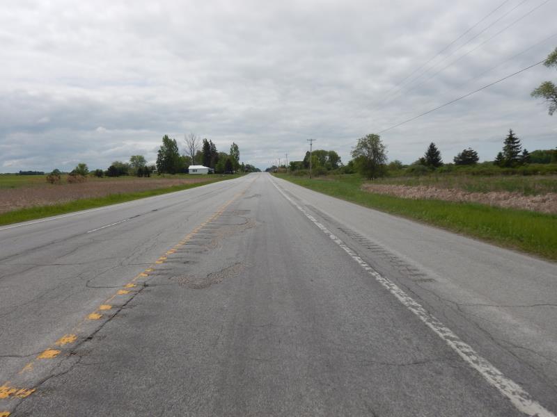
Road Approach - Left
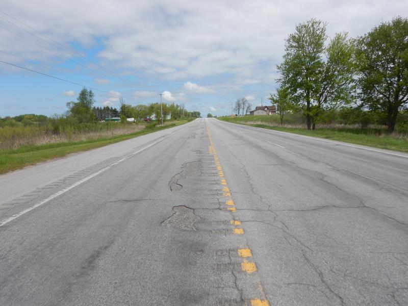
Road Approach - Right
Crossing Information
Type of Crossing: culvert(s)
Number of Structures: 1
Structure Shape: Ellipse
Inlet Type: Wingwall 30-70 Degree
Outlet Type: At Stream Grade
Structure Material: Concrete
Structure Substrate: Mixture
General Conditions: Good
Structure Interior: smooth
Dimensions of Structure: Length 108 ft.
, Width 5 ft.
, Height 3.5 ft.
Structure Inlet
Water Depth: 1.2 ft.
Embedded Depth of Structure: 0.5 ft.
Water Velocity*: 0.1 ft./sec.
Structure Outlet
Water Depth: 1.1 ft.
Embedded Depth of Structure: 0.5 ft.
Water Velocity*: 0.1 ft./sec.
*Water Velocities were measured 1 ft. below Surface
(with Meter)
Additional Comments
Culvert also has a wingwall of 30-70 degrees
Stream Information
Stream Flow: Less than Bankfull
Riffle Information
Water Depth: 0.5 ft.
Bankfull Width: 12 ft.
Wetted Width: 6 ft.
Water Velocity: 0.1 ft./sec.
(Measured with Meter)
Dominant Substrate: Organics
Road Information
Paved
Federal Road
Road Condition: Good
Road Width at Culvert: 48 ft.
Location of Low Point: At Stream
Runoff Path: Ditch
Embankments
Upstream
Fill Depth: 3.5 ft.
Slope: More than 1:2
Downstream
Fill Depth: 4 ft.
Slope: More than 1:2
Approaches
Left Approach
Length: 500 ft.
Slope: 1% to 5%
Vegetation: Heavy
LS Factor: 0.5
Erosion: 0.3967 tons/year
Right Approach
Length: 500 ft.
Slope: 1% to 5%
Vegetation: Heavy
LS Factor: 0.5
Erosion: 0.3967 tons/year
Erosion Information
Total Erosion at Crossing: 0.7934 tons/year
Extent of Erosion: Stabilized
Summary Information
Fish Passability 0.9
These non-native species were observerd at this site: Thistle
�