Road Stream Crossing Site LIN_CRA026
Lincoln River Watershed, North Branch Lincoln River
W Fountain Rd
Victory Twp,
Mason County
Information collected by:
Site Location
GPS Coordinates: 44.048536
, -86.292685
T19N
R17W
Sec 13
Owned by Private
Fish Passability 0
Total Erosion: 0.0463 tons/year
Severity: Severe
Year Inventoried: 2019
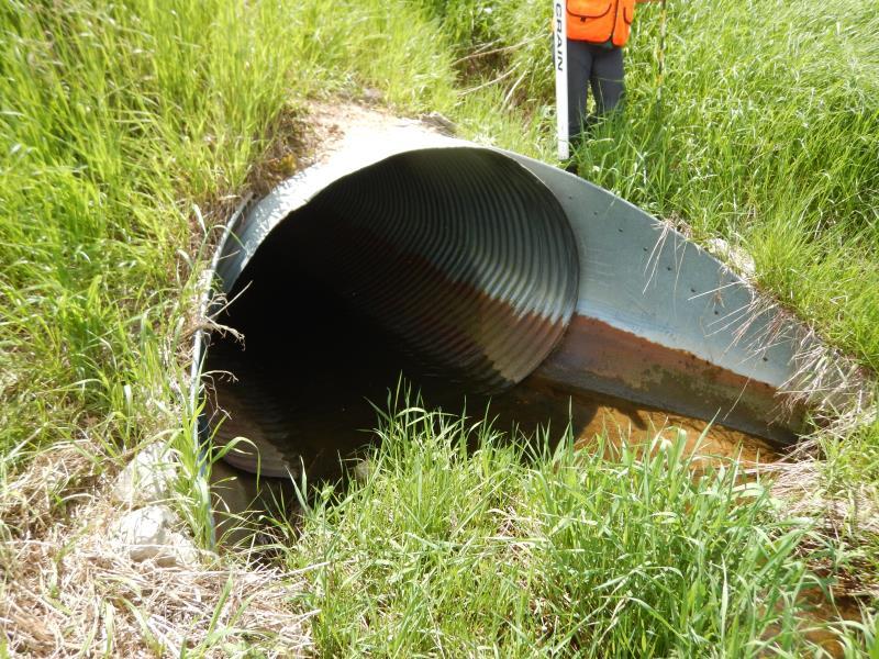
Inlet
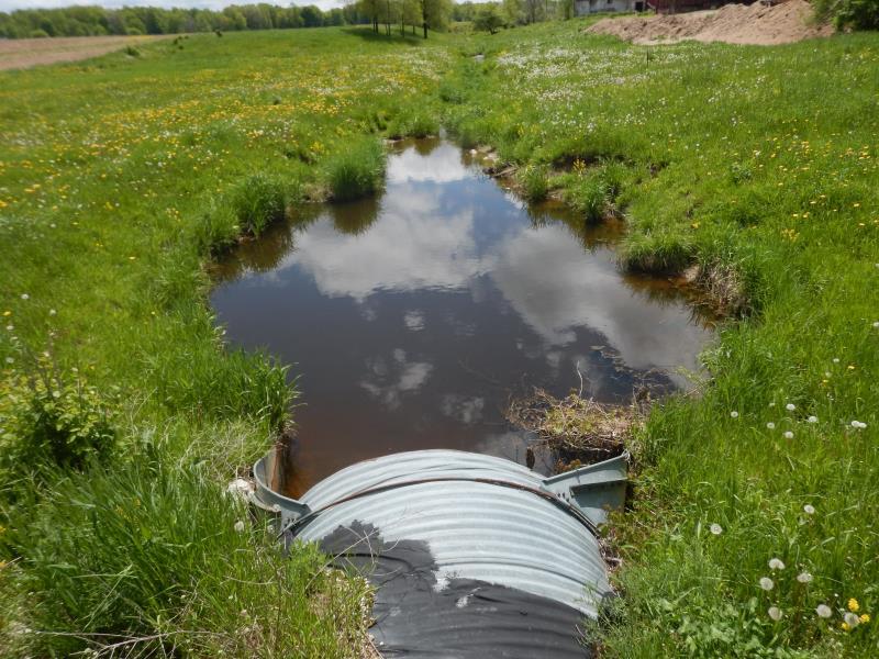
Outlet
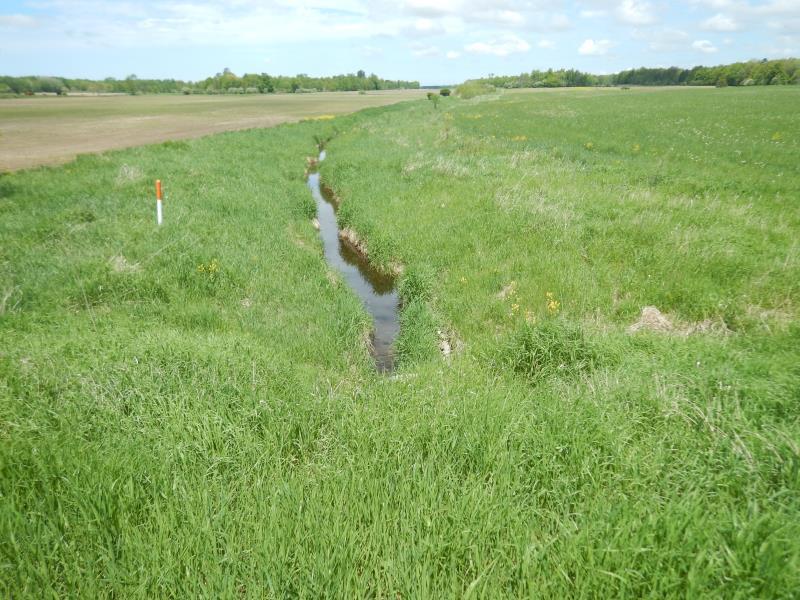
Upstream Conditions
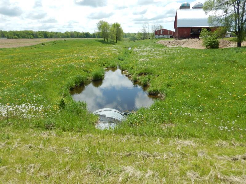
Downstream Conditions
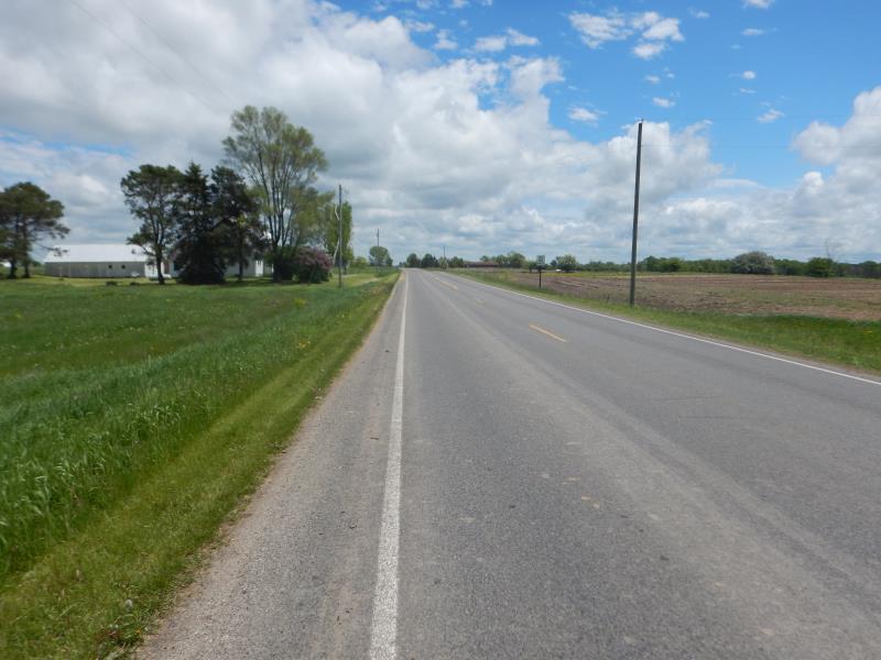
Road Approach - Left
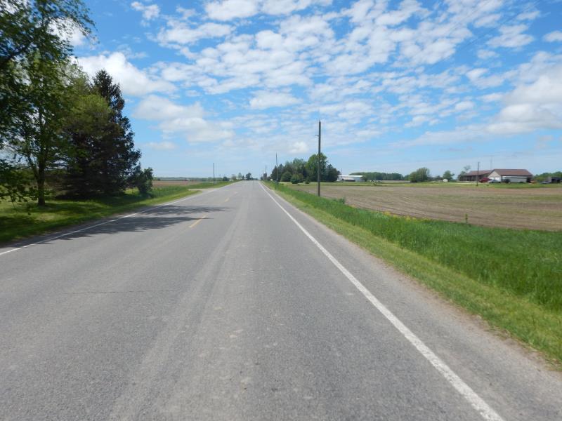
Road Approach - Right
Crossing Information
Type of Crossing: culvert(s)
Number of Structures: 1
Structure Shape: Ellipse
Inlet Type: Apron
Outlet Type: At Stream Grade
Structure Material: Metal
Structure Substrate: Sand
General Conditions: Good
Structure Interior: corrugated
Dimensions of Structure: Length 77 ft.
, Width 6.5 ft.
, Height 4.6 ft.
Structure Inlet
Water Depth: 0.3 ft.
Embedded Depth of Structure: 0 ft.
Water Velocity*: 1.5 ft./sec.
Water Depth: 0 ft.
Embedded Depth of Structure: 0 ft.
Water Velocity*: 1.5 ft./sec.
*Water Velocities were measured 0.1 ft. below Surface
(with Meter)
Additional Comments
Fenced off agricultural land at outlet; heavily livestock-accessible
Stream Information
Stream Flow: Less than Bankfull
Scour Pool: Length 18 ft.
, Width 18 ft.
, Depth 0 ft.
Riffle Information
Water Depth: 1.5 ft.
Bankfull Width: 5 ft.
Wetted Width: 4 ft.
Water Velocity: 0.6 ft./sec.
(Measured with Meter)
Dominant Substrate: Gravel
Road Information
Paved
County Road
Road Condition: Good
Road Width at Culvert: 28 ft.
Location of Low Point: At Stream
Runoff Path: Ditch
Embankments
Upstream
Fill Depth: 5.5 ft.
Slope: More than 1:2
Downstream
Fill Depth: 5.5 ft.
Slope: More than 1:2
Approaches
Left Approach
Length: 500 ft.
Slope: Less Than 1%
Vegetation: Heavy
LS Factor: 0.05
Erosion: 0.0231 tons/year
Right Approach
Length: 500 ft.
Slope: Less Than 1%
Vegetation: Heavy
LS Factor: 0.05
Erosion: 0.0231 tons/year
Erosion Information
Total Erosion at Crossing: 0.0463 tons/year
Extent of Erosion: Stabilized
Summary Information
Fish Passability 0
�