Road Stream Crossing Site LIN_CRA028
Lincoln River Watershed, North Branch Lincoln River
W Victory Dr
Victory Twp,
Mason County
Information collected by:
Site Location
GPS Coordinates: 44.034837
, -86.335979
T19N
R17W
Sec 22
Owned by Private
Fish Passability 0
Perch Height: 0.6 ft.
Total Erosion: 3.0671 tons/year
Severity: Severe
Year Inventoried: 2019
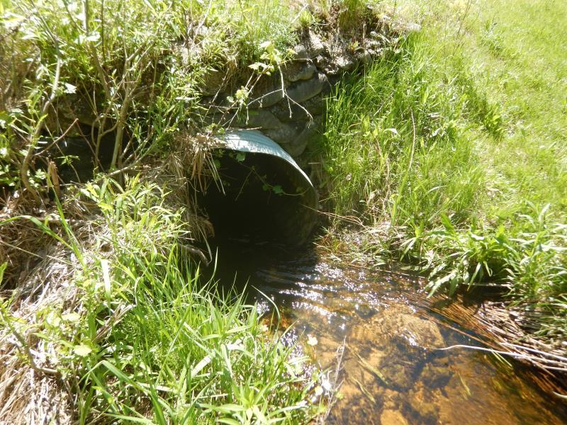
Inlet
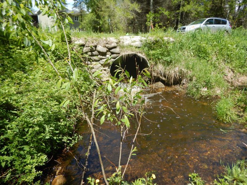
Outlet
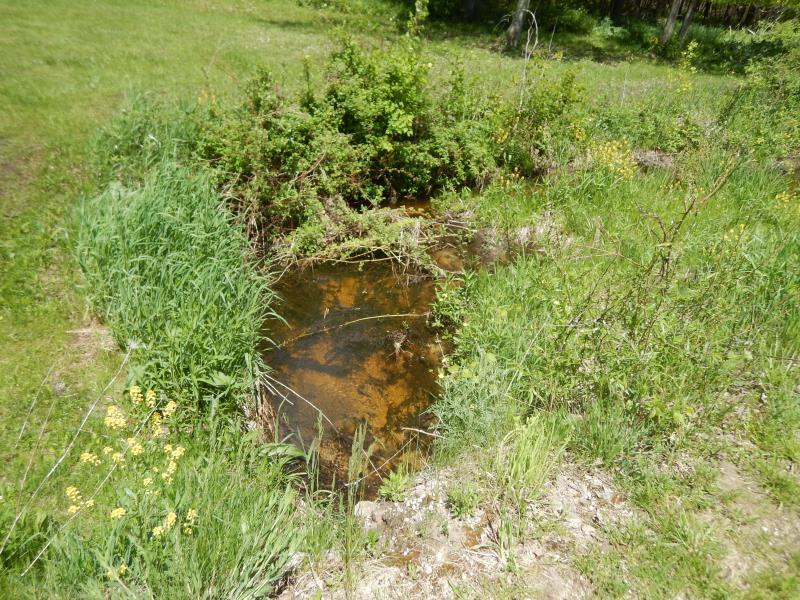
Upstream Conditions
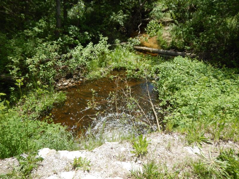
Downstream Conditions
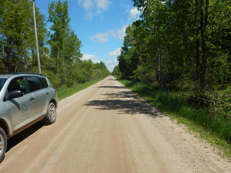
Road Approach - Left
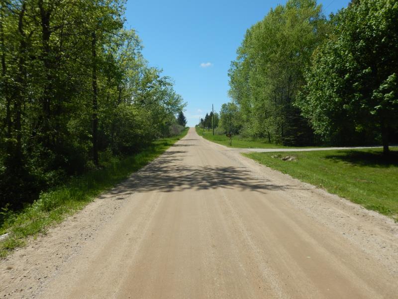
Road Approach - Right
Crossing Information
Type of Crossing: culvert(s)
Number of Structures: 1
Structure Shape: Round
Inlet Type: Headwall
Outlet Type: Freefall into Pool
Structure Material: Metal
Structure Substrate: None
General Conditions: Fair
Structure Interior: corrugated
Dimensions of Structure: Length 25 ft.
, Width 4 ft.
, Height 3 ft.
Perch Height: 0.6 ft.
Structure Inlet
Water Depth: 0.5 ft.
Embedded Depth of Structure: 0 ft.
Water Velocity*: 2.6 ft./sec.
Structure Outlet
Water Depth: 0.3 ft.
Embedded Depth of Structure: 0 ft.
Water Velocity*: 4.4 ft./sec.
*Water Velocities were measured 0.2 ft. below Surface
(with Meter)
Stream Information
Stream Flow: Less than Bankfull
Scour Pool: Length 10 ft.
, Width 10 ft.
, Depth 1.6 ft.
Upstream Pond: Length 0 ft.
, Depth 0 ft.
Riffle Information
Water Depth: 0.7 ft.
Bankfull Width: 11 ft.
Wetted Width: 9 ft.
Water Velocity: 1 ft./sec.
(Measured with Meter)
Dominant Substrate: Sand
Road Information
Gravel
County Road
Road Condition: Good
Road Width at Culvert: 22 ft.
Location of Low Point: At Stream
Runoff Path: Ditch
Embankments
Upstream
Fill Depth: 1.8 ft.
Slope: Vertical
Downstream
Fill Depth: 1.5 ft.
Slope: Vertical
Approaches
Left Approach
Length: 500 ft.
Slope: 1% to 5%
Vegetation: Heavy
LS Factor: 0.5
Erosion: 1.5152 tons/year
Right Approach
Length: 500 ft.
Slope: 1% to 5%
Vegetation: Heavy
LS Factor: 0.5
Erosion: 1.5152 tons/year
Erosion Information
Total Erosion at Crossing: 3.0671 tons/year
Extent of Erosion: Moderate
Notes: Undermining at perched outlet
Location of Erosion | Erosion Dimensions | Eroded Material | Material Eroded | Total Erosion | ||
facing downstream | Length | Width | Depth | Reaching Stream? | (tons/year) | |
Right Downstream Embankment |
5 ft. |
6 ft. |
0.5 ft. |
yes |
Sand |
0.0193 |
Left Downstream Embankment |
5 ft. |
6 ft. |
0.5 ft. |
yes |
Gravel |
0.0175 |
Summary Information
Fish Passability 0
Fish Passage is an area of concern for this site.
Perched culvert, border of scour pool creating obstruction banks
These non-native species were observerd at this site: Thistle and Garlic Mustard
�