Road Stream Crossing Site LIN_CRA029
Lincoln River Watershed, North Branch Lincoln River
N Benson Rd
Sheridan Twp,
Mason County
Information collected by:
Site Location
GPS Coordinates: 44.039211
, -86.120508
T19N
R15W
Sec 17
Owned by Private
Fish Passability 0.5
Total Erosion: 0.2766 tons/year
Severity: Moderate
Year Inventoried: 2019
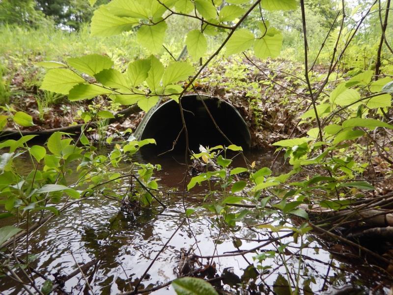
Inlet
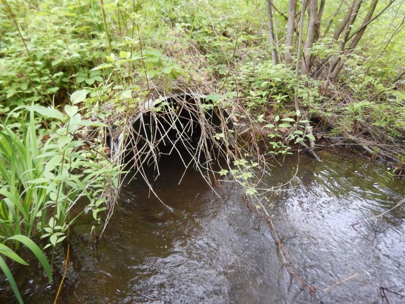
Outlet
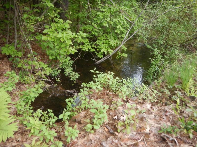
Upstream Conditions
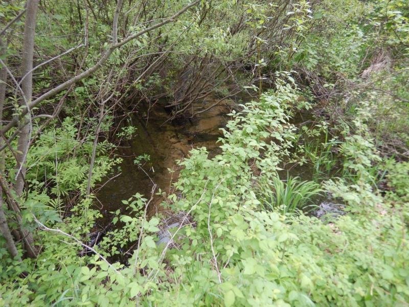
Downstream Conditions
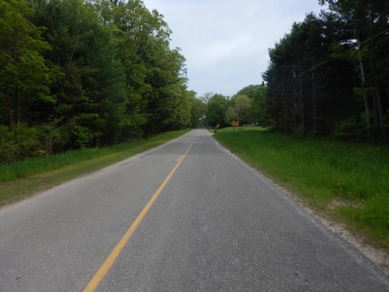
Road Approach - Left
Road Approach - Right
Crossing Information
Type of Crossing: culvert(s)
Number of Structures: 1
Structure Shape: Round
Inlet Type: Projecting
Outlet Type: At Stream Grade
Structure Material: Metal
Structure Substrate: Sand
General Conditions: Good
Structure Interior: corrugated
Dimensions of Structure: Length 60 ft.
, Width 3 ft.
, Height 3 ft.
Structure Inlet
Water Depth: 1.4 ft.
Embedded Depth of Structure: 0 ft.
Water Velocity*: 1.3 ft./sec.
Structure Outlet
Water Depth: 1.4 ft.
Embedded Depth of Structure: 0 ft.
Water Velocity*: 2.1 ft./sec.
*Water Velocities were measured 1 ft. below Surface
(with Meter)
Stream Information
Stream Flow: More than Bankfull
Riffle Information
Water Depth: 0.7 ft.
Bankfull Width: 10 ft.
Wetted Width: 30 ft.
Water Velocity: 0.6 ft./sec.
(Measured with Meter)
Dominant Substrate: Sand
Road Information
Paved
County Road
Road Condition: Good
Road Width at Culvert: 21 ft.
Location of Low Point: At Stream
Runoff Path: Ditch
Embankments
Upstream
Fill Depth: 2.5 ft.
Slope: 1:1.5
Downstream
Fill Depth: 2.5 ft.
Slope: 1:1.5
Approaches
Left Approach
Length: 500 ft.
Slope: 1% to 5%
Vegetation: Heavy
LS Factor: 0.5
Erosion: 0.1736 tons/year
Right Approach
Length: 320 ft.
Slope: 1% to 5%
Vegetation: Heavy
LS Factor: 0.464
Erosion: 0.1031 tons/year
Erosion Information
Total Erosion at Crossing: 0.2766 tons/year
Extent of Erosion: Stabilized
Summary Information
Fish Passability 0.5
These non-native species were observerd at this site: Reed Canary Grass
�