Road Stream Crossing Site LIN_CRA032
Lincoln River Watershed, North Branch Lincoln River Tributary
N Campbell Rd
Sheridan Twp,
Mason County
Information collected by:
Site Location
GPS Coordinates: 44.032403
, -86.100627
T19N
R15W
Sec 21
Fish Passability 0.9
Total Erosion: 0.2444 tons/year
Severity: Minor
Year Inventoried: 2019
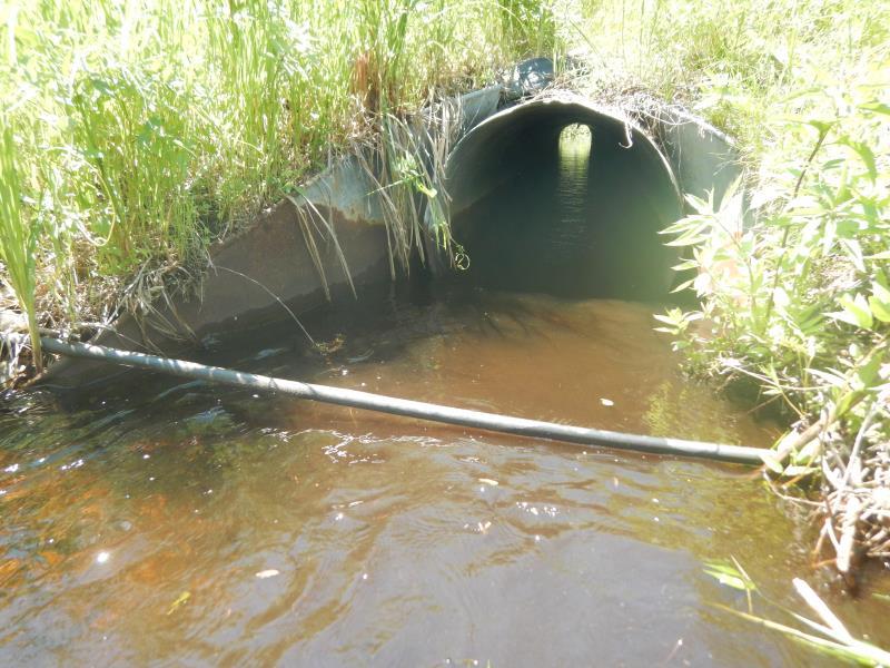
Inlet
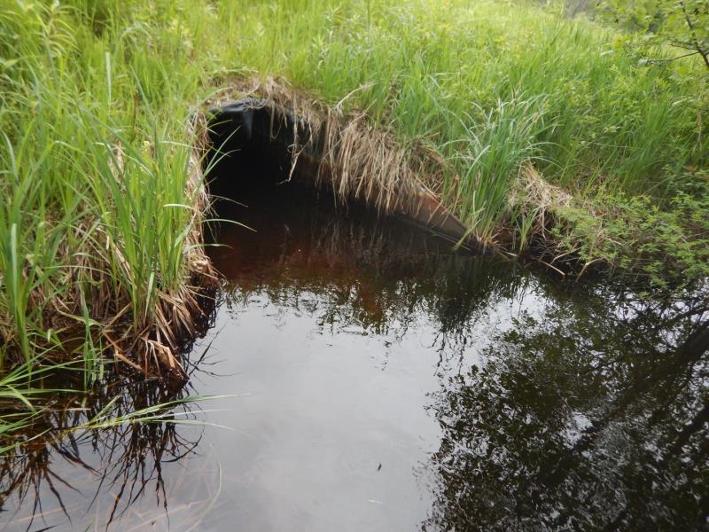
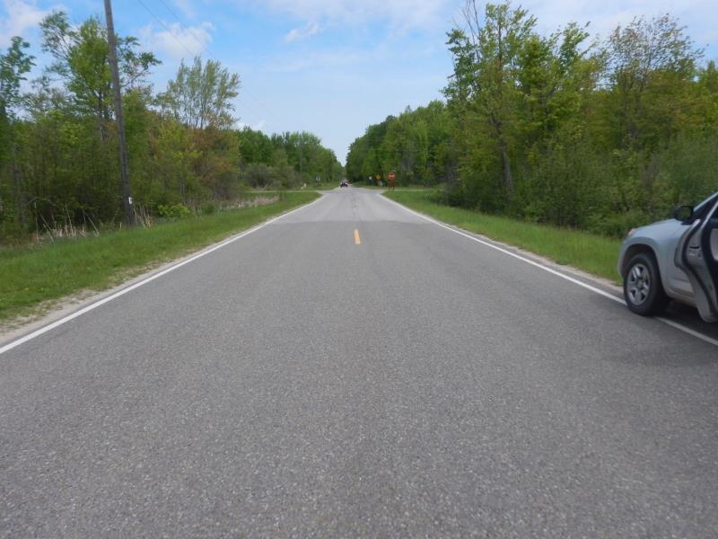
Outlet
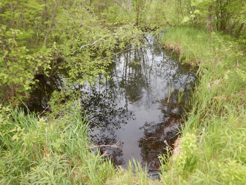
Upstream Conditions
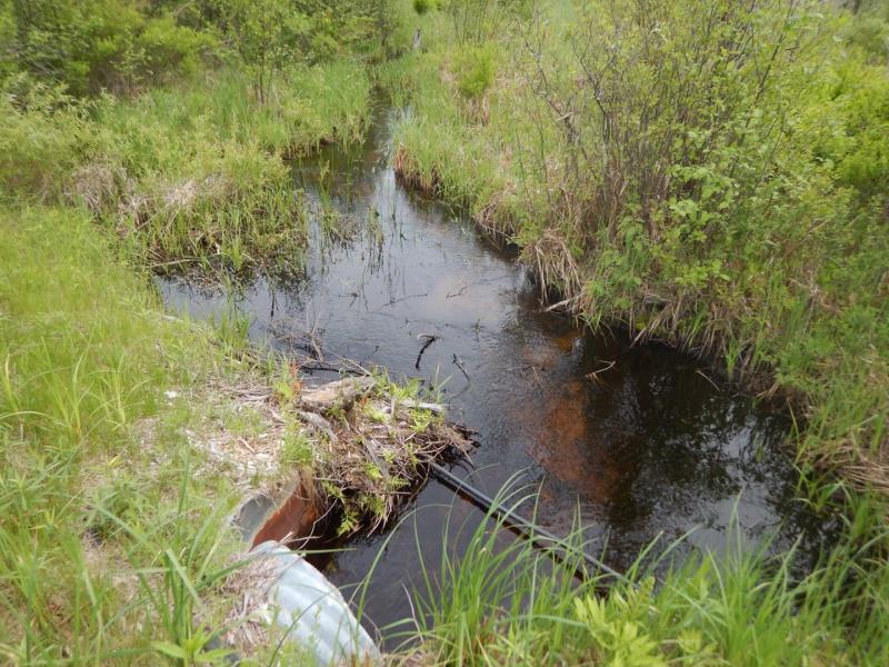
Downstream Conditions
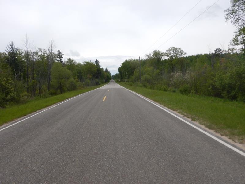
Road Approach - Left
Road Approach - Right
Crossing Information
Type of Crossing: culvert(s)
Number of Structures: 1
Structure Shape: Round
Inlet Type: Apron
Outlet Type: At Stream Grade
Structure Material: Metal
Structure Substrate: Sand
General Conditions: Good
Structure Interior: corrugated
Dimensions of Structure: Length 56.5 ft.
, Width 3 ft.
, Height 3 ft.
Structure Inlet
Water Depth: 0.8 ft.
Embedded Depth of Structure: 0 ft.
Water Velocity*: 1.8 ft./sec.
Structure Outlet
Water Depth: 1 ft.
Embedded Depth of Structure: 0 ft.
Water Velocity*: 1.2 ft./sec.
*Water Velocities were measured 0.7 ft. below Surface
(with Meter)
Stream Information
Stream Flow: More than Bankfull
Scour Pool: Length 30 ft.
, Width 22 ft.
, Depth 3 ft.
Riffle Information
Water Depth: 1 ft.
Bankfull Width: 6 ft.
Wetted Width: 9 ft.
Water Velocity: 0.6 ft./sec.
(Measured with Meter)
Dominant Substrate: Sand
Road Information
Paved
County Road
Road Condition: Good
Road Width at Culvert: 22 ft.
Location of Low Point: Other
Runoff Path: Ditch
Embankments
Upstream
Fill Depth: 3.5 ft.
Slope: More than 1:2
Downstream
Fill Depth: 3.5 ft.
Slope: More than 1:2
Approaches
Left Approach
Length: 500 ft.
Slope: 1% to 5%
Vegetation: Heavy
LS Factor: 0.5
Erosion: 0.1818 tons/year
Right Approach
Length: 200 ft.
Slope: 1% to 5%
Vegetation: Heavy
LS Factor: 0.43
Erosion: 0.0625 tons/year
Erosion Information
Total Erosion at Crossing: 0.2444 tons/year
Summary Information
Fish Passability 0.9
�