Road Stream Crossing Site LIN_CRA033
Lincoln River Watershed, North Branch Lincoln River
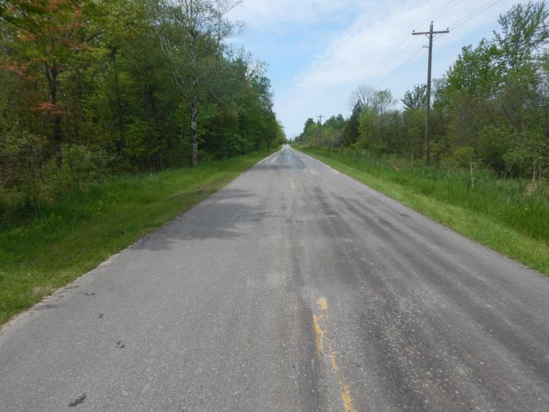
E Dewey Rd
Sheridan Twp,
Mason County
Information collected by:
Site Location
GPS Coordinates: 44.018425
, -86.125261
T19N
R15W
Sec 20
Owned by Private
Fish Passability 0.9
Total Erosion: 0.0375 tons/year
Severity: Minor
Year Inventoried: 2019
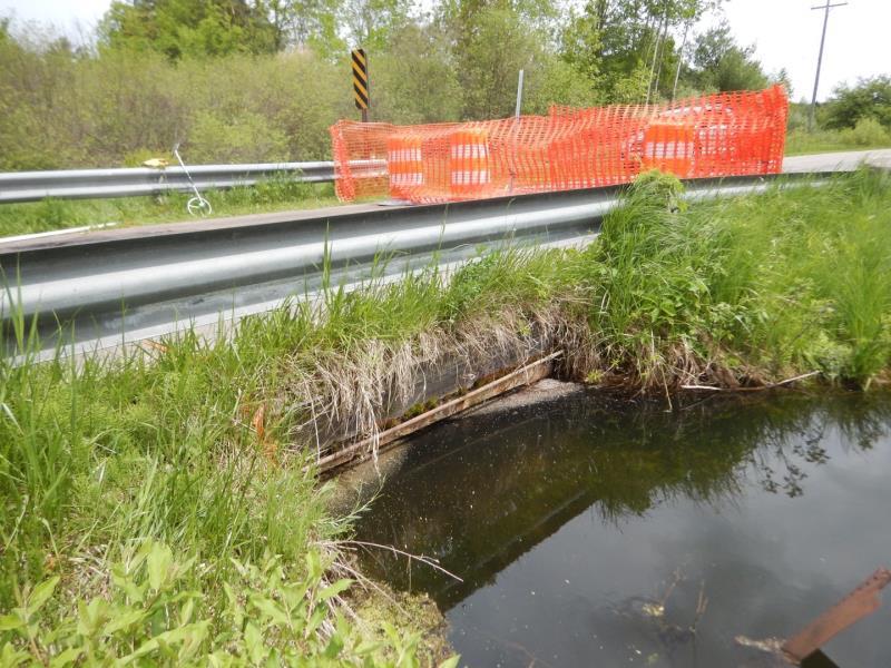
Inlet
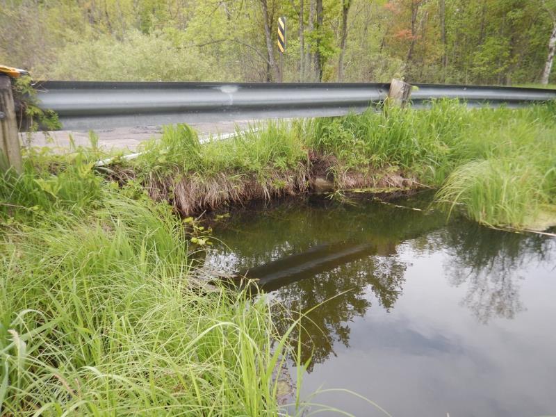
Outlet
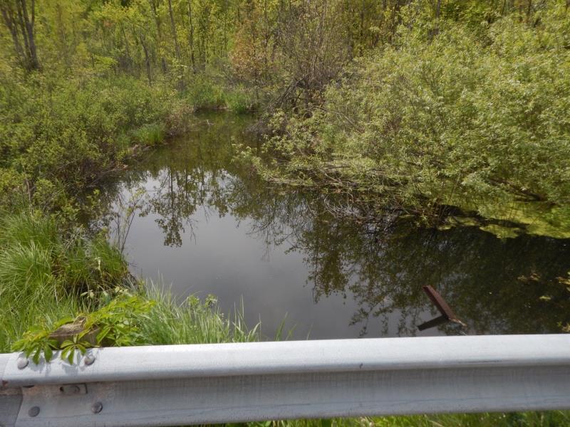
Upstream Conditions
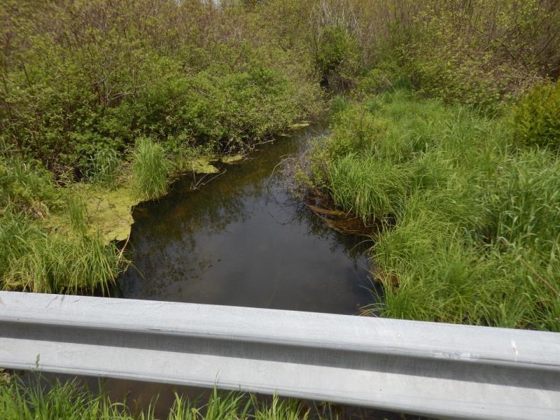
Downstream Conditions
Road Approach - Left
Road Approach - Right
Crossing Information
Type of Crossing: Bridge
Structure Shape: Open Bottom Square/Rectangle
Inlet Type: Wingwall 30-70 Degree
Outlet Type: At Stream Grade
Structure Material: Concrete
Structure Substrate: Gravel
General Conditions: Poor
Structure Interior: smooth
Dimensions of Structure: Length 21 ft.
, Width 5.5 ft.
, Height 2.8 ft.
Percentage Plugged:
In Pipe: 1% to 25%
Structure Inlet
Water Depth: 3 ft.
Embedded Depth of Structure: 0 ft.
Water Velocity*: 0.2 ft./sec.
Structure Outlet
Water Depth: 2.7 ft.
Embedded Depth of Structure: 0 ft.
Water Velocity*: 0.4 ft./sec.
*Water Velocities were measured 1 ft. below Surface
(with Meter)
Additional Comments
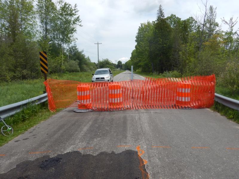
Road was closed due to a hole in the road
Stream Information
Stream Flow: More than Bankfull
, Depth 3 ft.
Riffle Information
Water Depth: 1.9 ft.
Bankfull Width: 20 ft.
Wetted Width: 30 ft.
Water Velocity: 0.7 ft./sec.
(Measured with Meter)
Dominant Substrate: Sand
Road Information
Paved
County Road
Road Condition: Poor
Road Width at Culvert: 18 ft.
Location of Low Point: Other
Runoff Path: Roadway
Embankments
Upstream
Fill Depth: 0.5 ft.
Slope: Vertical
Downstream
Fill Depth: 0.5 ft.
Slope: Vertical
Approaches
Left Approach
Length: 500 ft.
Slope: Less Than 1%
Vegetation: Heavy
LS Factor: 0.05
Erosion: 0.0149 tons/year
Right Approach
Length: 100 ft.
Slope: 1% to 5%
Vegetation: Heavy
LS Factor: 0.38
Erosion: 0.0226 tons/year
Erosion Information
Total Erosion at Crossing: 0.0375 tons/year
Extent of Erosion: Stabilized
Erosion is occurring and corrective actions can be installed to address the problem.
Summary Information
Fish Passability 0.9
Fish Passage is an area of concern for this site.
and erosion because there is a hole in the road and the structure is compromised
A future visit to this site is recommended. See above
�