Road Stream Crossing Site LIN_CRA035
Lincoln River Watershed, North Branch Lincoln River
N Stiles Rd
Victory Twp,
Mason County
Information collected by:
Site Location
GPS Coordinates: 44.027561
, -86.340281
T19N
R17W
Sec 21
Owned by Private
Fish Passability 0.9
Total Erosion: 0.4374 tons/year
Severity: Moderate
Year Inventoried: 2019
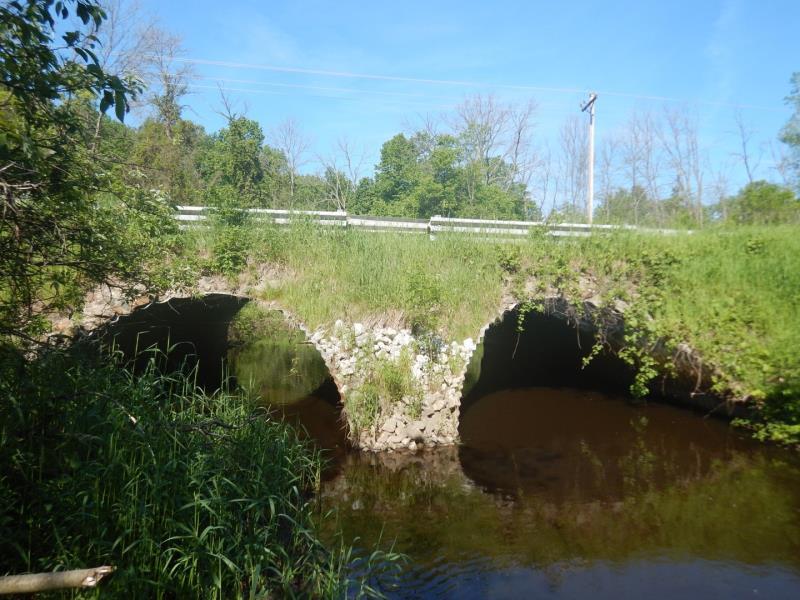
Inlet
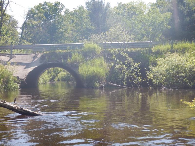
Outlet
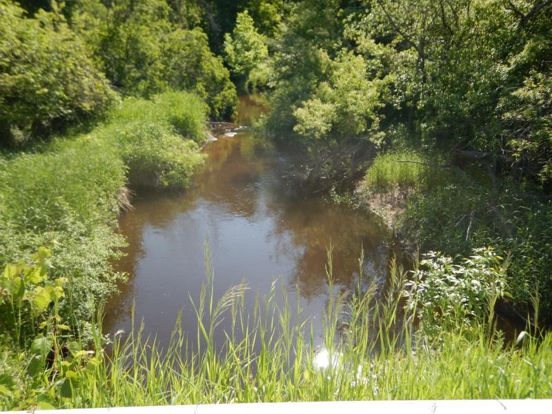
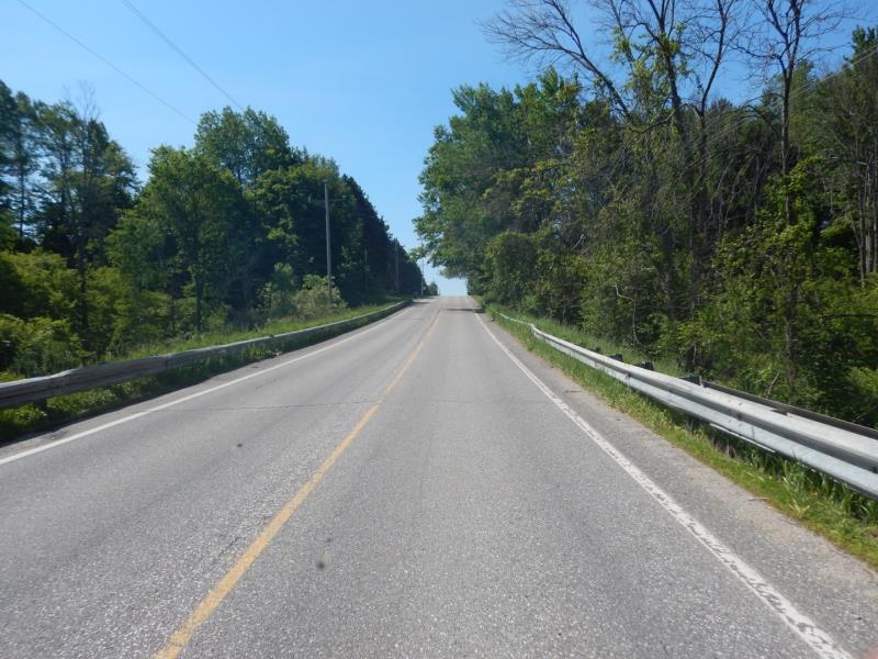
Upstream Conditions
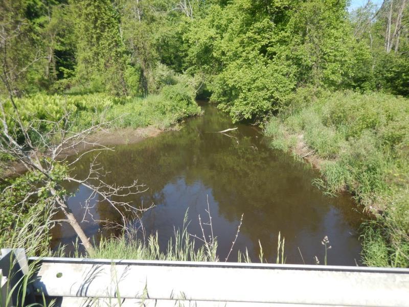
Downstream Conditions
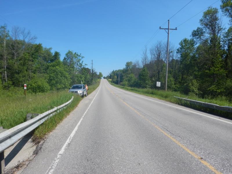
Road Approach - Left
Road Approach - Right
Crossing Information
Type of Crossing: culvert(s)
Number of Structures: 2
Structure Shape: Ellipse
Inlet Type: Mitered
Outlet Type: At Stream Grade
Structure Material: Metal
Structure Substrate: Mixture
General Conditions: Good
Multiple Culverts/Spans | ||||
Culvert/Span | Width | Length | Height | Material |
2 |
16 ft. |
38 ft. |
9.3 ft. |
Metal |
Structure Interior: corrugated
Dimensions of Structure: Length 38 ft.
, Width 16 ft.
, Height 9 ft.
Structure Inlet
Water Depth: 2.5 ft.
Embedded Depth of Structure: 0.4 ft.
Water Velocity*: 0.1 ft./sec.
Structure Outlet
Water Depth: 1.5 ft.
Embedded Depth of Structure: 1.4 ft.
Water Velocity*: 0.2 ft./sec.
*Water Velocities were measured 2.5 ft. below Surface
(with Meter)
Additional Comments
Water Depth, Embedded Depth, and Structure Velocity Recorded for Culvert #1
Stream Information
Stream Flow: Less than Bankfull
Scour Pool: Length 40 ft.
, Width 45 ft.
, Depth 5 ft.
Riffle Information
Water Depth: 1.8 ft.
Bankfull Width: 28 ft.
Wetted Width: 26 ft.
Water Velocity: 2 ft./sec.
(Measured with Meter)
Dominant Substrate: Gravel
Road Information
Paved
County Road
Road Condition: Good
Road Width at Culvert: 28 ft.
Location of Low Point: At Stream
Runoff Path: Ditch
Embankments
Upstream
Fill Depth: 5 ft.
Slope: Vertical
Downstream
Fill Depth: 5 ft.
Slope: 1:1
Approaches
Left Approach
Length: 450 ft.
Slope: 1% to 5%
Vegetation: Heavy
LS Factor: 0.49
Erosion: 0.2041 tons/year
Right Approach
Length: 500 ft.
Slope: 1% to 5%
Vegetation: Heavy
LS Factor: 0.5
Erosion: 0.2314 tons/year
Erosion Information
Total Erosion at Crossing: 0.4374 tons/year
Extent of Erosion: Minor
Location of Erosion | Erosion Dimensions | Eroded Material | Material Eroded | Total Erosion | ||
facing downstream | Length | Width | Depth | Reaching Stream? | (tons/year) | |
Right Downstream Embankment |
4 ft. |
2 ft. |
0.5 ft. |
yes |
Sandy Loam |
0.0019 |
Summary Information
Fish Passability 0.9
These non-native species were observerd at this site: Multiflora Rose
�