Road Stream Crossing Site LIN_CRA040
Lincoln River Watershed, North Branch Lincoln River
Decker Rd
Victory Twp,
Mason County
Information collected by:
Site Location
GPS Coordinates: 43.992442
, -86.409458
T19N
R17W
Sec 32
Owned by Private
Fish Passability 0.9
Total Erosion: 0.2544 tons/year
Severity: Moderate
Year Inventoried: 2019
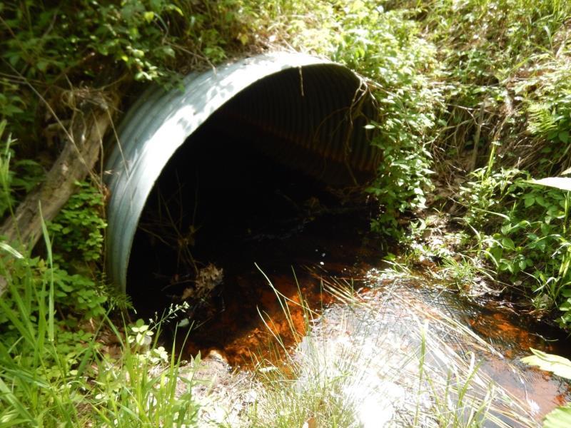
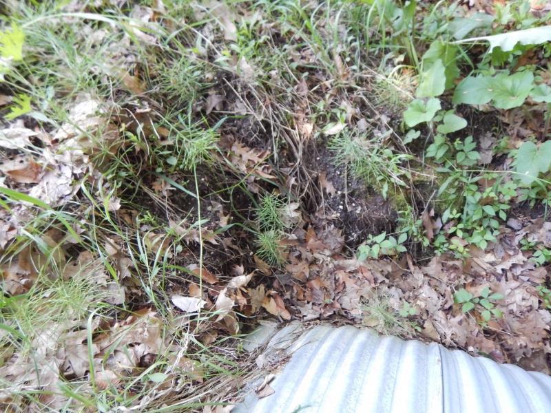
Inlet
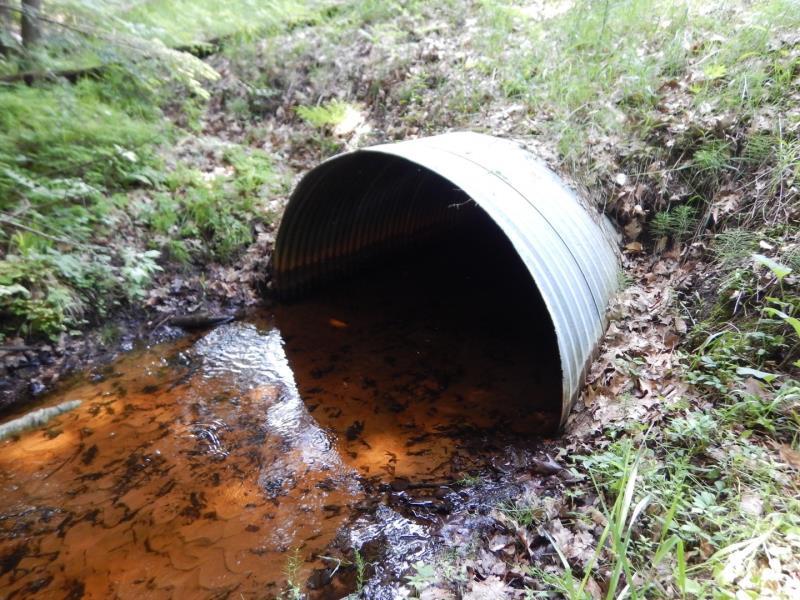
Outlet
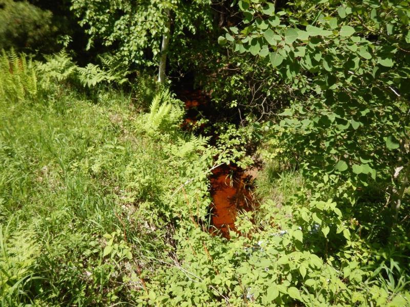
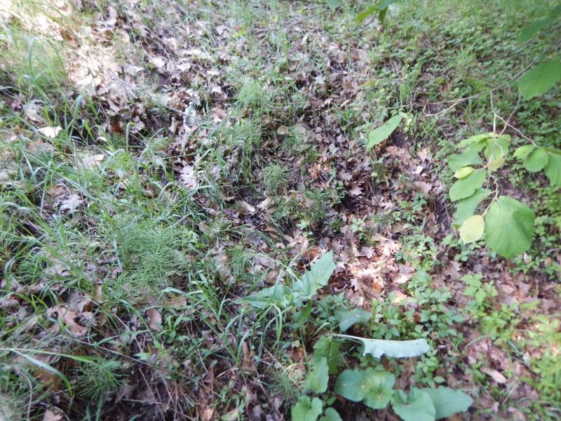
Upstream Conditions
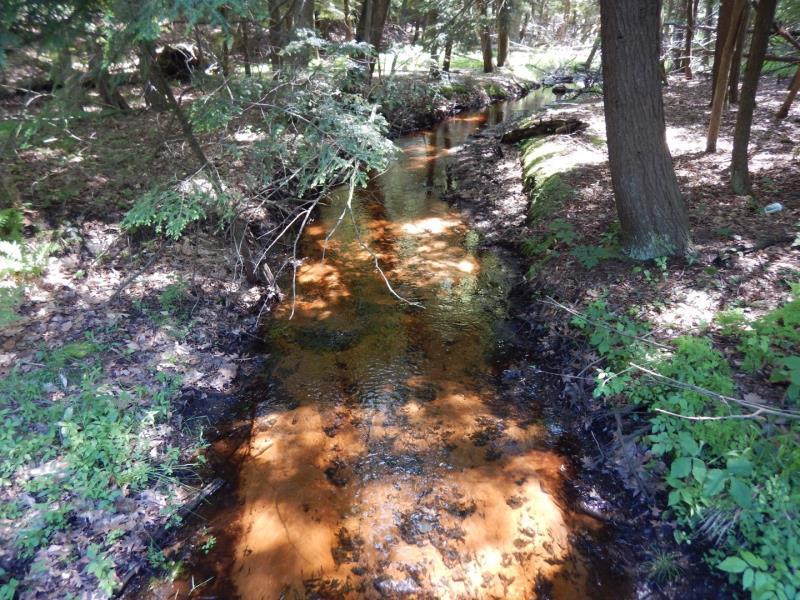
Downstream Conditions
Road Approach - Left
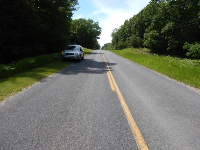
Road Approach - Right
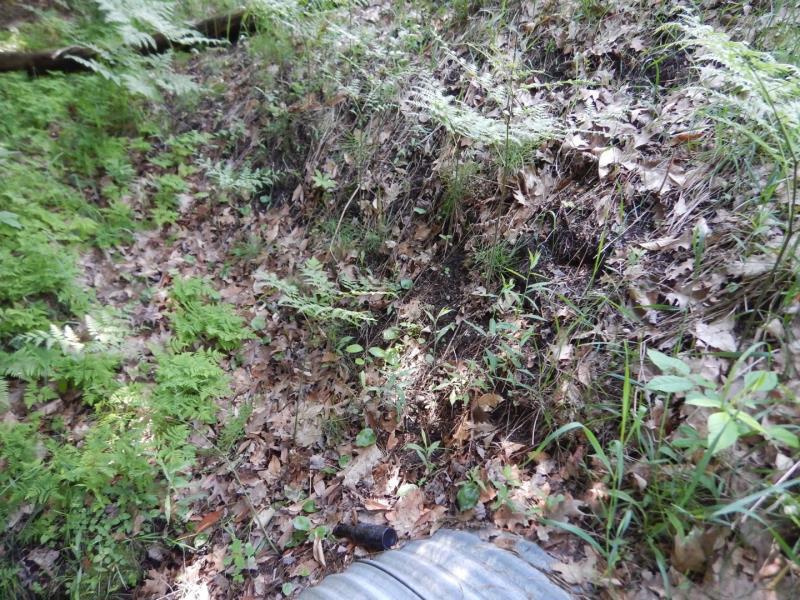
Erosion
Erosion
Crossing Information
Type of Crossing: culvert(s)
Number of Structures: 1
Structure Shape: Ellipse
Inlet Type: Projecting
Outlet Type: At Stream Grade
Structure Material: Metal
Structure Substrate: Sand
General Conditions: Good
Structure Interior: corrugated
Dimensions of Structure: Length 67 ft.
, Width 7 ft.
, Height 4.7 ft.
Structure Inlet
Water Depth: 0.6 ft.
Embedded Depth of Structure: 0.1 ft.
Water Velocity*: 1.2 ft./sec.
Structure Outlet
Water Depth: 0.2 ft.
Embedded Depth of Structure: 0.8 ft.
Water Velocity*: 0.8 ft./sec.
*Water Velocities were measured 0.2 ft. below Surface
(with Meter)
Additional Comments
Near Hemlock Golf Course
Stream Information
Stream Flow: Less than 1/2 Bankfull
Riffle Information
Water Depth: 0.2 ft.
Bankfull Width: 9.6 ft.
Wetted Width: 6.6 ft.
Water Velocity: 1 ft./sec.
(Measured with Meter)
Dominant Substrate: Sand
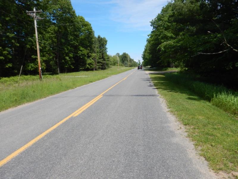
Road Information
Paved
County Road
Road Condition: Fair
Road Width at Culvert: 21 ft.
Location of Low Point: At Stream
Runoff Path: Ditch
Embankments
Upstream
Fill Depth: 11 ft.
Slope: 1:1.5
Downstream
Fill Depth: 7.5 ft.
Slope: 1:2
Approaches
Left Approach
Length: 500 ft.
Slope: 1% to 5%
Vegetation: Heavy
LS Factor: 0.5
Erosion: 0.1736 tons/year
Right Approach
Length: 200 ft.
Slope: 1% to 5%
Vegetation: Heavy
LS Factor: 0.43
Erosion: 0.0597 tons/year
Erosion Information
Total Erosion at Crossing: 0.2544 tons/year
Extent of Erosion: Minor
Notes: Erosion looks like it happens slowly; stabilized on upstream
Location of Erosion | Erosion Dimensions | Eroded Material | Material Eroded | Total Erosion | ||
facing downstream | Length | Width | Depth | Reaching Stream? | (tons/year) | |
Left Downstream Embankment |
2 ft. |
2 ft. |
2 ft. |
yes |
Sandy Loam |
0.0038 |
Left Upstream Embankment |
6 ft. |
4 ft. |
1 ft. |
yes |
Sandy Loam |
0.0058 |
Right Downstream Embankment |
4 ft. |
6 ft. |
1 ft. |
yes |
Sandy Loam |
0.0038 |
Right Upstream Embankment |
8 ft. |
3 ft. |
1 ft. |
yes |
Sandy Loam |
0.0077 |
Summary Information
Fish Passability 0.9
These non-native species were observerd at this site: Autumn Olive
�