Road Stream Crossing Site LIN_CRA041
Lincoln River Watershed, North Branch Lincoln River Tributary
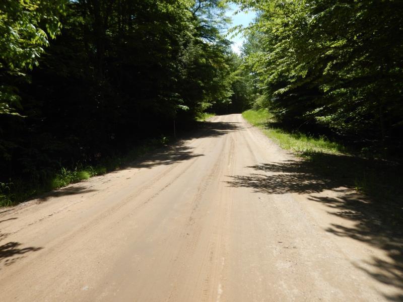
N Peterson Rd
Victory Twp,
Mason County
Information collected by:
Site Location
GPS Coordinates: 43.994006
, -86.388342
T19N
R17W
Sec 31
Owned by Private
Fish Passability 0.9
Structure is NOT Perched
Total Erosion: 2.882 tons/year
Severity: Severe
Year Inventoried: 2019
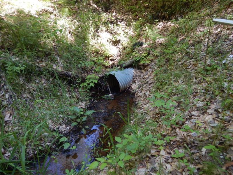
Inlet
Outlet
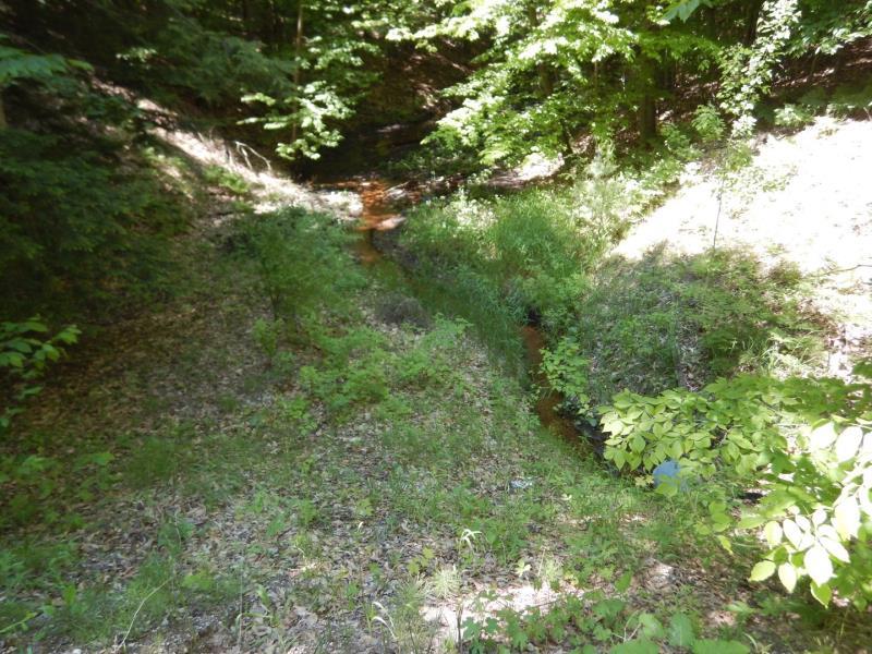
Upstream Conditions
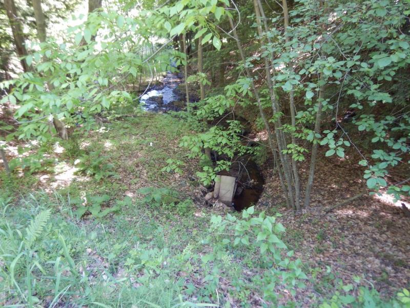
Downstream Conditions

Road Approach - Left
Road Approach - Right
Erosion
Erosion
Crossing Information
Type of Crossing: culvert(s)
Number of Structures: 1
Structure Shape: Round
Inlet Type: Projecting
Outlet Type: At Stream Grade
Structure Material: Metal
Structure Substrate: Sand
General Conditions: Good
Structure Interior: smooth
Dimensions of Structure: Length 70 ft.
, Width 2 ft.
, Height 2 ft.
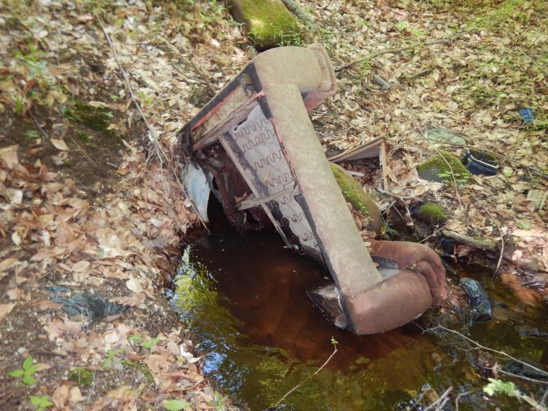
Percentage Plugged:
Inlet: 76% to 100%
Structure is NOT Perched
Structure Inlet
Water Depth: 0.3 ft.
Embedded Depth of Structure: 0 ft.
Water Velocity*: 0.5 ft./sec.
Structure Outlet
Water Depth: 0.3 ft.
Embedded Depth of Structure: 0.4 ft.
Water Velocity*: 0.6 ft./sec.
*Water Velocities were measured 0.1 ft. below Surface
(with Meter)
Additional Comments
Dump site
Stream Information
Stream Flow: Less than Bankfull
Riffle Information
Water Depth: 0.2 ft.
Bankfull Width: 9 ft.
Wetted Width: 3 ft.
Water Velocity: 0.8 ft./sec.
(Measured with Meter)
Dominant Substrate: Sand
Road Information
Gravel
County Road
Road Condition: Fair
Road Width at Culvert: 22 ft.
Location of Low Point: At Stream
Runoff Path: Roadway
Embankments
Upstream
Fill Depth: 16.5 ft.
Slope: Vertical
Downstream
Fill Depth: 17 ft.
Slope: Vertical
Approaches
Left Approach
Length: 300 ft.
Slope: 1% to 5%
Vegetation: Partial
LS Factor: 0.55
Erosion: 1 tons/year
Right Approach
Length: 300 ft.
Slope: 1% to 5%
Vegetation: Partial
LS Factor: 0.55
Erosion: 1 tons/year
Erosion Information
Total Erosion at Crossing: 2.882 tons/year
Extent of Erosion: Moderate
Notes: Road runoff is draining down embankments
Location of Erosion | Erosion Dimensions | Eroded Material | Material Eroded | Total Erosion | ||
facing downstream | Length | Width | Depth | Reaching Stream? | (tons/year) | |
Right Upstream Embankment |
30 ft. |
2 ft. |
1 ft. |
yes |
Gravel |
0.21 |
Left Upstream Embankment |
30 ft. |
2 ft. |
1 ft. |
yes |
Sand |
0.231 |
Right Downstream Streambank |
30 ft. |
2 ft. |
1 ft. |
yes |
Sand |
0.231 |
Left Downstream Streambank |
30 ft. |
2 ft. |
1 ft. |
yes |
Gravel |
0.21 |
Summary Information
Fish Passability 0.9
Erosion is an area of concern for this site.
Fish passage and erosion
A future visit to this site is recommended. Erosion and trash
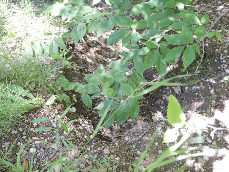
These non-native species were observerd at this site: Autumn Olive
�