Road Stream Crossing Site LIN_CRA042
Lincoln River Watershed, Lincoln River Tributary/ Drainage
S Stiles Rd
Amber Twp,
Mason County
Information collected by:
Site Location
GPS Coordinates: 43.95155
, -86.33963
T18N
R17W
Sec 15
Owned by Private
Total Erosion: 0 tons/year
Severity: Minor
Year Inventoried: 2019
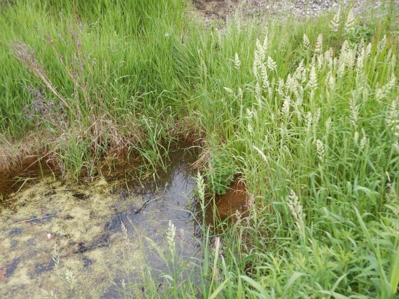
Inlet
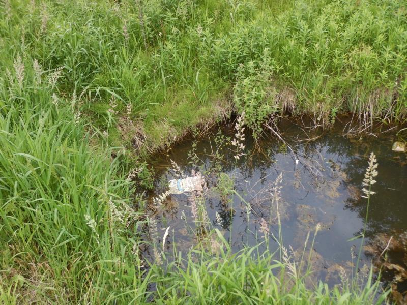
Outlet
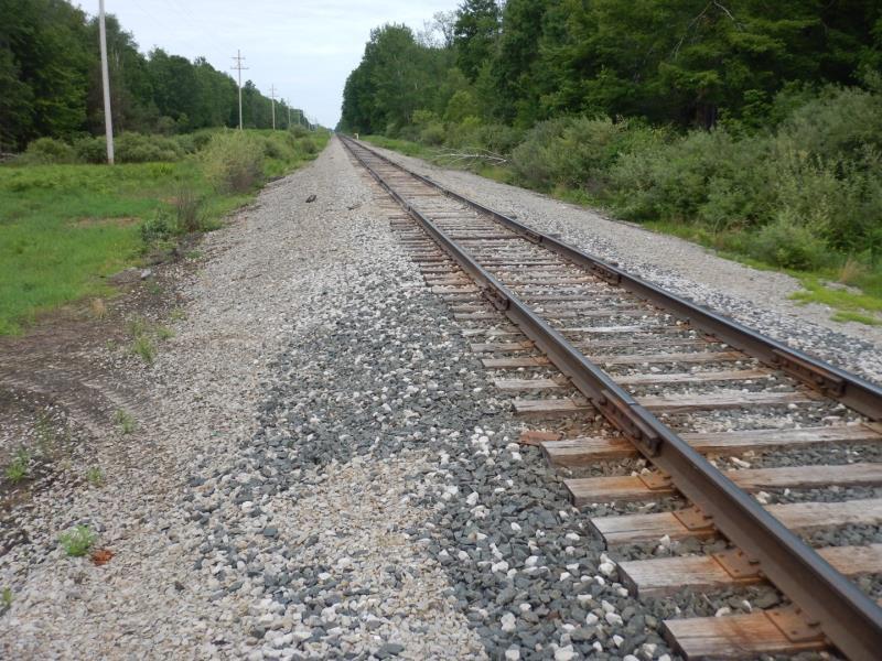
Road Approach - Left
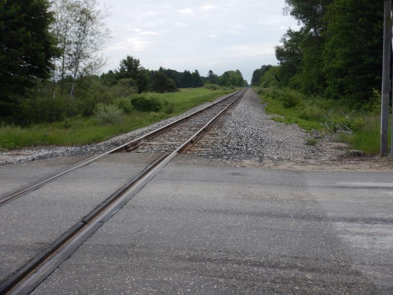
Road Approach - Right
Crossing Information
Additional Comments
railroad crossing; unable to access drainage for inlet or outlet
Stream Information
Stream Flow: Less than Bankfull
Riffle Information
Water Depth: 1 ft.
Bankfull Width: 9 ft.
Wetted Width: 6 ft.
Water Velocity: 0 ft./sec.
(Measured with Meter)
Dominant Substrate: Organics
Road Information
Gravel
Other Road
Road Condition: Good
Road Width at Culvert: 20 ft.
Location of Low Point: At Stream
Runoff Path: Roadway
Slope: 1:2
Slope: 1:2
Approaches
Left Approach
Length: 0 ft.
Slope: Less Than 1%
Vegetation: Heavy
LS Factor: 0.05
Erosion: 0 tons/year
Right Approach
Length: 0 ft.
Slope: Less Than 1%
Vegetation: Heavy
LS Factor: 0.05
Erosion: 0 tons/year
Erosion Information
Total Erosion at Crossing: 0 tons/year
Extent of Erosion: Minor
Summary Information
Fish Passage is an area of concern for this site.
A future visit to this site is recommended. check if a culvert is deemed necessary
These non-native species were observerd at this site: Autumn Olive
�