Road Stream Crossing Site LIN_CRA047
Lincoln River Watershed, Lincoln River Tributary
Rasmussen Rd
Pere Marquette Twp,
Mason County
Information collected by:
Site Location
GPS Coordinates: 43.974232
, -86.409092
T18N
R18W
Sec 12
Owned by Private
Total Erosion: 0.4132 tons/year
Severity: Minor
Year Inventoried: 2019
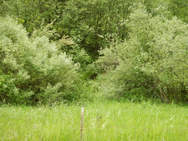
Upstream Conditions
Downstream Conditions
Road Approach - Left
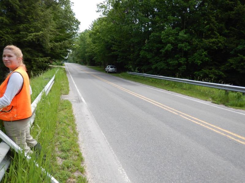
Road Approach - Right
Crossing Information
Type of Crossing: culvert(s)
Number of Structures: 1
Outlet Type: At Stream Grade
Structure Substrate: Sand
Dimensions of Structure: Length 85 ft.
Additional Comments
Unable to Reach Inlet and Outlet for data collection; Private Property was fenced off.
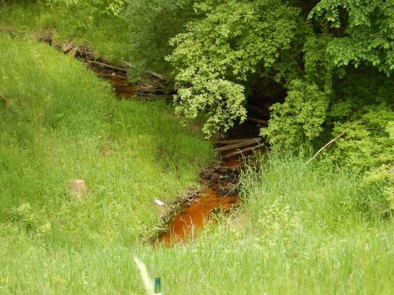
Stream Information
Stream Flow: Less than 1/2 Bankfull
Riffle Information
Water Depth: 0.4 ft.
Bankfull Width: 7 ft.
Wetted Width: 3 ft.
Dominant Substrate: Sand
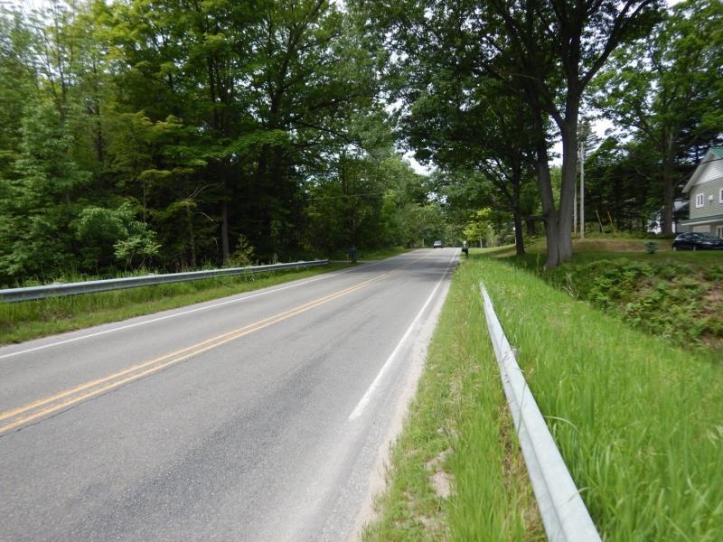
Road Information
Paved
County Road
Road Condition: Good
Road Width at Culvert: 25 ft.
Location of Low Point: At Stream
Runoff Path: Roadway
Embankments
Upstream
Fill Depth: 23 ft.
Slope: 1:2
Downstream
Fill Depth: 23 ft.
Slope: 1:2
Approaches
Left Approach
Length: 500 ft.
Slope: 1% to 5%
Vegetation: Heavy
LS Factor: 0.5
Erosion: 0.2066 tons/year
Right Approach
Length: 500 ft.
Slope: 1% to 5%
Vegetation: Heavy
LS Factor: 0.5
Erosion: 0.2066 tons/year
Erosion Information
Total Erosion at Crossing: 0.4132 tons/year
Summary Information
These non-native species were observerd at this site: Autumn Olive
�