Road Stream Crossing Site LIN_CRA049
Lincoln River Watershed, Lincoln River
N Jebavy Rd
Pere Marquette Twp,
Mason County
Information collected by:
Site Location
GPS Coordinates: 43.982042
, -86.41886
T18N
R18W
Sec 1
Owned by Local Government
Total Erosion: 0.562 tons/year
Severity: Minor
Year Inventoried: 2019
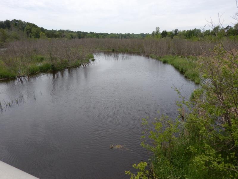
Upstream Conditions
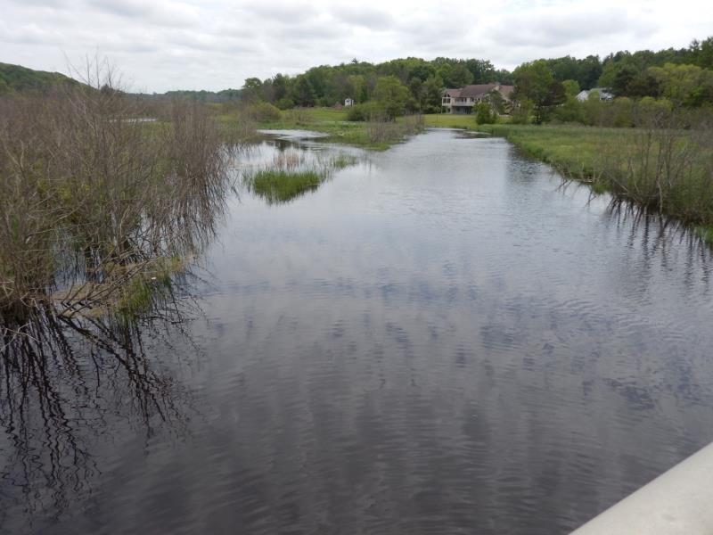
Downstream Conditions
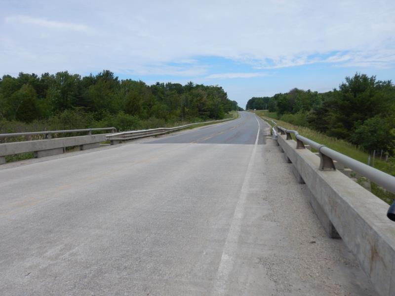
Road Approach - Left
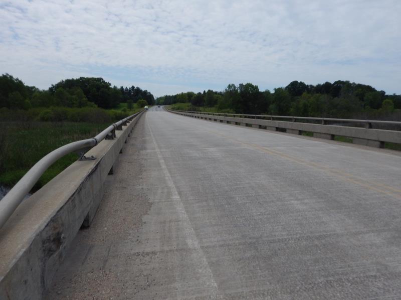
Road Approach - Right
Crossing Information
Type of Crossing: Bridge
Number of Structures: 6
Structure Shape: Open Bottom Square/Rectangle
Inlet Type: Other
Outlet Type: At Stream Grade
Structure Material: Concrete
Structure Substrate: Mixture
General Conditions: Good
Multiple Culverts/Spans | ||||
Culvert/Span | Width | Length | Height | Material |
1 |
34 ft. |
80 ft. |
Concrete |
|
3 |
34 ft. |
80 ft. |
Concrete |
|
6 |
34 ft. |
80 ft. |
Concrete |
|
Structure Interior: smooth
Dimensions of Structure: Length 480 ft.
, Width 34 ft.
Additional Comments
there were six spans of the bridge overt the deep and unmeasurable free flowing river
Stream Information
Stream Flow: Less than Bankfull
Road Information
Paved
County Road
Road Condition: Good
Road Width at Culvert: 34 ft.
Location of Low Point: At Stream
Runoff Path: Roadway
Fill Depth: 0 ft.
Slope: Vertical
Fill Depth: 0 ft.
Slope: Vertical
Approaches
Left Approach
Length: 500 ft.
Slope: 1% to 5%
Vegetation: Heavy
LS Factor: 0.5
Erosion: 0.281 tons/year
Right Approach
Length: 500 ft.
Slope: 1% to 5%
Vegetation: Heavy
LS Factor: 0.5
Erosion: 0.281 tons/year
Erosion Information
Total Erosion at Crossing: 0.562 tons/year
Summary Information
These non-native species were observerd at this site: Autumn Olive and Phragmites
�