Road Stream Crossing Site LIN_CRA051
Lincoln River Watershed, Lincoln River Tributary
Dennis Rd
Amber Twp,
Mason County
Information collected by:
Site Location
GPS Coordinates: 43.978979
, -86.370868
T18N
R17W
Sec 5
Owned by Private
Fish Passability 0.9
Total Erosion: 0.4901 tons/year
Severity: Minor
Year Inventoried: 2019
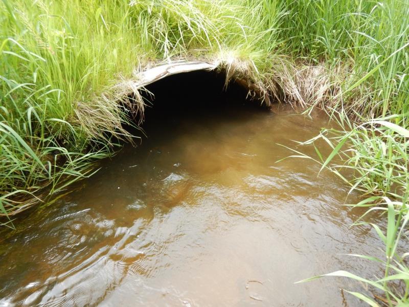
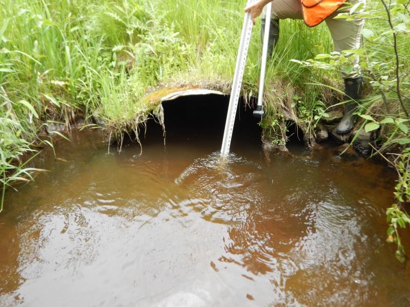
Inlet
Outlet
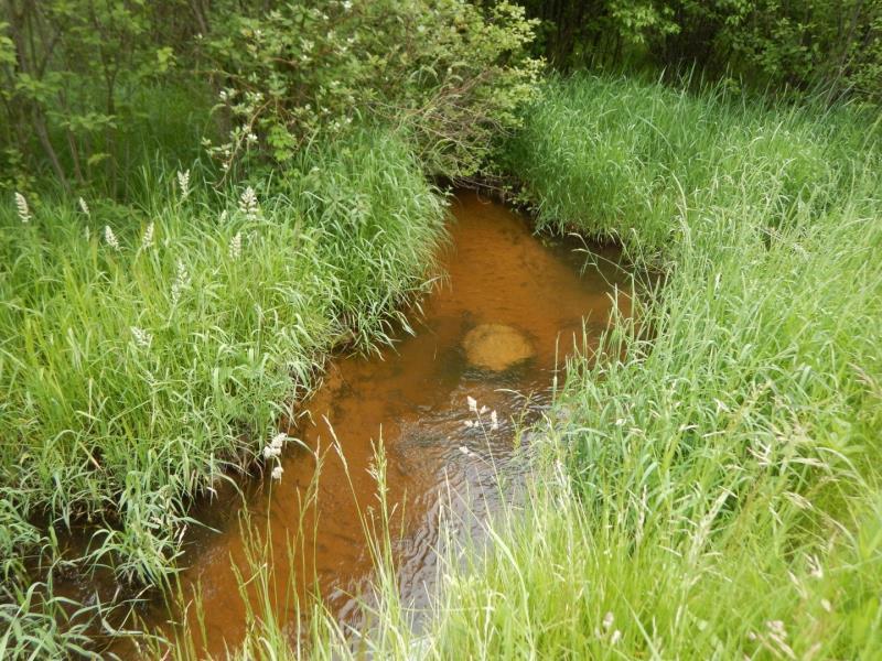
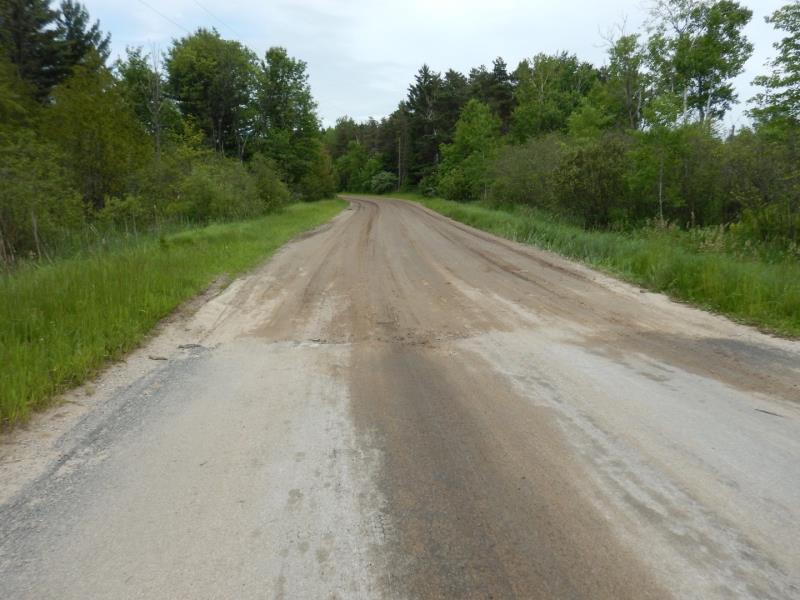
Upstream Conditions
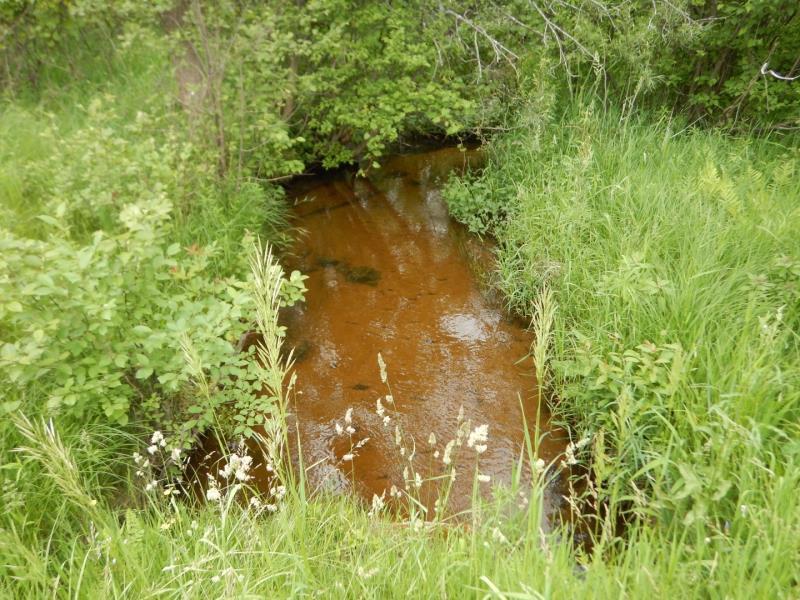
Downstream Conditions
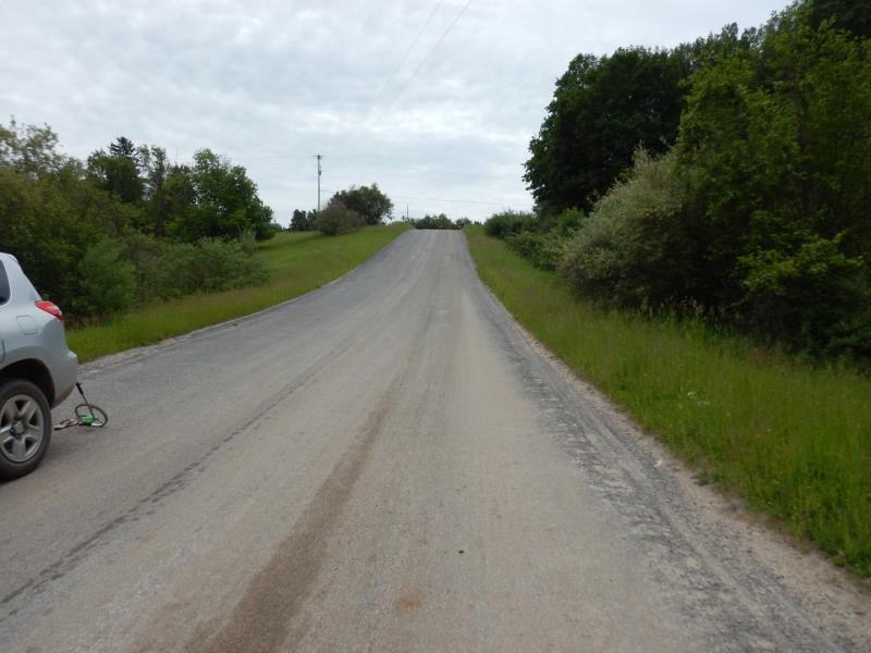
Road Approach - Left
Road Approach - Right
Crossing Information
Type of Crossing: culvert(s)
Number of Structures: 1
Structure Shape: Ellipse
Inlet Type: Projecting
Outlet Type: At Stream Grade
Structure Material: Metal
Structure Substrate: Sand
General Conditions: Good
Structure Interior: corrugated
Dimensions of Structure: Length 35 ft.
, Width 5.6 ft.
, Height 2 ft.
Structure Inlet
Water Depth: 1.8 ft.
Embedded Depth of Structure: 0.4 ft.
Water Velocity*: 1.3 ft./sec.
Structure Outlet
Water Depth: 1.2 ft.
Embedded Depth of Structure: 0.7 ft.
Water Velocity*: 1.2 ft./sec.
*Water Velocities were measured 1 ft. below Surface
(with Meter)
Stream Information
Stream Flow: Less than Bankfull
Riffle Information
Water Depth: 1.1 ft.
Bankfull Width: 10 ft.
Wetted Width: 8 ft.
Water Velocity: 1.3 ft./sec.
(Measured with Meter)
Dominant Substrate: Sand
Road Information
Paved
County Road
Road Condition: Good
Road Width at Culvert: 22 ft.
Location of Low Point: At Stream
Runoff Path: Ditch
Embankments
Upstream
Fill Depth: 3 ft.
Slope: 1:1.5
Downstream
Fill Depth: 3 ft.
Slope: 1:1.5
Approaches
Left Approach
Length: 430 ft.
Slope: 6% to 10%
Vegetation: Heavy
LS Factor: 1.562
Erosion: 0.4883 tons/year
Right Approach
Length: 50 ft.
Slope: Less Than 1%
Vegetation: Heavy
LS Factor: 0.05
Erosion: 0.0018 tons/year
Erosion Information
Total Erosion at Crossing: 0.4901 tons/year
Extent of Erosion: Stabilized
Notes: paved steeped road and sand road meet almost before/after culvert
Summary Information
Fish Passability 0.9
These non-native species were observerd at this site: Autumn Olive
�