Road Stream Crossing Site LIN_CRA053
Lincoln River Watershed, Lincoln River Tributary
W Hansen Rd
Amber Twp,
Mason County
Information collected by:
Site Location
GPS Coordinates: 43.9777
, -86.3637
T18N
R17W
Sec 8
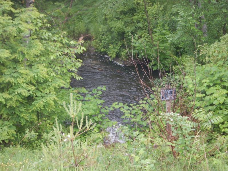
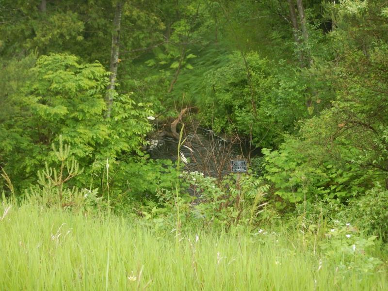
Owned by Private
Perch Height: 2 ft.
Total Erosion: 0.3591 tons/year
Severity: Minor
Year Inventoried: 2019
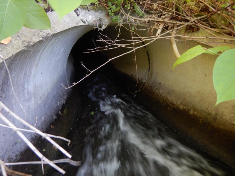
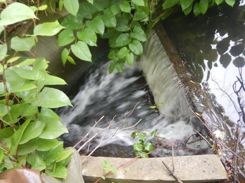
Inlet
Outlet
Upstream Conditions
Downstream Conditions
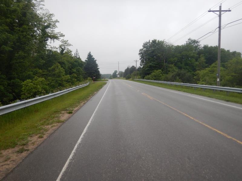
Road Approach - Left
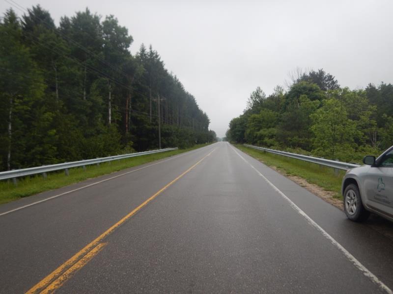
Road Approach - Right
Other
Crossing Information
Type of Crossing: culvert(s)
Number of Structures: 1
Structure Shape: Round
Inlet Type: Apron
Outlet Type: Outlet Apron
Structure Material: Concrete
Structure Substrate: None
General Conditions: Good
Structure Interior: smooth
Dimensions of Structure: Length 100 ft.
, Width 4 ft.
, Height 4 ft.
Perch Height: 2 ft.
Structure Inlet
Water Depth: 0.3 ft.
Embedded Depth of Structure: 0 ft.
Water Velocity*: 4.3 ft./sec.
Structure Outlet
Water Depth: 0.2 ft.
Embedded Depth of Structure: 0 ft.
Water Velocity*: 5 ft./sec.
*Water Velocities were measured 0.1 ft. below Surface
(with Meter)
Additional Comments
Dam structure built at inlet. Outlet surrounded by private property. Scour pool and mid sized ( ~1.6 acres) upstream pond. See photos. Could not take all dimensions. Possible thermal pollution from ponding upstream from inlet.
Stream Information
Stream Flow: More than Bankfull
Scour Pool: Length 20 ft.
, Width 20 ft.
, Depth 4 ft.
Upstream Pond: Length 500 ft.
, Width 100 ft.
, Depth 6 ft.
Water Velocity: 1 ft./sec.
Dominant Substrate: Cobble
Road Information
Paved
County Road
Road Condition: Good
Road Width at Culvert: 28 ft.
Location of Low Point: At Stream
Runoff Path: Ditch
Embankments
Upstream
Fill Depth: 30 ft.
Slope: 1:1
Downstream
Fill Depth: 30 ft.
Slope: 1:1
Approaches
Left Approach
Length: 300 ft.
Slope: 1% to 5%
Vegetation: Heavy
LS Factor: 0.46
Erosion: 0.1277 tons/year
Right Approach
Length: 500 ft.
Slope: 1% to 5%
Vegetation: Heavy
LS Factor: 0.5
Erosion: 0.2314 tons/year
Erosion Information
Total Erosion at Crossing: 0.3591 tons/year
Summary Information
Fish Passage is an area of concern for this site.
Inlet damming creating large pond and restricting flow into structure to a shallow (.1ft) and fast moving current (> 4 ft/sec). Dam is also creating freefalling water of roughly 2ft.
A future visit to this site is recommended. Evaluate fish passage issue.
These non-native species were observerd at this site: Japanese Knotweed
�