Road Stream Crossing Site LIN_CRA057
Lincoln River Watershed, North Branch Lincoln River Tributary
US-31
Sherman Twp,
Mason County
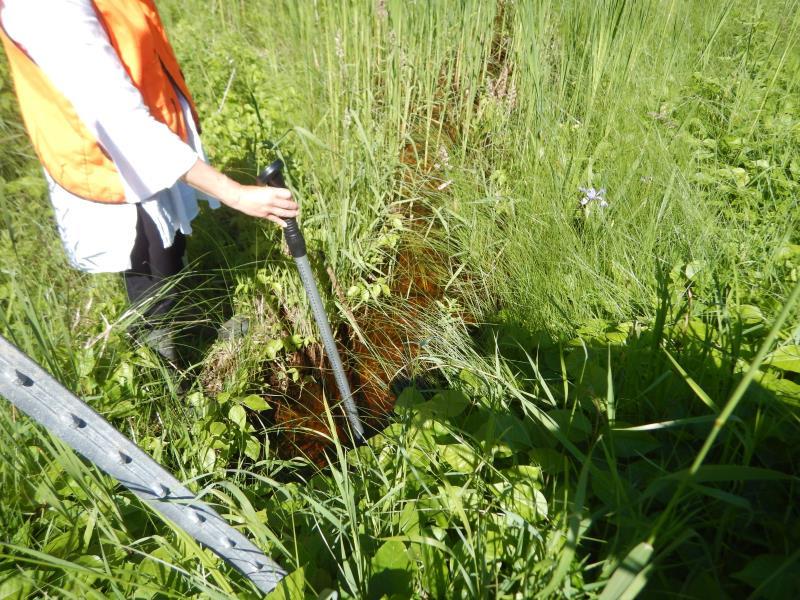
Information collected by:
Site Location
GPS Coordinates: 44.037334
, -86.280213
T19N
R16W
Sec 18
Owned by Federal
Fish Passability 0.9
Total Erosion: 0.0491 tons/year
Severity: Moderate
Year Inventoried: 2019
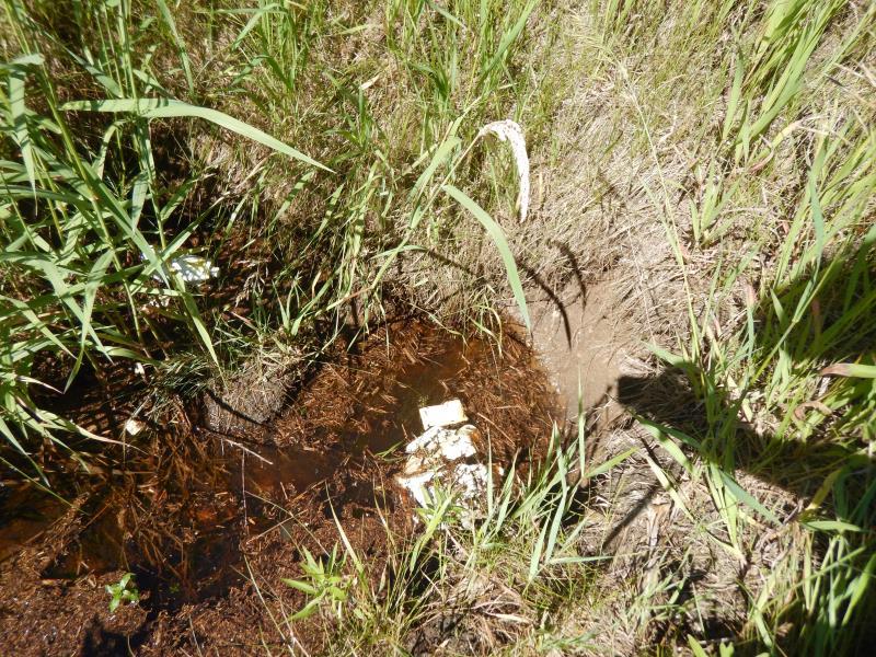
Inlet
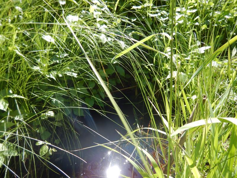
Outlet
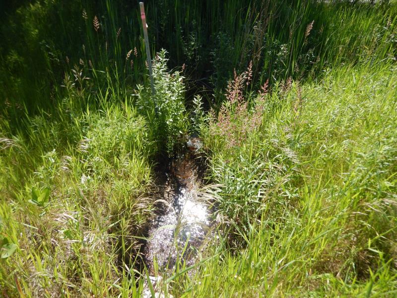
Upstream Conditions
Downstream Conditions
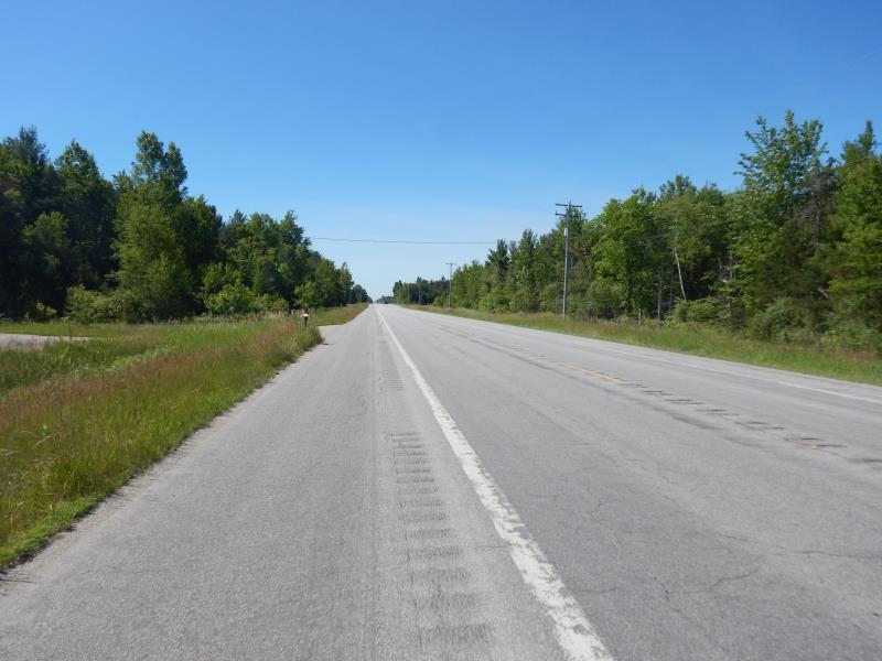
Road Approach - Left
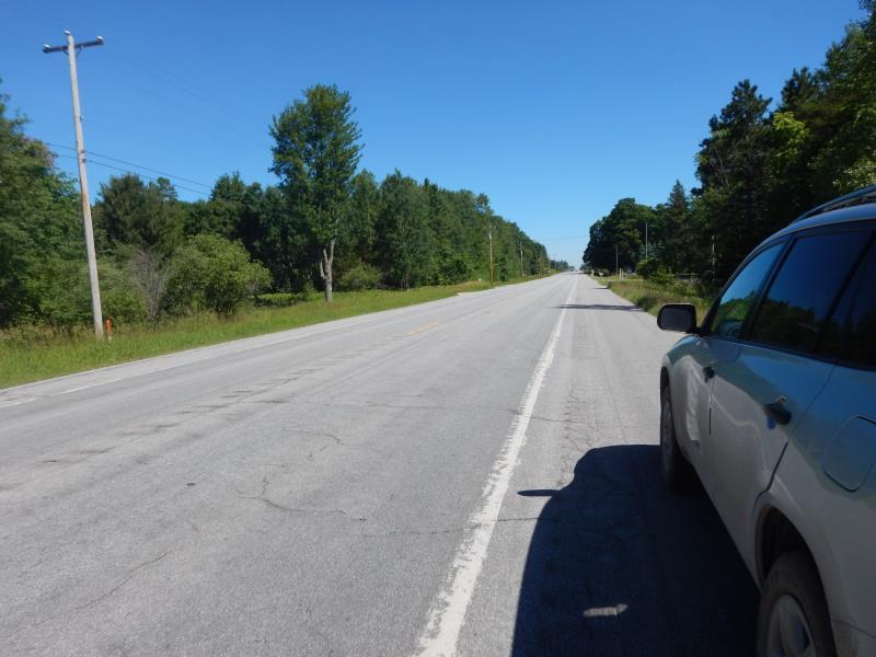
Road Approach - Right
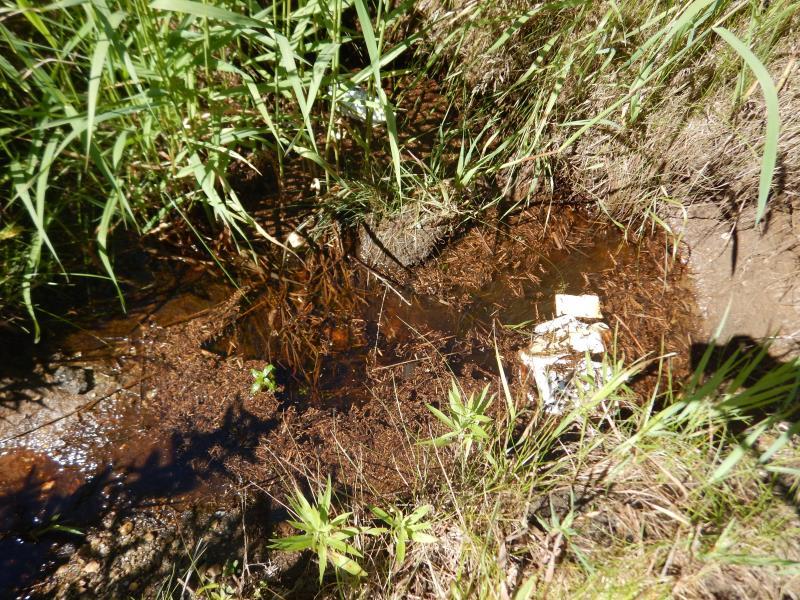
Erosion
Crossing Information
Type of Crossing: culvert(s)
Number of Structures: 1
Structure Shape: Round
Inlet Type: Projecting
Outlet Type: At Stream Grade
Structure Material: Metal
Structure Substrate: Mixture
General Conditions: Poor
Structure Interior: corrugated
Structure is Rusted through
Dimensions of Structure: Length 75 ft.
, Width 1 ft.
, Height 1 ft.
Percentage Plugged:
Inlet: 26% to 50%
Percentage Crushed:
Inlet: 26% to 50%
Structure Inlet
Water Depth: 1 ft.
Embedded Depth of Structure: 0.6 ft.
Water Velocity*: 0.1 ft./sec.
Structure Outlet
Water Depth: 1 ft.
Embedded Depth of Structure: 0.2 ft.
Water Velocity*: 0.1 ft./sec.
*Water Velocities were measured 0.5 ft. below Surface
(with Meter)
Stream Information
Stream Flow: Less than Bankfull
Riffle Information
Water Depth: 0.4 ft.
Bankfull Width: 4 ft.
Wetted Width: 2 ft.
Water Velocity: 0.9 ft./sec.
(Measured with Meter)
Dominant Substrate: Gravel
Road Information
Paved
Federal Road
Road Condition: Good
Road Width at Culvert: 43 ft.
Location of Low Point: At Stream
Runoff Path: Ditch
Embankments
Upstream
Fill Depth: 2 ft.
Slope: More than 1:2
Downstream
Fill Depth: 2 ft.
Slope: More than 1:2
Approaches
Left Approach
Length: 50 ft.
Slope: Less Than 1%
Vegetation: Heavy
LS Factor: 0.05
Erosion: 0.0036 tons/year
Right Approach
Length: 50 ft.
Slope: Less Than 1%
Vegetation: Heavy
LS Factor: 0.05
Erosion: 0.0036 tons/year
Erosion Information
Total Erosion at Crossing: 0.0491 tons/year
Extent of Erosion: Moderate
Notes: Erosion and state of inlet causing flow constraints.
Location of Erosion | Erosion Dimensions | Eroded Material | Material Eroded | Total Erosion | ||
facing downstream | Length | Width | Depth | Reaching Stream? | (tons/year) | |
Right Upstream Embankment |
3 ft. |
4 ft. |
2 ft. |
yes |
Gravelly Loam |
0.042 |
Summary Information
Fish Passability 0.9
Erosion is an area of concern for this site.
Erosion and state of inlet causing flow constraints.
A future visit to this site is recommended. Culvert Condition
These non-native species were observerd at this site: Autumn Olive, Reed Canary Grass
�