Road Stream Crossing Site LIN_CRA063
Lincoln River Watershed, North Branch Lincoln River
Cleveland Rd
Sherman Twp,
Mason County
Information collected by:
Site Location
GPS Coordinates: 44.044051
, -86.180877
T19N
R16W
Sec 14
Fish Passability 0.9
Total Erosion: 0.2471 tons/year
Severity: Minor
Year Inventoried: 2019
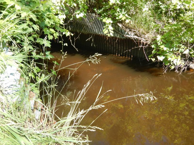
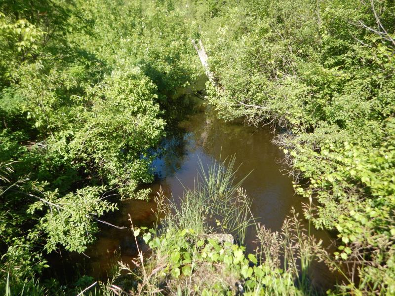
Inlet
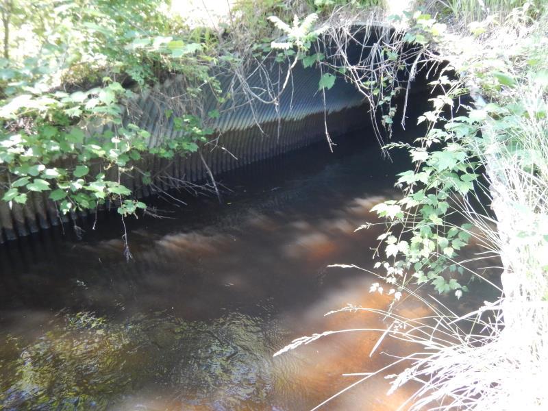
Inlet
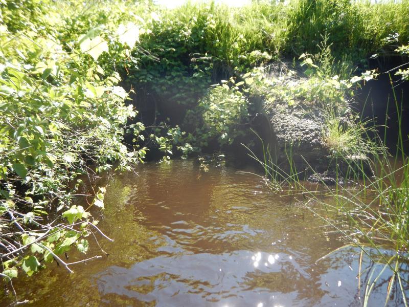
Outlet
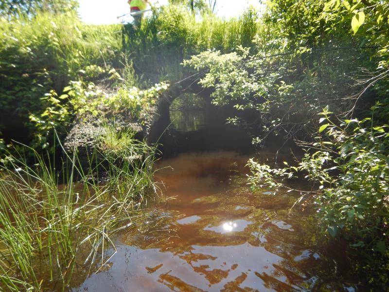
Outlet
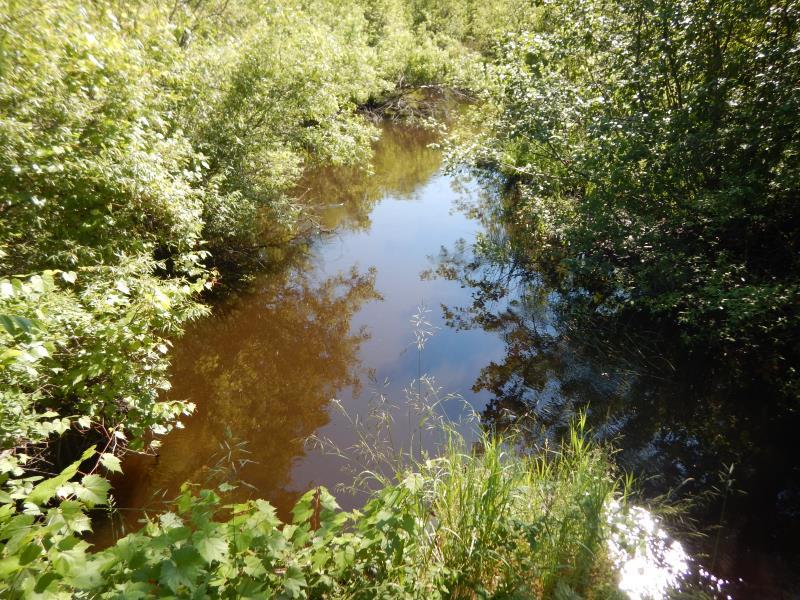
Upstream Conditions
Downstream Conditions
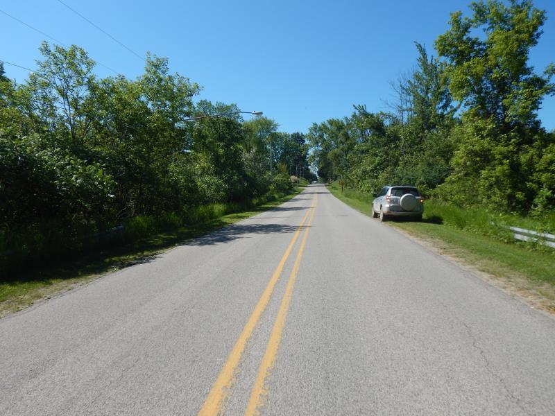
Road Approach - Left
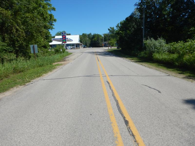
Road Approach - Right
Crossing Information
Type of Crossing: culvert(s)
Number of Structures: 2
Structure Shape: Pipe Arch
Inlet Type: Mitered
Outlet Type: At Stream Grade
Structure Material: Metal
Structure Substrate: Sand
General Conditions: Fair
Multiple Culverts/Spans | ||||
Culvert/Span | Width | Length | Height | Material |
2 |
10 ft. |
65 ft. |
6.4 ft. |
Metal |
Structure Interior: corrugated
Dimensions of Structure: Length 10 ft.
, Width 65 ft.
, Height 6.4 ft.
Structure Inlet
Water Depth: 1.5 ft.
Embedded Depth of Structure: 0.3 ft.
Water Velocity*: 0.7 ft./sec.
Structure Outlet
Water Depth: 1.6 ft.
Embedded Depth of Structure: 0.1 ft.
Water Velocity*: 1.1 ft./sec.
*Water Velocities were measured 1 ft. below Surface
(with Meter)
Additional Comments
Measurements from culvert 1
Stream Information
Stream Flow: Less than Bankfull
Riffle Information
Water Depth: 2.4 ft.
Bankfull Width: 29 ft.
Wetted Width: 25 ft.
Water Velocity: 1.2 ft./sec.
(Measured with Meter)
Dominant Substrate: Sand
Road Information
Paved
County Road
Road Condition: Fair
Road Width at Culvert: 23 ft.
Location of Low Point: Other
Runoff Path: Ditch
Embankments
Upstream
Fill Depth: 2 ft.
Slope: 1:1
Downstream
Fill Depth: 2 ft.
Slope: 1:1
Approaches
Left Approach
Length: 100 ft.
Slope: Less Than 1%
Vegetation: Heavy
LS Factor: 0.05
Erosion: 0.0038 tons/year
Right Approach
Length: 500 ft.
Slope: 1% to 5%
Vegetation: Partial
LS Factor: 0.64
Erosion: 0.2433 tons/year
Erosion Information
Total Erosion at Crossing: 0.2471 tons/year
Summary Information
Fish Passability 0.9
These non-native species were observerd at this site: Autumn Olive
�