Road Stream Crossing Site LIN_CRA064
Lincoln River Watershed, North Branch Lincoln River Tributary
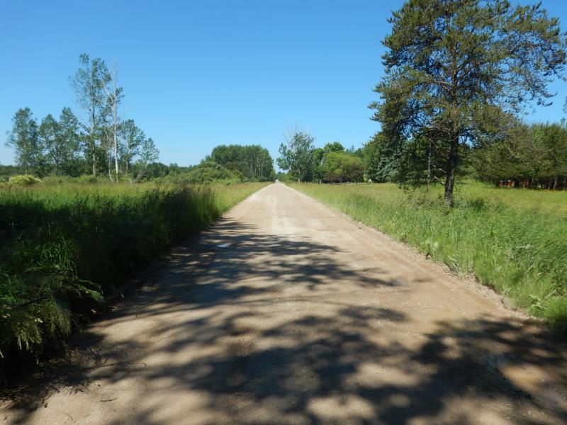
Millerton Rd
Sherman Twp,
Mason County
Information collected by:
Site Location
GPS Coordinates: 44.033868
, -86.198403
T19N
R16W
Sec 14
Owned by Private
Fish Passability 0.9
Total Erosion: 0.3559 tons/year
Severity: Minor
Year Inventoried: 2019
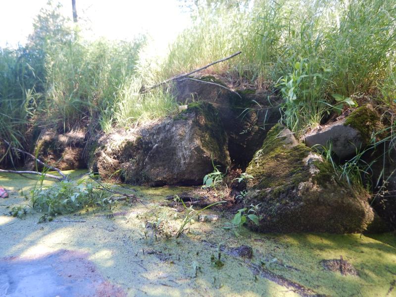
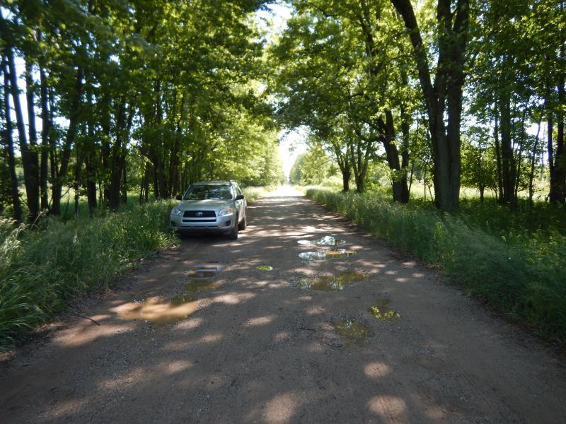
Inlet
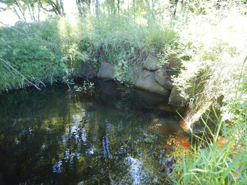
Outlet
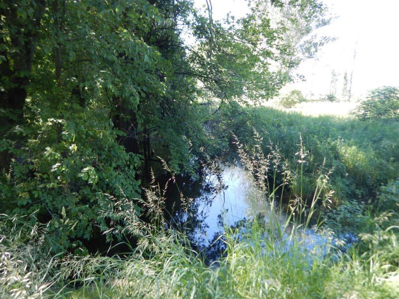
Upstream Conditions
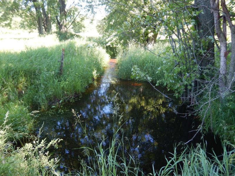
Downstream Conditions
Road Approach - Left
Road Approach - Right
Crossing Information
Type of Crossing: culvert(s)
Number of Structures: 1
Structure Shape: Ellipse
Inlet Type: Headwall
Outlet Type: Other
Structure Material: Metal
Structure Substrate: Rock
General Conditions: Poor
Structure Interior: corrugated
Structure is Rusted through
Dimensions of Structure: Length 28 ft.
, Width 6 ft.
, Height 4 ft.
Structure Inlet
Water Depth: 3.5 ft.
Embedded Depth of Structure: 0 ft.
Water Velocity*: 0 ft./sec.
Structure Outlet
Water Depth: 3.2 ft.
Embedded Depth of Structure: 1 ft.
Water Velocity*: 0.1 ft./sec.
*Water Velocities were measured at the Surface
(with Float Test)
Additional Comments
Upstream Headwall is collapsed. Culvert is submerged.
Stream Information
Stream Flow: Less than Bankfull
Riffle Information
Water Depth: 2.3 ft.
Bankfull Width: 5 ft.
Wetted Width: 3 ft.
Water Velocity: 2.3 ft./sec.
(Measured with Meter)
Dominant Substrate: Gravel
Road Information
Gravel
County Road
Road Condition: Fair
Road Width at Culvert: 17 ft.
Location of Low Point: At Stream
Runoff Path: Ditch
Embankments
Upstream
Fill Depth: 4 ft.
Slope: Vertical
Downstream
Fill Depth: 4 ft.
Slope: Vertical
Approaches
Left Approach
Length: 100 ft.
Slope: 1% to 5%
Vegetation: Heavy
LS Factor: 0.38
Erosion: 0.178 tons/year
Right Approach
Length: 100 ft.
Slope: 1% to 5%
Vegetation: Heavy
LS Factor: 0.38
Erosion: 0.178 tons/year
Erosion Information
Total Erosion at Crossing: 0.3559 tons/year
Summary Information
Fish Passability 0.9
These non-native species were observerd at this site: Reed Canary Grass
�