Road Stream Crossing Site LIN_MLCD001
Lincoln River Watershed, South Branch of Lincoln River
Sugar Grove Rd
Victory Twp,
Mason County
Information collected by:

Site Location
GPS Coordinates: 44.00566
, -86.3137
T19N
R17W
Sec 26
Owned by Private
Fish Passability 0
Perch Height: 1.4 ft.
Total Erosion: 0.2185 tons/year
Severity: Severe
Year Inventoried: 2019
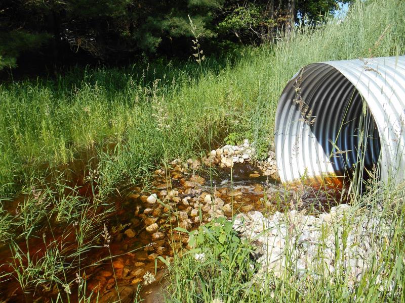
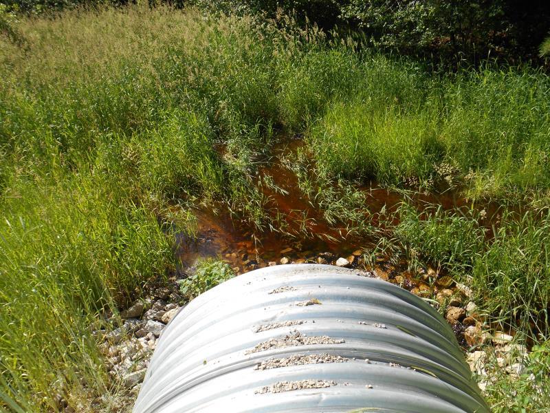
Inlet
Outlet
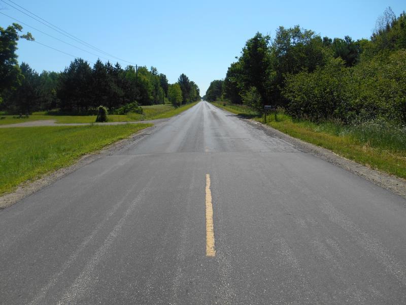
Upstream Conditions
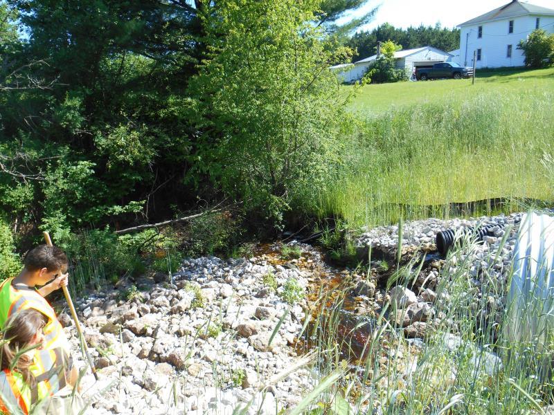
Downstream Conditions
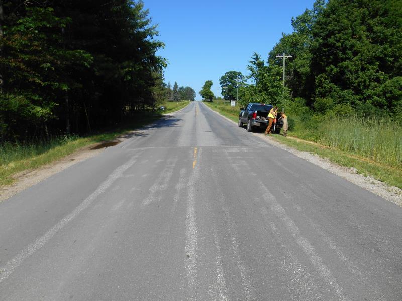
Road Approach - Left
Road Approach - Right
Crossing Information
Type of Crossing: culvert(s)
Number of Structures: 1
Structure Shape: Round
Inlet Type: Projecting
Outlet Type: At Stream Grade
Structure Material: Metal
Structure Substrate: Rock
General Conditions: New
Structure Interior: corrugated
Dimensions of Structure: Length 89 ft.
, Width 7 ft.
, Height 7 ft.
Percentage Plugged:
In Pipe: 1% to 25%
Perch Height: 1.4 ft.
Structure Inlet
Water Depth: 0.8 ft.
Embedded Depth of Structure: 0 ft.
Water Velocity*: 0.4 ft./sec.
Structure Outlet
Water Depth: 0.3 ft.
Embedded Depth of Structure: 0 ft.
Water Velocity*: 3.3 ft./sec.
*Water Velocities were measured 0.4 ft. below Surface
(with Meter)
Stream Information
Stream Flow: Less than Bankfull
Scour Pool: Length 12.7 ft.
, Width 7.7 ft.
, Depth 1.1 ft.
Upstream Pond: Length 20 ft.
, Width 12 ft.
Riffle Information
Water Depth: 0.5 ft.
Bankfull Width: 19.6 ft.
Wetted Width: 14 ft.
Water Velocity: 0.6 ft./sec.
(Measured with Meter)
Dominant Substrate: Sand
Road Information
Paved
Private Road
Road Condition: Good
Road Width at Culvert: 24.5 ft.
Location of Low Point: At Stream
Runoff Path: Ditch
Embankments
Upstream
Fill Depth: 2.5 ft.
Slope: 1:2
Downstream
Fill Depth: 2.5 ft.
Slope: 1:2
Approaches
Left Approach
Length: 500 ft.
Slope: 1% to 5%
Vegetation: Heavy
LS Factor: 0.5
Erosion: 0.2025 tons/year
Right Approach
Length: 50 ft.
Slope: Less Than 1%
Vegetation: Heavy
LS Factor: 0.05
Erosion: 0.002 tons/year
Erosion Information
Total Erosion at Crossing: 0.2185 tons/year
Extent of Erosion: Minor
Location of Erosion | Erosion Dimensions | Eroded Material | Material Eroded | Total Erosion | ||
facing downstream | Length | Width | Depth | Reaching Stream? | (tons/year) | |
Right Downtream Ditch |
7 ft. |
2 ft. |
2 ft. |
yes |
Gravel |
0.014 |
Summary Information
Fish Passability 0
�