Road Stream Crossing Site LIN_MLCD004
Lincoln River Watershed, Stiles Creek
Sugar Grove Rd
Victory Twp,
Mason County
Information collected by:

Site Location
GPS Coordinates: 44.00628
, -86.33941
T19N
R17W
Sec 27
Owned by Private
Fish Passability 0.5
Total Erosion: 0.1944 tons/year
Severity: Moderate
Year Inventoried: 2019
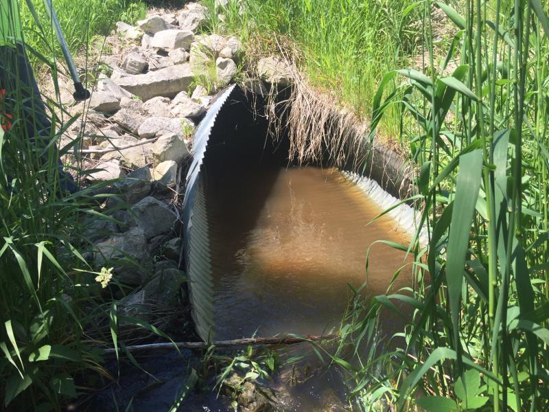
Inlet
Outlet
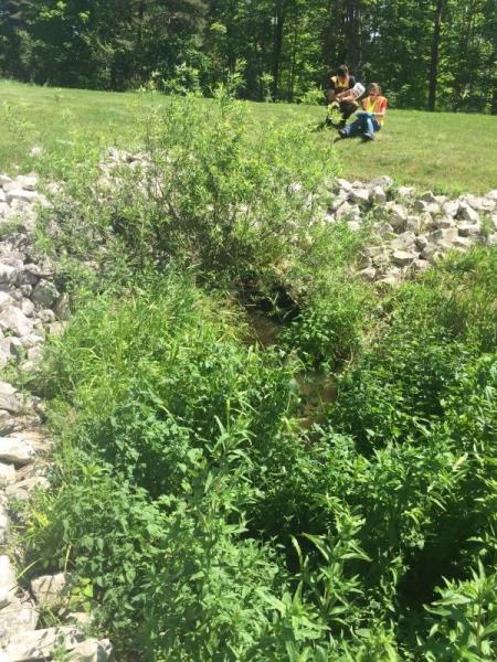
Upstream Conditions
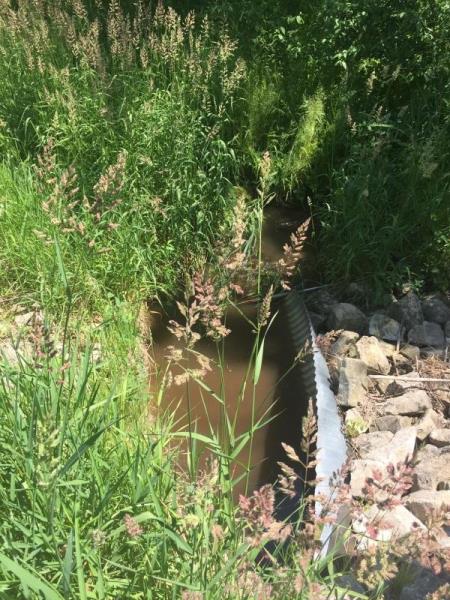
Downstream Conditions
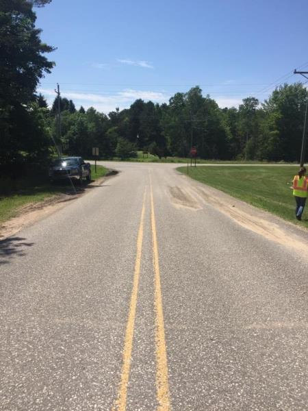
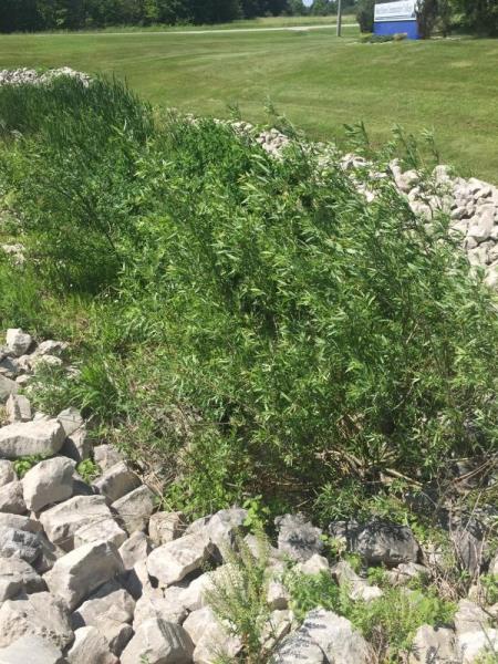
Road Approach - Left
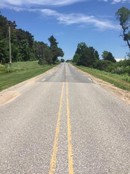
Road Approach - Right
Crossing Information
Type of Crossing: culvert(s)
Number of Structures: 1
Structure Shape: Ellipse
Inlet Type: Mitered
Outlet Type: At Stream Grade
Structure Material: Metal
Structure Substrate: None
General Conditions: New
Structure Interior: corrugated
Dimensions of Structure: Length 104 ft.
, Width 4.6 ft.
, Height 3.25 ft.
Structure Inlet
Water Depth: 0.7 ft.
Embedded Depth of Structure: 0 ft.
Water Velocity*: 0.2 ft./sec.
Structure Outlet
Water Depth: 1.1 ft.
Embedded Depth of Structure: 0.75 ft.
Water Velocity*: 0.2 ft./sec.
*Water Velocities were measured 0.35 ft. below Surface
(with Meter)
Stream Information
Stream Flow: Less than 1/2 Bankfull
Riffle Information
Water Depth: 0.8 ft.
Bankfull Width: 6.5 ft.
Wetted Width: 5.3 ft.
Water Velocity: 0.8 ft./sec.
(Measured with Meter)
Dominant Substrate: Cobble
Road Information
Paved
County Road
Road Condition: Good
Road Width at Culvert: 24 ft.
Location of Low Point: At Stream
Runoff Path: Roadway
Embankments
Upstream
Fill Depth: 7 ft.
Slope: More than 1:2
Downstream
Fill Depth: 6 ft.
Slope: More than 1:2
Approaches
Left Approach
Length: 400 ft.
Slope: 1% to 5%
Vegetation: Partial
LS Factor: 0.6
Erosion: 0.1904 tons/year
Right Approach
Length: 100 ft.
Slope: Less Than 1%
Vegetation: Partial
LS Factor: 0.05
Erosion: 0.004 tons/year
Erosion Information
Total Erosion at Crossing: 0.1944 tons/year
Summary Information
Fish Passability 0.5
These non-native species were observerd at this site: Autumn Olive
�