Road Stream Crossing Site LIN_MLCD006
Lincoln River Watershed, Frog Paradise Drain
Stephens Rd
Victory Twp,
Mason County
Information collected by:

Site Location
GPS Coordinates: 43.99047
, -86.20035
T19N
R16W
Sec 34
Owned by Private
Fish Passability 0.9
Total Erosion: 0.1382 tons/year
Severity: Minor
Year Inventoried: 2019
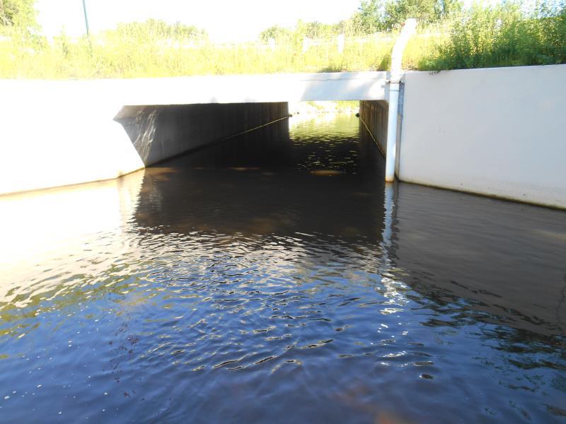
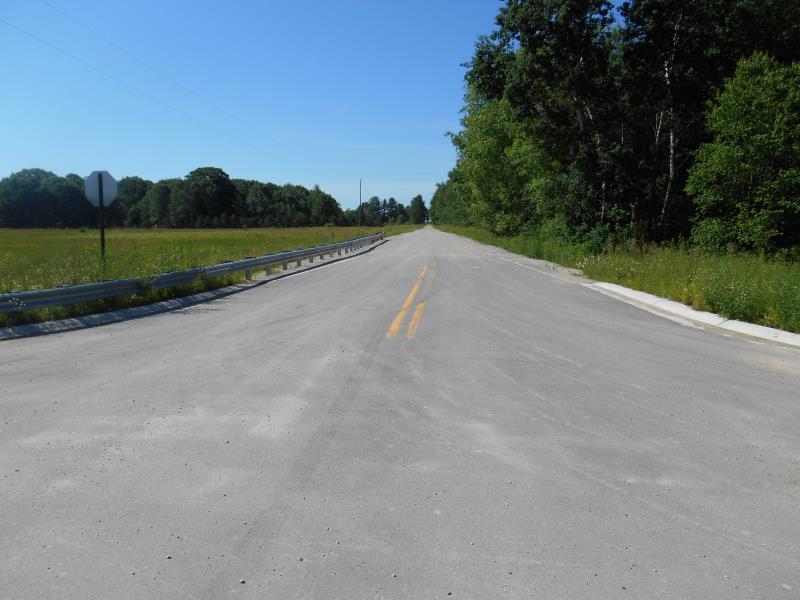
Inlet
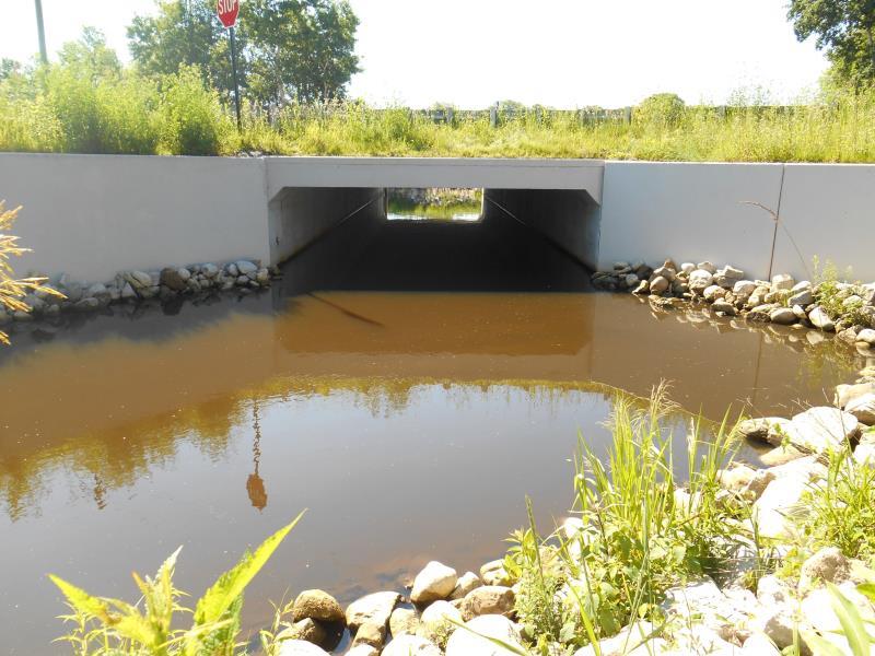
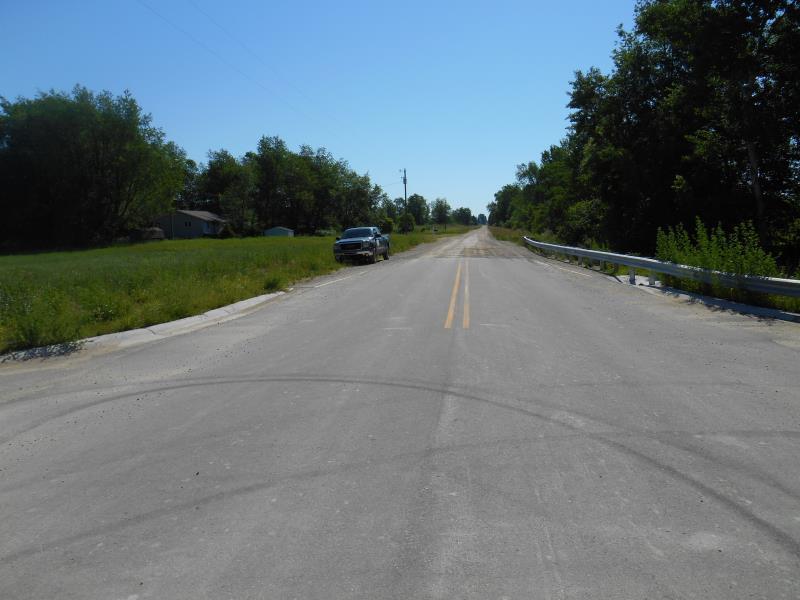
Outlet
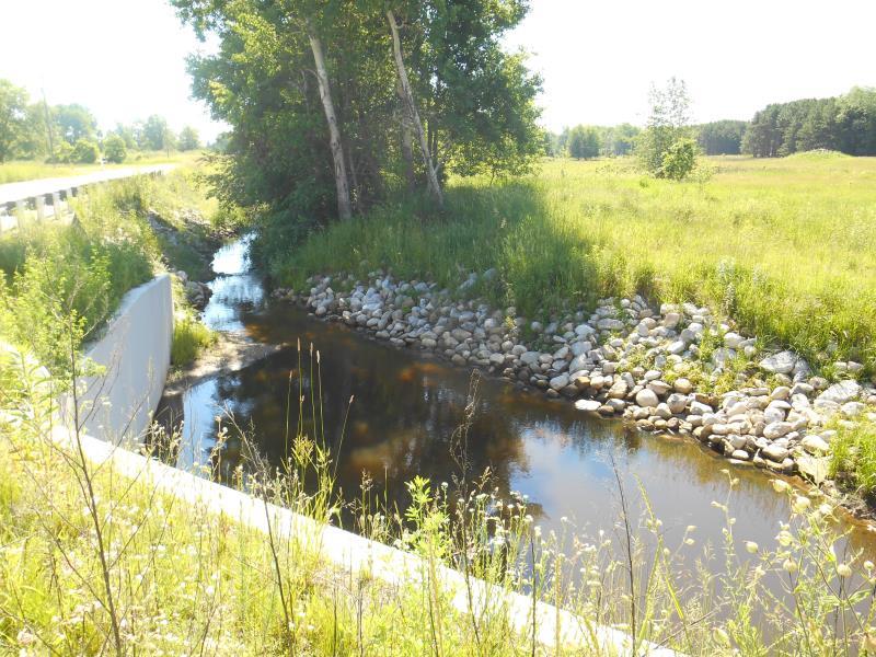
Upstream Conditions
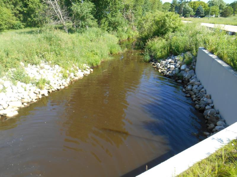
Downstream Conditions
Road Approach - Left
Road Approach - Right
Crossing Information
Type of Crossing: culvert(s)
Number of Structures: 1
Structure Shape: Square/Rectangle
Inlet Type: Wingwall 30-70 Degree
Outlet Type: Outlet Apron
Structure Material: Concrete
Structure Substrate: Mixture
General Conditions: New
Structure Interior: smooth
Dimensions of Structure: Length 97 ft.
, Width 20 ft.
, Height 8 ft.
Structure Inlet
Water Depth: 2.6 ft.
Embedded Depth of Structure: 0 ft.
Water Velocity*: 0.2 ft./sec.
Structure Outlet
Water Depth: 2.6 ft.
Embedded Depth of Structure: 0 ft.
Water Velocity*: 0 ft./sec.
*Water Velocities were measured 1.2 ft. below Surface
(with Meter)
Stream Information
Stream Flow: Less than 1/2 Bankfull
Scour Pool: Length 52 ft.
, Width 32 ft.
, Depth 2.6 ft.
Upstream Pond: Length 43.6 ft.
, Width 23.4 ft.
Riffle Information
Water Depth: 0.5 ft.
Bankfull Width: 13 ft.
Wetted Width: 11 ft.
Water Velocity: 0.8 ft./sec.
(Measured with Meter)
Dominant Substrate: Silt
Road Information
Paved
County Road
Road Condition: Good
Road Width at Culvert: 76 ft.
Location of Low Point: At Stream
Runoff Path: Roadway
Embankments
Upstream
Fill Depth: 1.5 ft.
Slope: More than 1:2
Downstream
Fill Depth: 1.5 ft.
Slope: More than 1:2
Approaches
Left Approach
Length: 500 ft.
Slope: Less Than 1%
Vegetation: Partial
LS Factor: 0.055
Erosion: 0.0691 tons/year
Right Approach
Length: 500 ft.
Slope: Less Than 1%
Vegetation: Partial
LS Factor: 0.055
Erosion: 0.0691 tons/year
Erosion Information
Total Erosion at Crossing: 0.1382 tons/year
Summary Information
Fish Passability 0.9
�