Road Stream Crossing Site LIN_MLCD015
Lincoln River Watershed, Drainage of South Branch of Lincoln River
Fischer Rd
Victory Twp,
Mason County
Information collected by:

Site Location
GPS Coordinates: 43.99887
, -86.33009
T19N
R17W
Sec 34/35
Owned by Private
Fish Passability 0.5
Total Erosion: 0.7209 tons/year
Severity: Moderate
Year Inventoried: 2019
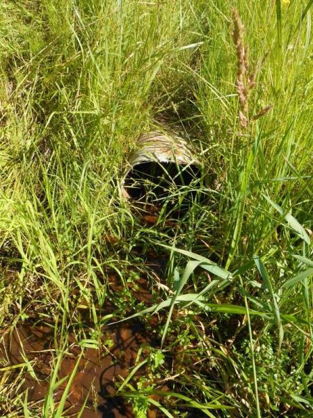
Inlet
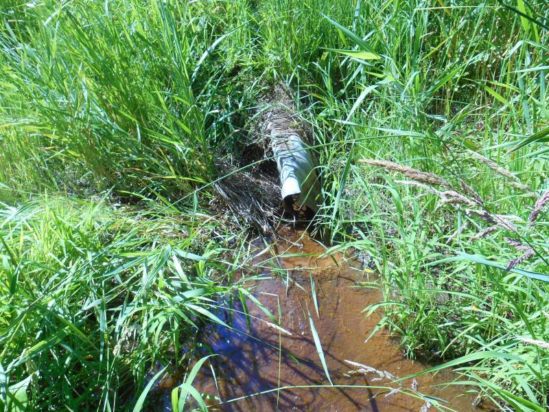
Outlet
Upstream Conditions
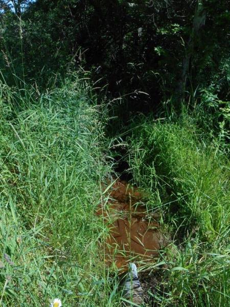
Downstream Conditions
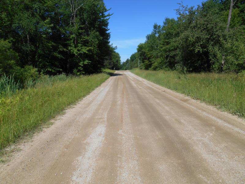
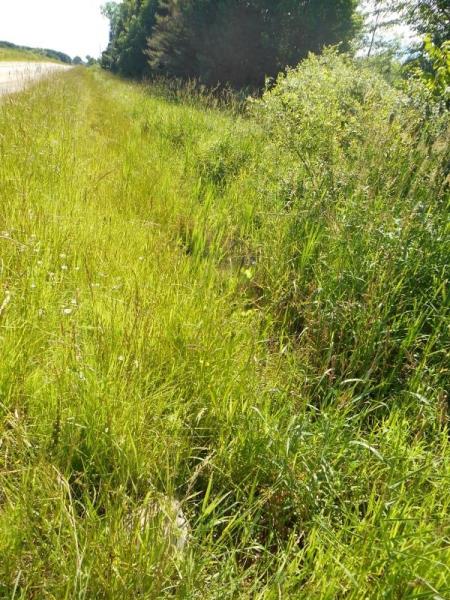
Road Approach - Left
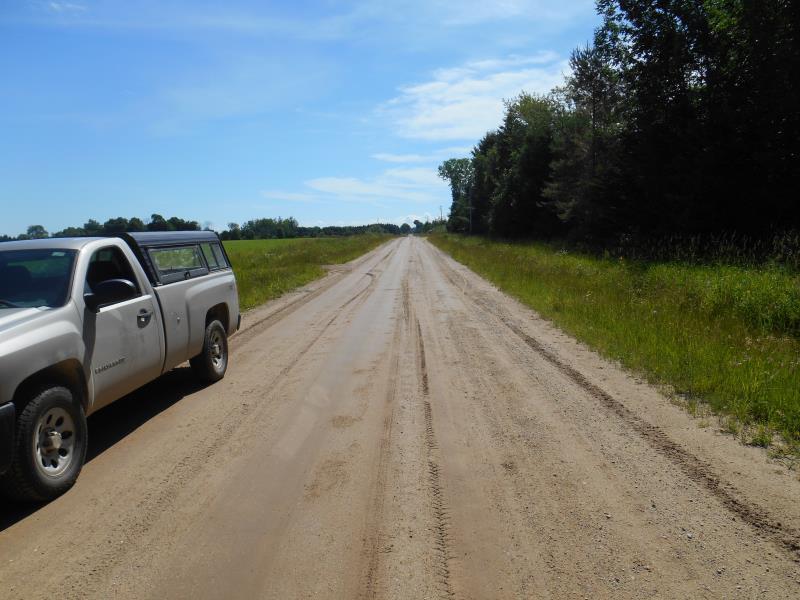
Road Approach - Right
Crossing Information
Type of Crossing: culvert(s)
Number of Structures: 1
Structure Shape: Round
Inlet Type: Projecting
Outlet Type: At Stream Grade
Structure Material: Metal
Structure Substrate: None
General Conditions: Poor
Structure Interior: corrugated
Structure is Rusted through
Dimensions of Structure: Length 37 ft.
, Width 1.4 ft.
, Height 1.4 ft.
Percentage Crushed:
Outlet: 51% to 75%
Structure Inlet
Water Depth: 0.1 ft.
Embedded Depth of Structure: 0.1 ft.
Water Velocity*: 0.1 ft./sec.
Structure Outlet
Water Depth: 0.1 ft.
Embedded Depth of Structure: 0 ft.
Water Velocity*: 0.1 ft./sec.
*Water Velocities were measured at the Surface
(with Meter)
Stream Information
Stream Flow: Less than 1/2 Bankfull
Riffle Information
Water Depth: 0.2 ft.
Bankfull Width: 7 ft.
Wetted Width: 4 ft.
Water Velocity: 0.1 ft./sec.
(Measured with Meter)
Dominant Substrate: Sand
Road Information
Gravel
County Road
Road Condition: Good
Road Width at Culvert: 21 ft.
Location of Low Point: At Stream
Runoff Path: Ditch
Embankments
Upstream
Fill Depth: 2 ft.
Slope: 1:2
Downstream
Fill Depth: 2 ft.
Slope: 1:2
Approaches
Left Approach
Length: 200 ft.
Slope: 1% to 5%
Vegetation: Partial
LS Factor: 0.48
Erosion: 0.5554 tons/year
Right Approach
Length: 500 ft.
Slope: Less Than 1%
Vegetation: Partial
LS Factor: 0.055
Erosion: 0.1591 tons/year
Erosion Information
Total Erosion at Crossing: 0.7209 tons/year
Extent of Erosion: Minor
Location of Erosion | Erosion Dimensions | Eroded Material | Material Eroded | Total Erosion | ||
facing downstream | Length | Width | Depth | Reaching Stream? | (tons/year) | |
Right Downtream Ditch |
5 ft. |
1 ft. |
1.5 ft. |
yes |
Silt |
0.0064 |
Summary Information
Fish Passability 0.5
Fish Passage is an area of concern for this site.
Intermittant stream flow
�