Road Stream Crossing Site LIN_MLCD017
Lincoln River Watershed, Cemetery Creek
Decker Rd
Custer Twp,
Mason County
Information collected by:

Site Location
GPS Coordinates: 43.99088
, -86.28704
T18N
R16W
Sec 6
Owned by Private
Fish Passability 0.5
Total Erosion: 0.8981 tons/year
Severity: Moderate
Year Inventoried: 2019
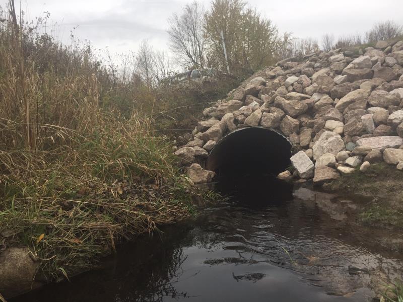
Inlet
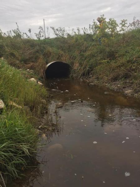
Outlet
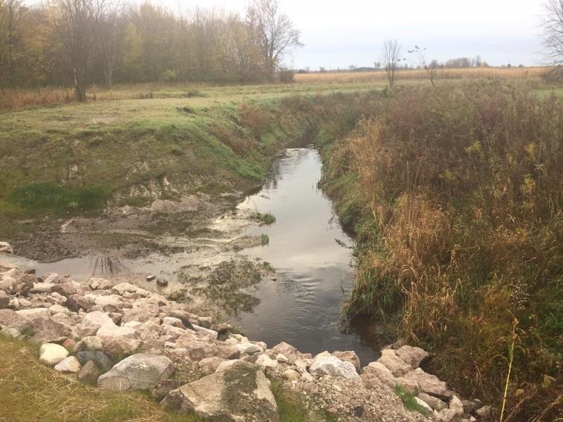
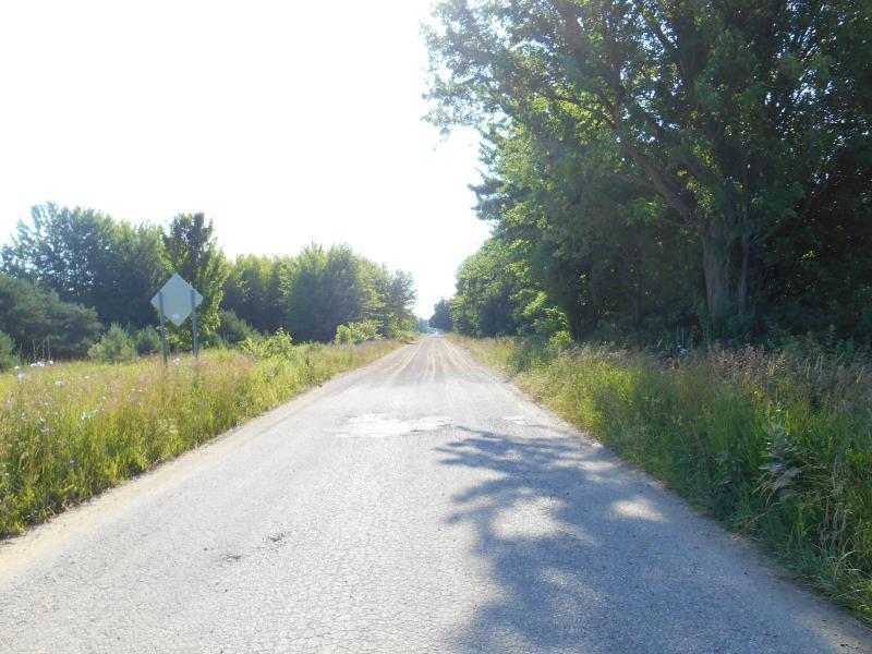
Upstream Conditions
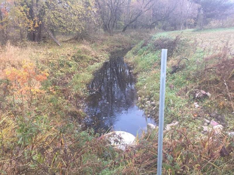
Downstream Conditions
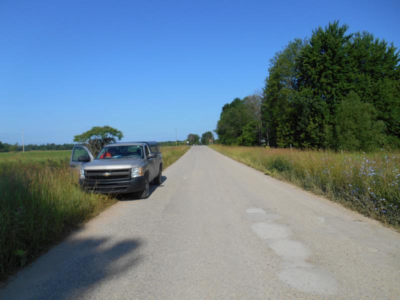
Road Approach - Left
Road Approach - Right
Crossing Information
Type of Crossing: culvert(s)
Number of Structures: 1
Structure Shape: Round
Inlet Type: Mitered
Outlet Type: At Stream Grade
Structure Material: Metal
Structure Substrate: None
General Conditions: Good
Structure Interior: corrugated
Dimensions of Structure: Length 134 ft.
, Width 4.4 ft.
, Height 3.3 ft.
Percentage Crushed:
Inlet: 1% to 25%
Outlet: 1% to 25%
Structure Inlet
Water Depth: 0.6 ft.
Embedded Depth of Structure: 0 ft.
Water Velocity*: 2.1 ft./sec.
Structure Outlet
Water Depth: 0.6 ft.
Embedded Depth of Structure: 0 ft.
Water Velocity*: 1.2 ft./sec.
*Water Velocities were measured 0.3 ft. below Surface
(with Meter)
Additional Comments
Post summer 2019 construction in which drainage ditch was dug
Stream Information
Stream Flow: Less than 1/2 Bankfull
Riffle Information
Water Depth: 0.8 ft.
Bankfull Width: 24 ft.
Wetted Width: 10 ft.
Water Velocity: 0.8 ft./sec.
(Measured with Meter)
Dominant Substrate: Sand
Road Information
Gravel
County Road
Road Condition: Good
Road Width at Culvert: 20 ft.
Location of Low Point: At Stream
Runoff Path: Ditch
Embankments
Upstream
Fill Depth: 8 ft.
Slope: 1:2
Downstream
Fill Depth: 8 ft.
Slope: More than 1:2
Approaches
Left Approach
Length: 300 ft.
Slope: 1% to 5%
Vegetation: Heavy
LS Factor: 0.46
Erosion: 0.7603 tons/year
Right Approach
Length: 500 ft.
Slope: Less Than 1%
Vegetation: Heavy
LS Factor: 0.05
Erosion: 0.1377 tons/year
Erosion Information
Total Erosion at Crossing: 0.8981 tons/year
Notes: Visible erosion can't be seen due to dense vegetation
Summary Information
Fish Passability 0.5
�