Road Stream Crossing Site LIN_MLCD018
Lincoln River Watershed, South Branch of Lincoln River
Darr Rd
Sherman Twp,
Mason County
Information collected by:

Site Location
GPS Coordinates: 44.00471
, -86.15385
T19N
R16W
Sec 30
Owned by Private
Fish Passability 0.5
Severity: Moderate
Year Inventoried: 2019
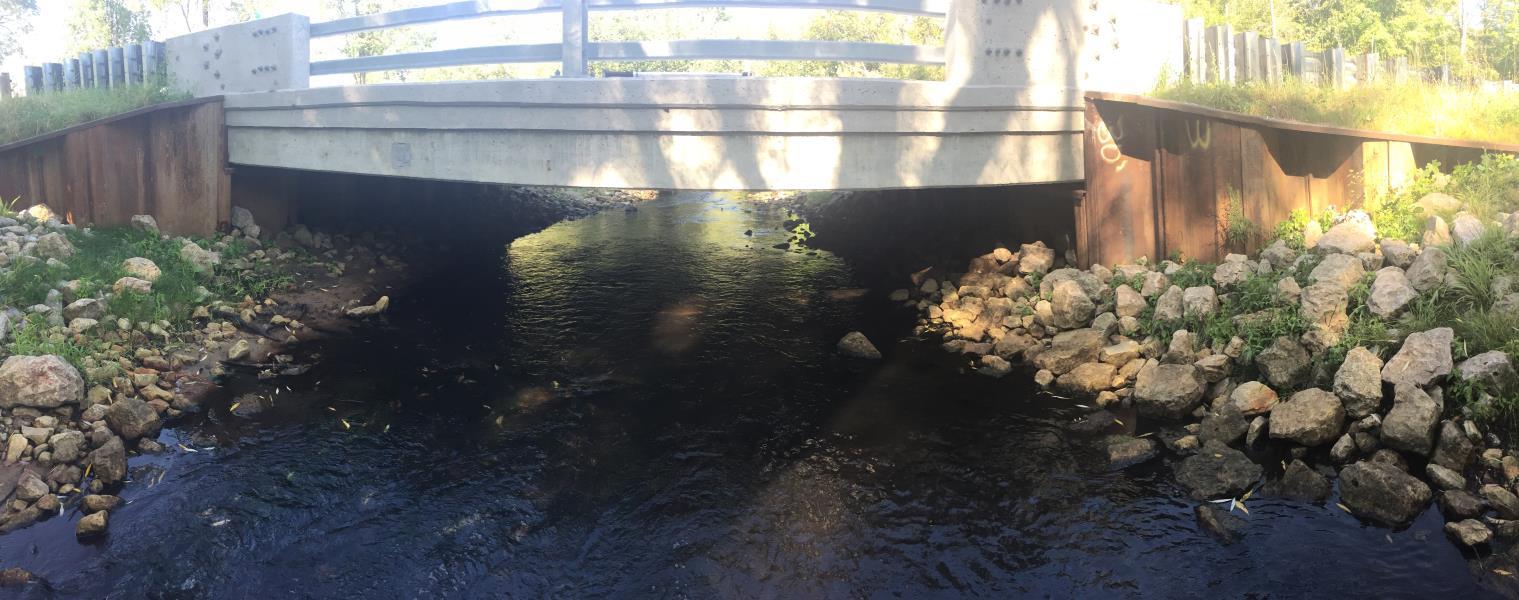
Inlet
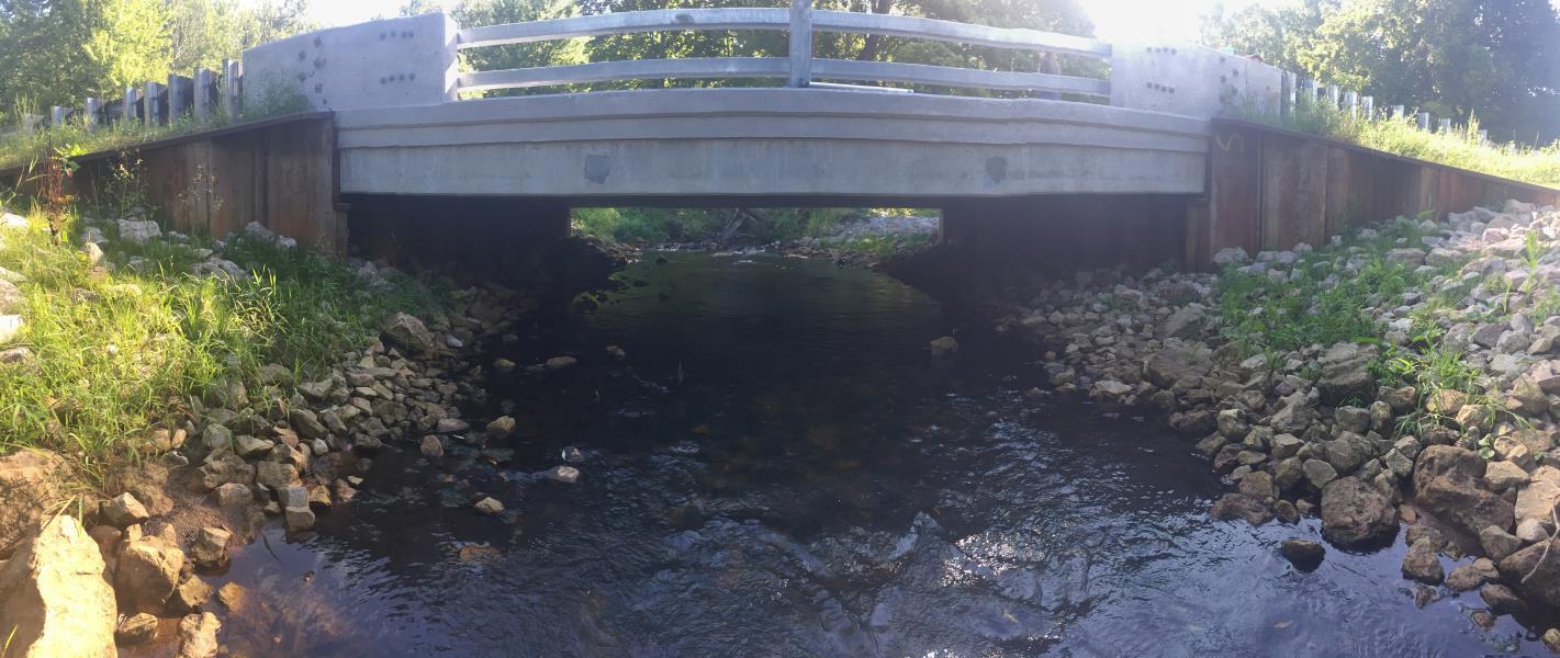
Outlet
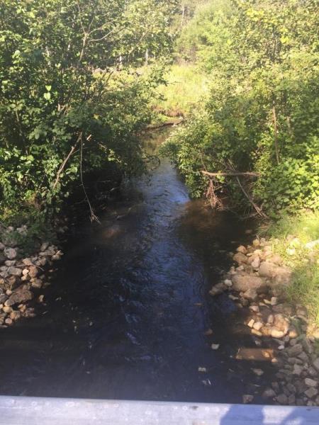
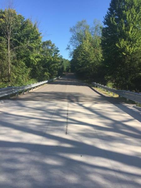
Upstream Conditions
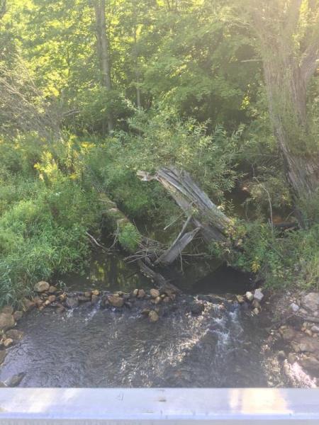
Downstream Conditions
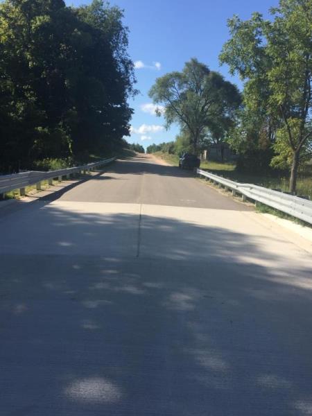
Road Approach - Left
Road Approach - Right
Crossing Information
Type of Crossing: Bridge
Structure Shape: Open Bottom Square
Inlet Type: Other
Outlet Type: Other
Structure Material: Concrete
Structure Substrate: Mixture
General Conditions: New
Dimensions of Structure: Length 29 ft.
, Width 27 ft.
, Height 4.3 ft.
Structure Inlet
Water Depth: 0.8 ft.
Water Velocity*: 1.3 ft./sec.
Structure Outlet
Water Depth: 1.1 ft.
Water Velocity*: 2.3 ft./sec.
*Water Velocities were measured 0.5 ft. below Surface
(with Meter)
Stream Information
Stream Flow: Less than 1/2 Bankfull
Upstream Pond: Length 34 ft.
, Width 17 ft.
Riffle Information
Water Depth: 1.1 ft.
Bankfull Width: 19 ft.
Wetted Width: 8.4 ft.
Water Velocity: 1 ft./sec.
(Measured with Meter)
Dominant Substrate: Sand
Road Information
Paved
County Road
Road Condition: Good
Road Width at Culvert: 27 ft.
Slope: More than 1:2
Slope: More than 1:2
Erosion Information
Summary Information
Fish Passability 0.5
�