Road Stream Crossing Site LIN_MLCD020
Lincoln River Watershed, South Branch of Lincoln River
US-31
Sherman Twp,
Mason County
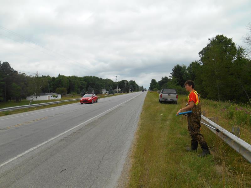
Information collected by:

Site Location
GPS Coordinates: 44.01501
, -86.28004
T19N
R16W
Sec 30
Owned by Private
Fish Passability 0
Structure is NOT Perched
Total Erosion: 10.8385 tons/year
Severity: Severe
Year Inventoried: 2019
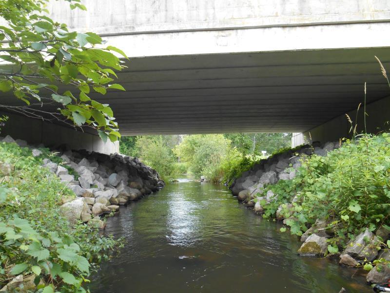
Inlet
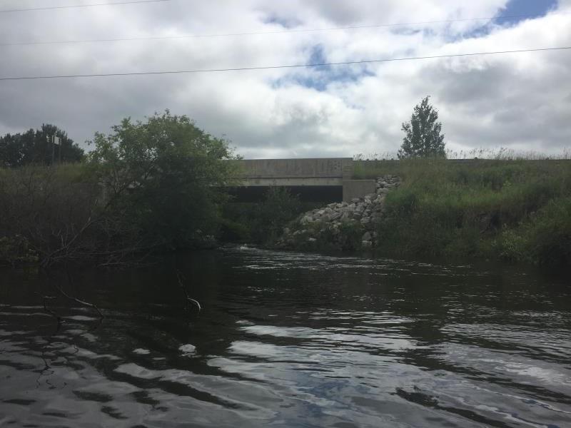
Outlet
Upstream Conditions
Upstream Conditions

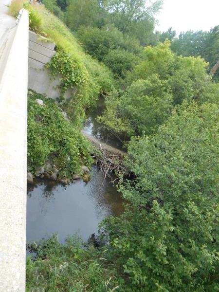
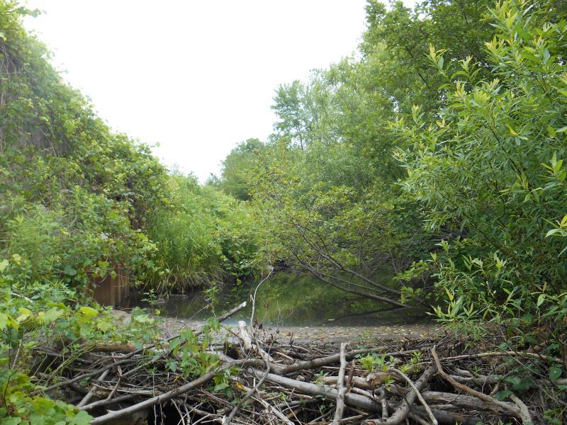
Downstream Conditions
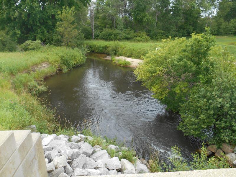
Downstream Conditions
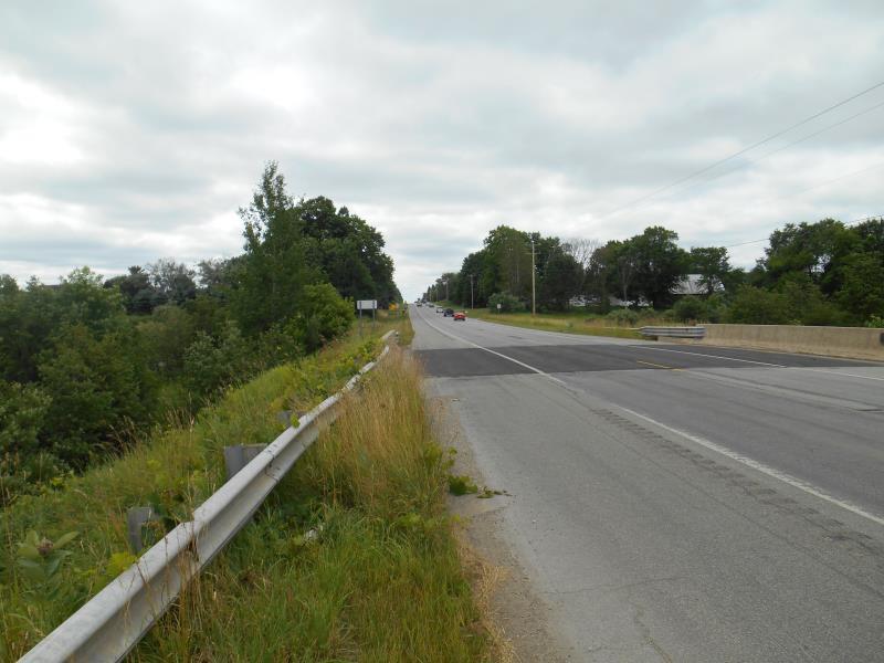
Road Approach - Left
Road Approach - Right
Crossing Information
Type of Crossing: Bridge
Structure Shape: Open Bottom Square/Rectangle
Inlet Type: Other
Outlet Type: Other
Structure Material: Concrete
Structure Substrate: Rock
General Conditions: Good
Dimensions of Structure: Length 90.51 ft.
, Width 14.57 ft.
, Height 11.4 ft.
Structure is NOT Perched
Structure Inlet
Water Depth: 1.3 ft.
Embedded Depth of Structure: 0 ft.
Water Velocity*: 1.2 ft./sec.
Structure Outlet
Water Depth: 1.1 ft.
Embedded Depth of Structure: 0 ft.
Water Velocity*: 5.2 ft./sec.
(with Meter)
Additional Comments
Bridge with Cobble - no culvert. Structure dimensions are as follows: Rock to Rock = R. Bridge to Bridge = B. Format = R.B
Stream Information
Stream Flow: Less than 1/2 Bankfull
Scour Pool: Length 77 ft.
, Width 54 ft.
Upstream Pond: Length 24 ft.
, Width 25 ft.
Riffle Information
Water Depth: 3.4 ft.
Bankfull Width: 31.5 ft.
Wetted Width: 17.5 ft.
Water Velocity: 0.6 ft./sec.
(Measured with Meter)
Dominant Substrate: Sand
Road Information
Paved
Federal Road
Road Condition: Good
Road Width at Culvert: 50 ft.
Location of Low Point: At Stream
Runoff Path: Ditch
Slope: 1:1.5
Slope: 1:2
Approaches
Left Approach
Length: 500 ft.
Slope: 1% to 5%
Vegetation: Heavy
LS Factor: 0.5
Erosion: 0.4132 tons/year
Right Approach
Length: 500 ft.
Slope: Less Than 1%
Vegetation: Heavy
LS Factor: 0.05
Erosion: 0.0413 tons/year
Erosion Information
Total Erosion at Crossing: 10.8385 tons/year
Extent of Erosion: Severe
Notes: Both sides of scour pool has eroded banks about 5 feet tall sliding into river
Location of Erosion | Erosion Dimensions | Eroded Material | Material Eroded | Total Erosion | ||
facing downstream | Length | Width | Depth | Reaching Stream? | (tons/year) | |
Left Downstream Streambank |
58 ft. |
4 ft. |
6 ft. |
yes |
Sand |
7.656 |
Right Downstream Streambank |
31 ft. |
2 ft. |
4 ft. |
yes |
Sand |
2.728 |
Summary Information
Fish Passability 0
Erosion is an area of concern for this site.
Downstream severe erosion
A future visit to this site is recommended. Erosion on streambanks
�