Road Stream Crossing Site LIN_MLCD021
Lincoln River Watershed, Cemetery Creek
Decker Rd
Custer Twp,
Mason County
Information collected by:

Site Location
GPS Coordinates: 43.9910917
, -86.2777778
T18N
R16W
Sec 6
Owned by Private
Fish Passability 0
Total Erosion: 0.1078 tons/year
Severity: Severe
Year Inventoried: 2019
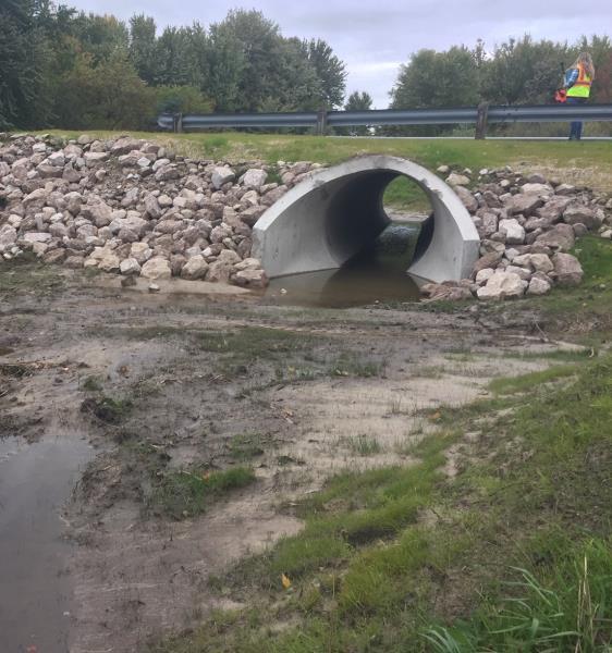
Inlet
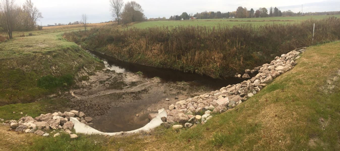
Upstream Conditions
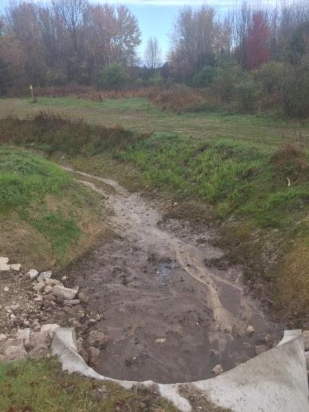
Downstream Conditions
Road Approach - Left
Road Approach - Right
Crossing Information
Type of Crossing: culvert(s)
Number of Structures: 1
Structure Shape: Round
Inlet Type: Apron
Outlet Type: At Stream Grade
Structure Material: Concrete
Structure Substrate: Sand
General Conditions: New
Structure Interior: smooth
Dimensions of Structure: Length 62 ft.
, Width 9 ft.
, Height 5.5 ft.
Structure Inlet
Water Depth: 0.3 ft.
Embedded Depth of Structure: 0.2 ft.
Water Velocity*: 0 ft./sec.
Water Depth: 0 ft.
Embedded Depth of Structure: 0.2 ft.
Water Velocity*: 0 ft./sec.
*Water Velocities were measured at the Surface
(with Meter)
Additional Comments
NEW CULVERT. USED AS OVERFLOW FOR MLCD-17 CULVERT
Stream Information
Stream Flow: Less than Bankfull
Riffle Information
Water Depth: 0.8 ft.
Bankfull Width: 24 ft.
Wetted Width: 10 ft.
Water Velocity: 0.8 ft./sec.
(Measured with Meter)
Dominant Substrate: Sand
Road Information
Paved
County Road
Road Condition: Good
Road Width at Culvert: 20 ft.
Location of Low Point: At Stream
Runoff Path: Ditch
Embankments
Upstream
Fill Depth: 8 ft.
Slope: 1:2
Downstream
Fill Depth: 8 ft.
Slope: More than 1:2
Approaches
Left Approach
Length: 300 ft.
Slope: 1% to 5%
Vegetation: Heavy
LS Factor: 0.46
Erosion: 0.0912 tons/year
Right Approach
Length: 500 ft.
Slope: Less Than 1%
Vegetation: Heavy
LS Factor: 0.05
Erosion: 0.0165 tons/year
Erosion Information
Total Erosion at Crossing: 0.1078 tons/year
Summary Information
Fish Passability 0
�