Road Stream Crossing Site LIN_MLCD023
Lincoln River Watershed, Drainage of South Branch of Lincoln River
Hansen Rd
Custer Twp,
Mason County
Information collected by:

Site Location
GPS Coordinates: 43.975333
, -86.196389
T18N
R16W
Sec 2
Owned by Private
Fish Passability 0.9
Total Erosion: 0.2333 tons/year
Severity: Minor
Year Inventoried: 2019
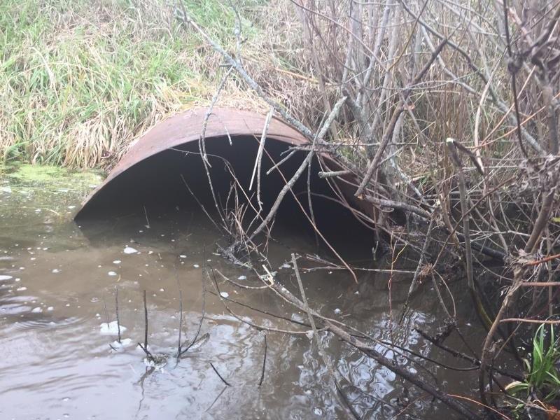
Inlet
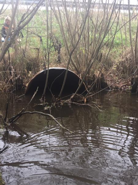
Outlet
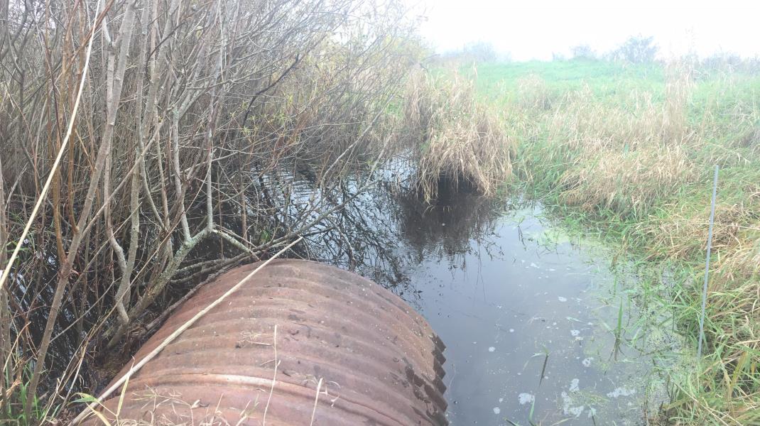
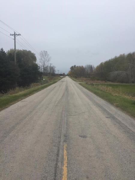
Upstream Conditions
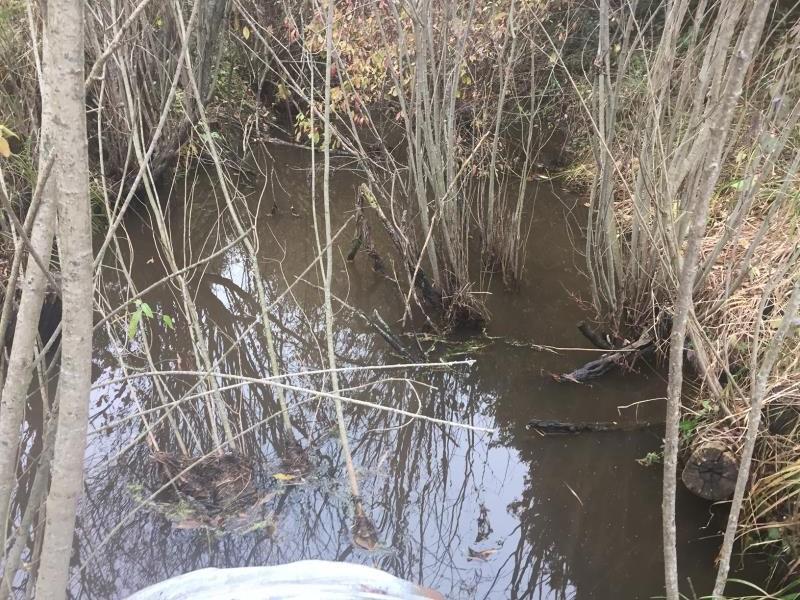
Downstream Conditions
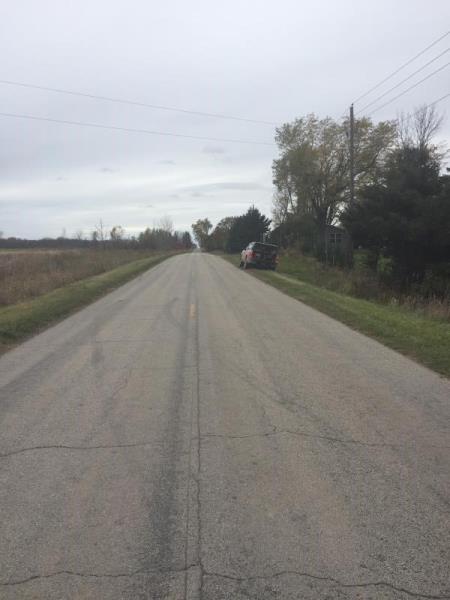
Road Approach - Left
Road Approach - Right
Crossing Information
Type of Crossing: culvert(s)
Number of Structures: 1
Structure Shape: Round
Inlet Type: Projecting
Outlet Type: At Stream Grade
Structure Material: Metal
Structure Substrate: Sand
General Conditions: Fair
Dimensions of Structure: Length 62 ft.
, Width 4 ft.
, Height 4 ft.
Structure Inlet
Water Depth: 2.3 ft.
Embedded Depth of Structure: 0.2 ft.
Water Velocity*: 0.2 ft./sec.
Structure Outlet
Water Depth: 2 ft.
Embedded Depth of Structure: 0.1 ft.
Water Velocity*: 0.2 ft./sec.
*Water Velocities were measured 1 ft. below Surface
(with Meter)
Stream Information
Stream Flow: Less than Bankfull
Upstream Pond: Length 20 ft.
, Width 14 ft.
, Depth 2.2 ft.
Riffle Information
Water Depth: 1.8 ft.
Bankfull Width: 16 ft.
Wetted Width: 12 ft.
Water Velocity: 0.2 ft./sec.
(Measured with Meter)
Dominant Substrate: Sand
Road Information
Paved
County Road
Road Condition: Fair
Road Width at Culvert: 21 ft.
Location of Low Point: At Stream
Runoff Path: Ditch
Embankments
Upstream
Fill Depth: 12 ft.
Slope: 1:1.5
Downstream
Fill Depth: 11 ft.
Slope: 1:1.5
Approaches
Left Approach
Length: 200 ft.
Slope: 1% to 5%
Vegetation: Heavy
LS Factor: 0.43
Erosion: 0.0597 tons/year
Right Approach
Length: 500 ft.
Slope: 1% to 5%
Vegetation: Heavy
LS Factor: 0.5
Erosion: 0.1736 tons/year
Erosion Information
Total Erosion at Crossing: 0.2333 tons/year
Summary Information
Fish Passability 0.9
�