Road Stream Crossing Site GTBAY_AC001
Acme Creek Watershed, Acme Creek
Creeks Crossing
Acme Twp,
Grand Traverse County
Information collected by:
Site Location
GPS Coordinates: 44.774218
, -85.502095
T28N
R10W
Sec 34
Owned by Private
Fish Passability 0.9
Total Erosion: 0.0715 tons/year
Severity: Minor
Year Inventoried: 2020
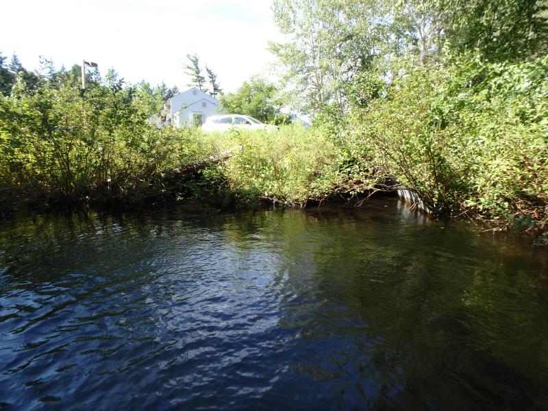
Inlet
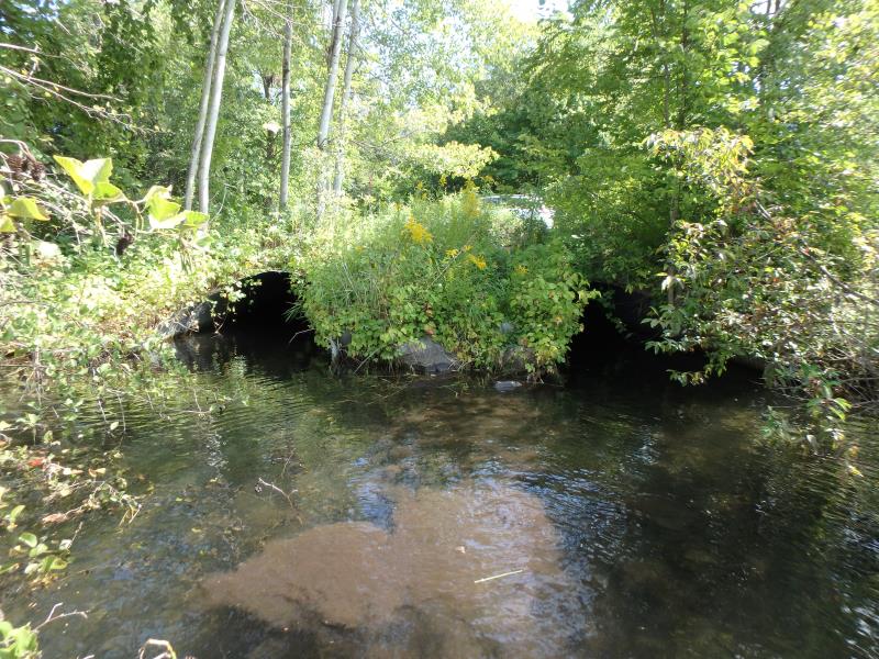
Outlet
Upstream Conditions
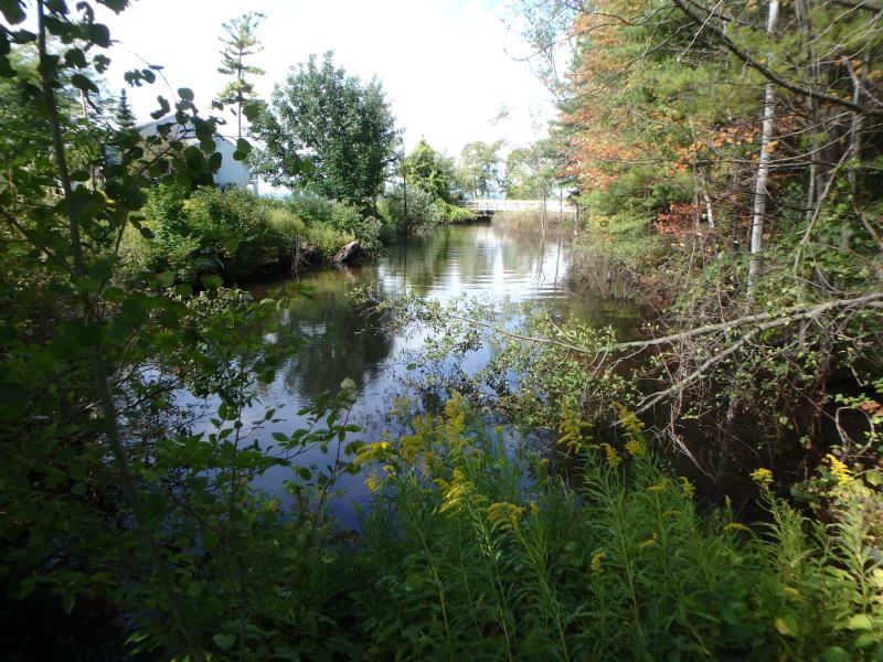
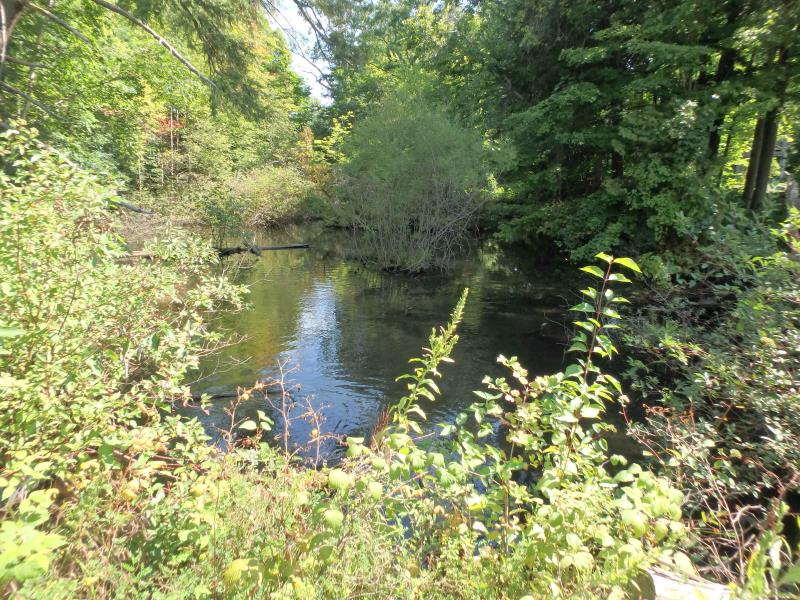
Downstream Conditions
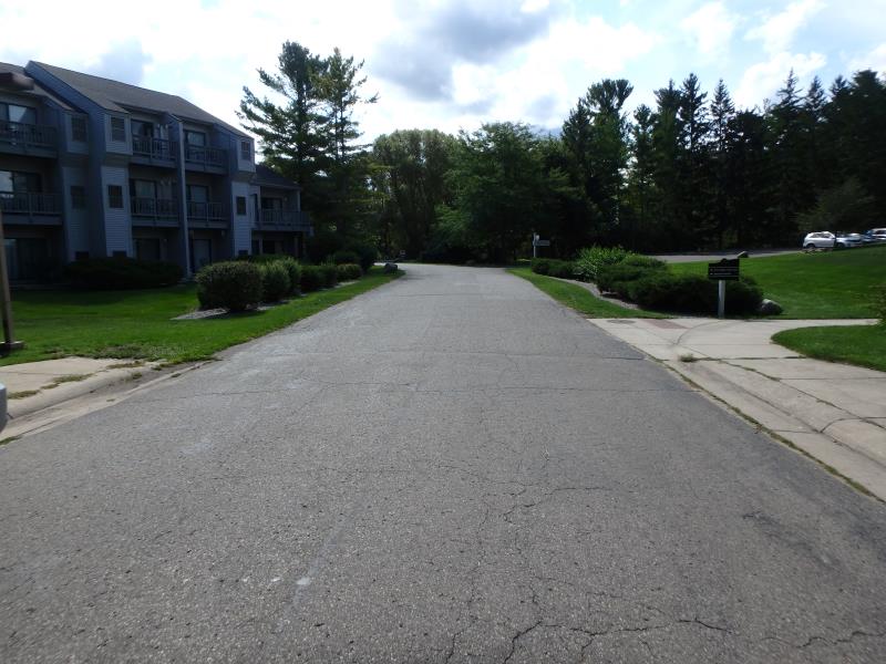
Road Approach - Left
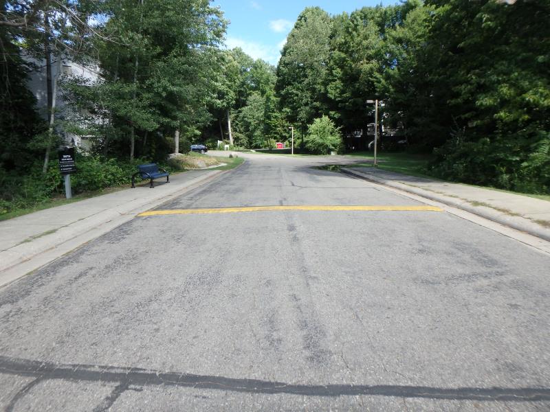
Road Approach - Right
Crossing Information
Type of Crossing: culvert(s)
Number of Structures: 2
Structure Shape: Pipe Arch
Inlet Type: Mitered
Outlet Type: At Stream Grade
Structure Material: Metal
Structure Substrate: Rock
General Conditions: Good
Multiple Culverts/Spans | ||||
Culvert/Span | Width | Length | Height | Material |
1 |
6.7 ft. |
85 ft. |
4.8 ft. |
|
1 |
6.9 ft. |
85 ft. |
4.9 ft. |
|
Structure Interior: corrugated
Dimensions of Structure: Length 85 ft.
, Width 6.7 ft.
, Height 4.8 ft.
Structure Inlet
Water Depth: 1.8 ft.
Embedded Depth of Structure: 0.4 ft.
Water Velocity*: 1.1 ft./sec.
Structure Outlet
Water Depth: 2.4 ft.
Embedded Depth of Structure: 0 ft.
Water Velocity*: 0.9 ft./sec.
*Water Velocities were measured 1 ft. below Surface
(with Meter)
Additional Comments
Water and depth measurements from culvert 2
Stream Information
Stream Flow: Less than Bankfull
Riffle Information
Water Depth: 1.4 ft.
Bankfull Width: 43 ft.
Wetted Width: 42 ft.
Water Velocity: 0.7 ft./sec.
Dominant Substrate: Sand
Road Information
Paved
Private Road
Road Condition: Good
Road Width at Culvert: 25 ft.
Location of Low Point: Other
Runoff Path: Roadway
Embankments
Upstream
Fill Depth: 2.5 ft.
Slope: More than 1:2
Downstream
Fill Depth: 2 ft.
Slope: More than 1:2
Approaches
Left Approach
Length: 180 ft.
Slope: 1% to 5%
Vegetation: Partial
LS Factor: 0.464
Erosion: 0.069 tons/year
Right Approach
Length: 60 ft.
Slope: Less Than 1%
Vegetation: Partial
LS Factor: 0.05
Erosion: 0.0025 tons/year
Erosion Information
Total Erosion at Crossing: 0.0715 tons/year
Summary Information
Fish Passability 0.9
�