Road Stream Crossing Site GTBAY_AC011
Acme Creek Watershed, Acme Creek
Lautner Road
Acme Twp,
Grand Traverse County
Information collected by:
Site Location
GPS Coordinates: 44.763563
, -85.475375
T27N
R10W
Sec 01
Owned by Private
Fish Passability 0
Total Erosion: 0.7242 tons/year
Severity: Severe
Year Inventoried: 2020
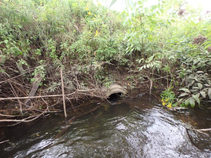
Inlet
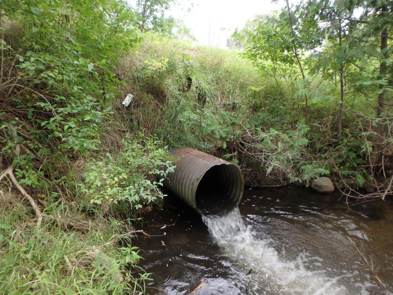
Outlet
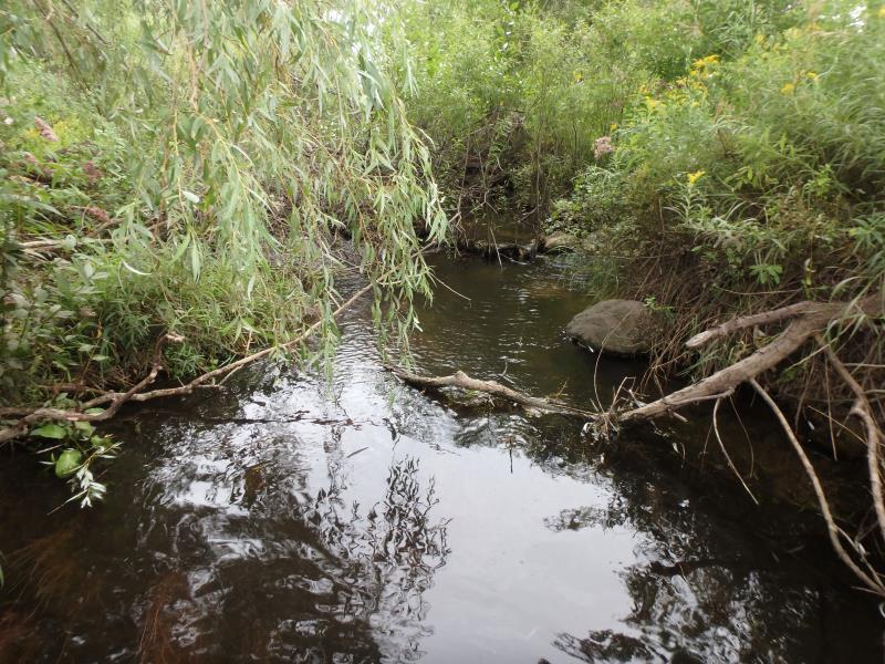
Upstream Conditions
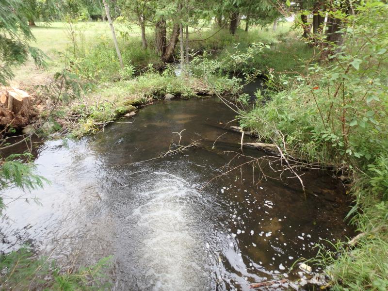
Downstream Conditions
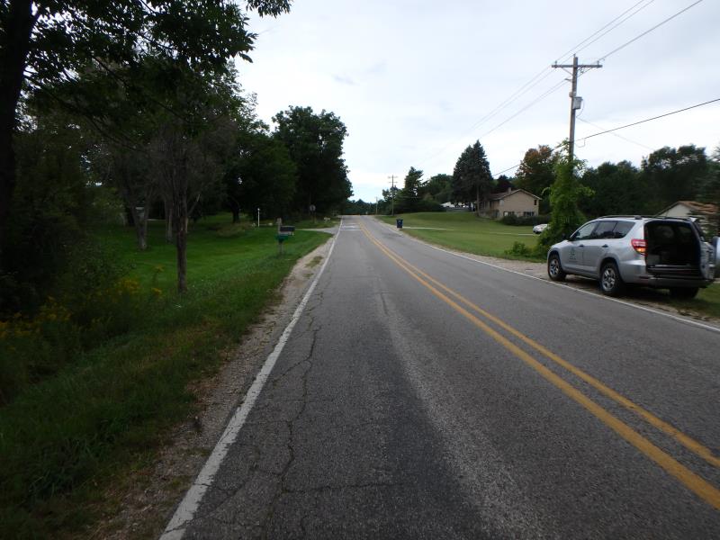
Road Approach - Left
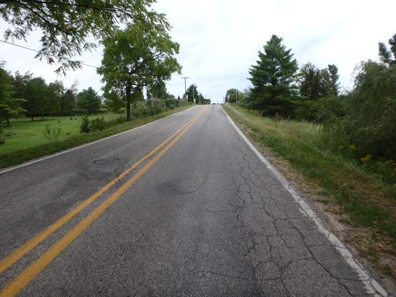
Road Approach - Right
Crossing Information
Type of Crossing: culvert(s)
Structure Shape: Round
Inlet Type: Projecting
Outlet Type: Freefall into Pool
Structure Material: Concrete
Structure Substrate: Sand
General Conditions: Fair
Structure Interior: smooth
Dimensions of Structure: Length 52 ft.
, Width 1.5 ft.
, Height 1.5 ft.
Structure Inlet
Water Depth: 1.2 ft.
Embedded Depth of Structure: 0.1 ft.
Water Velocity*: 2.9 ft./sec.
Structure Outlet
Water Depth: 0.4 ft.
Embedded Depth of Structure: 0 ft.
Water Velocity*: 6.3 ft./sec.
*Water Velocities were measured 0.7 ft. below Surface
(with Meter)
Stream Information
Stream Flow: Less than 1/2 Bankfull
Scour Pool: Length 22 ft.
, Width 17.5 ft.
, Depth 2 ft.
Riffle Information
Water Depth: 0.3 ft.
Bankfull Width: 9.4 ft.
Wetted Width: 8.9 ft.
Water Velocity: 1.5 ft./sec.
(Measured with Meter)
Dominant Substrate: Gravel
Road Information
Paved
County Road
Road Condition: Fair
Road Width at Culvert: 23 ft.
Location of Low Point: At Stream
Runoff Path: Ditch
Embankments
Upstream
Fill Depth: 6.5 ft.
Slope: Vertical
Downstream
Fill Depth: 8 ft.
Slope: Vertical
Approaches
Left Approach
Length: 500 ft.
Slope: 1% to 5%
Vegetation: Partial
LS Factor: 0.64
Erosion: 0.2433 tons/year
Right Approach
Length: 320 ft.
Slope: 1% to 5%
Vegetation: Heavy
LS Factor: 0.464
Erosion: 0.1129 tons/year
Erosion Information
Total Erosion at Crossing: 0.7242 tons/year
Extent of Erosion: Severe
Location of Erosion | Erosion Dimensions | Eroded Material | Material Eroded | Total Erosion | ||
facing downstream | Length | Width | Depth | Reaching Stream? | (tons/year) | |
Left Upstream Embankment |
8 ft. |
1.5 ft. |
0.3 ft. |
yes |
Gravelly Loam |
0.048 |
Left Downstream Embankment |
4 ft. |
2 ft. |
2 ft. |
yes |
Gravelly Loam |
0.16 |
Right Downstream Embankment |
4 ft. |
2 ft. |
2 ft. |
yes |
Gravelly Loam |
0.16 |
Summary Information
Fish Passability 0
Erosion is an area of concern for this site.
Erosion is due to undersized culvert and severe flooding of crossing during heavy rains. (Adjacent landowner offered pictures and videos)
A future visit to this site is recommended. Cuvert needs replacing. Crossing overtops road. Landowner claims it's a safety hazard.
�