Road Stream Crossing Site GTBAY_ACE016
Acme Creek Watershed, Acme Creek East
Bunker Hill Rd
Acme Twp,
Grand Traverse County
Information collected by:
Site Location
GPS Coordinates: 44.755738
, -85.455622
T27N
R10W
Sec 12
Owned by Private
Fish Passability 0.9
Total Erosion: 0.2243 tons/year
Severity: Minor
Year Inventoried: 2020
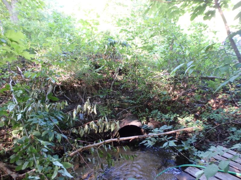
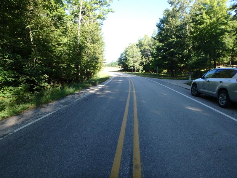
Inlet
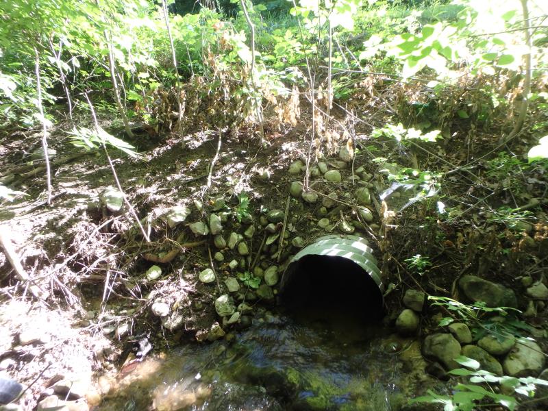
Outlet
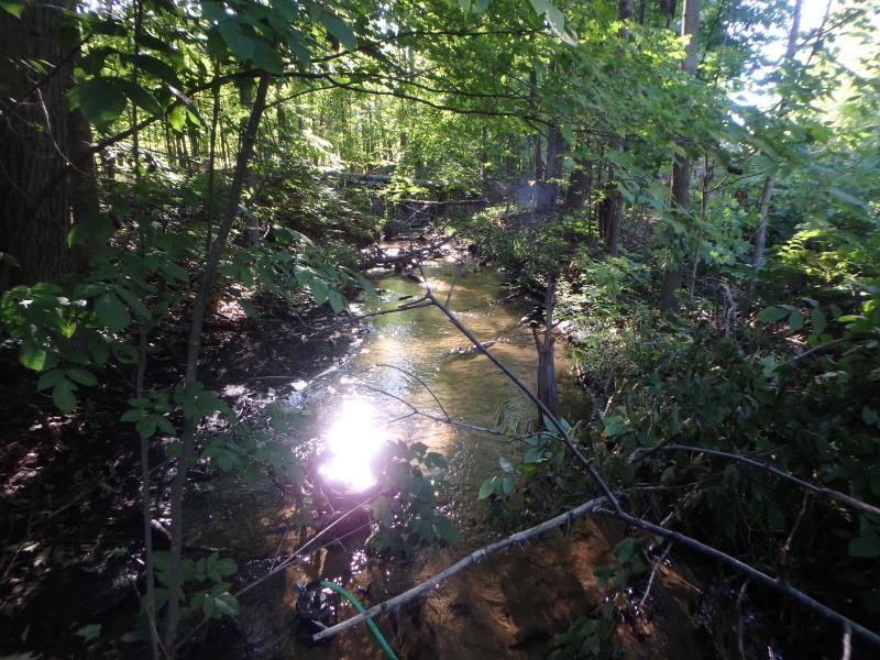
Upstream Conditions
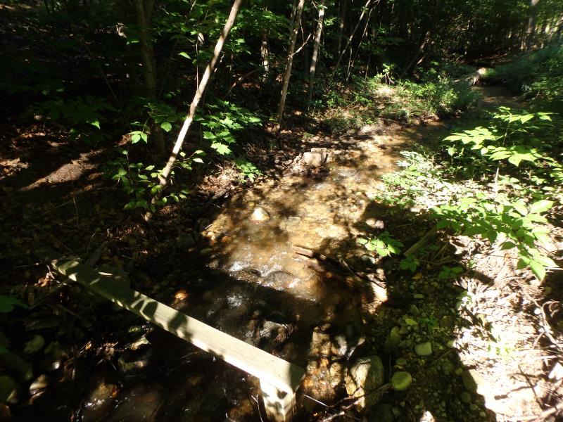
Downstream Conditions
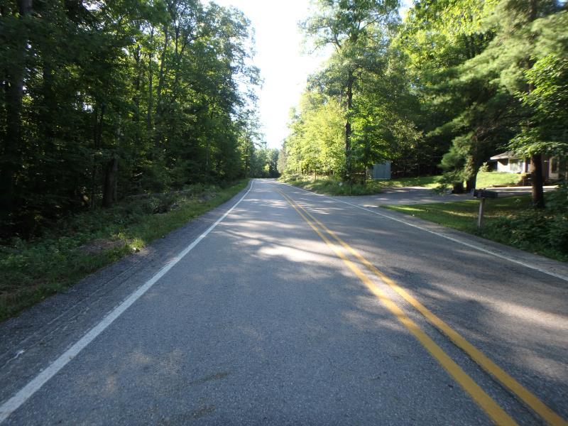
Road Approach - Left
Road Approach - Right
Crossing Information
Type of Crossing: culvert(s)
Structure Shape: Round
Inlet Type: Projecting
Outlet Type: At Stream Grade
Structure Material: Metal
Structure Substrate: Sand
General Conditions: Good
Structure Interior: corrugated
Dimensions of Structure: Length 58 ft.
, Width 2 ft.
, Height 2 ft.
Structure Inlet
Water Depth: 0.3 ft.
Embedded Depth of Structure: 0.3 ft.
Water Velocity*: 1.6 ft./sec.
Structure Outlet
Water Depth: 0.5 ft.
Embedded Depth of Structure: 0.2 ft.
Water Velocity*: 1.6 ft./sec.
*Water Velocities were measured 0.2 ft. below Surface
(with Meter)
Stream Information
Stream Flow: Less than 1/2 Bankfull
Riffle Information
Water Depth: 0.3 ft.
Bankfull Width: 6.8 ft.
Wetted Width: 4.4 ft.
Water Velocity: 2 ft./sec.
(Measured with Meter)
Dominant Substrate: Gravel
Road Information
Paved
County Road
Road Condition: Good
Road Width at Culvert: 27 ft.
Location of Low Point: Other
Runoff Path: Roadway
Embankments
Upstream
Fill Depth: 5.5 ft.
Slope: 1:1
Downstream
Fill Depth: 5.5 ft.
Slope: 1:2
Approaches
Left Approach
Length: 500 ft.
Slope: 1% to 5%
Vegetation: Heavy
LS Factor: 0.5
Erosion: 0.2231 tons/year
Right Approach
Length: 25 ft.
Slope: Less Than 1%
Vegetation: Heavy
LS Factor: 0.05
Erosion: 0.0011 tons/year
Erosion Information
Total Erosion at Crossing: 0.2243 tons/year
Summary Information
Fish Passability 0.9
These non-native species were observerd at this site: Queen Anne's Lace
�