Road Stream Crossing Site GTBAY_ANTC002
East Bay Shoreline & Tributaries Watershed, Antrim Creek
Brant Rd
Banks Twp,
Antrim County
Information collected by:
Site Location
GPS Coordinates: 45.174303
, -85.3667
T32N
R9W
Sec 14
Owned by Private
Fish Passability 0.5
Total Erosion: 0.1757 tons/year
Severity: Moderate
Year Inventoried: 2020
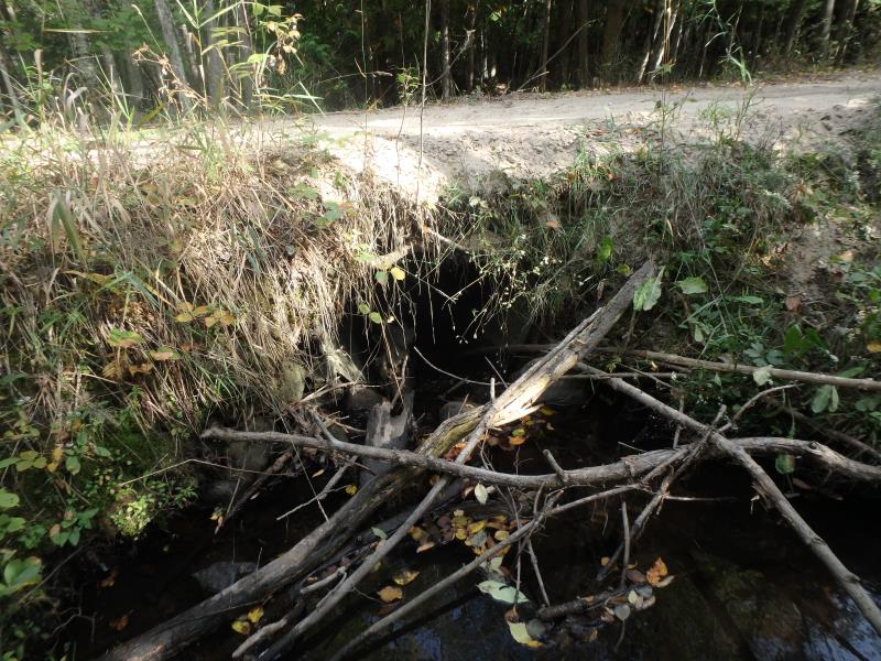
Inlet
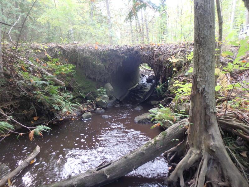
Outlet
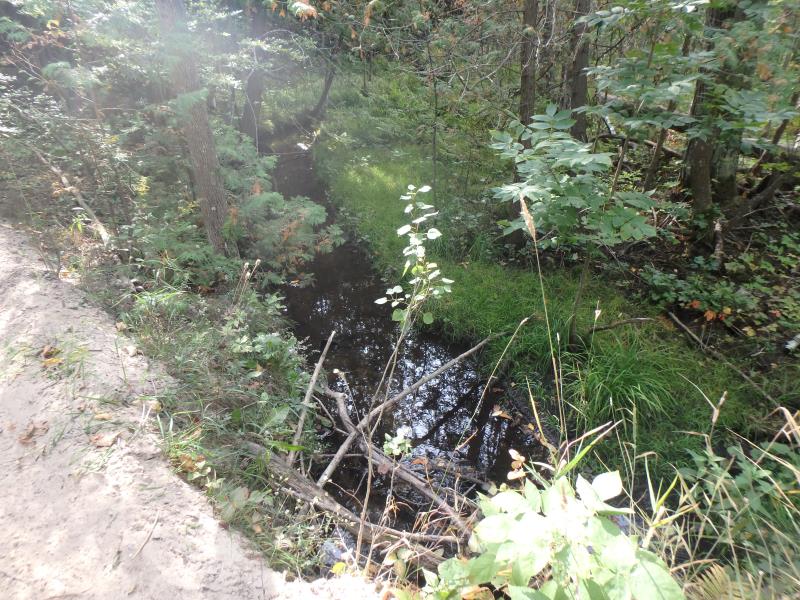
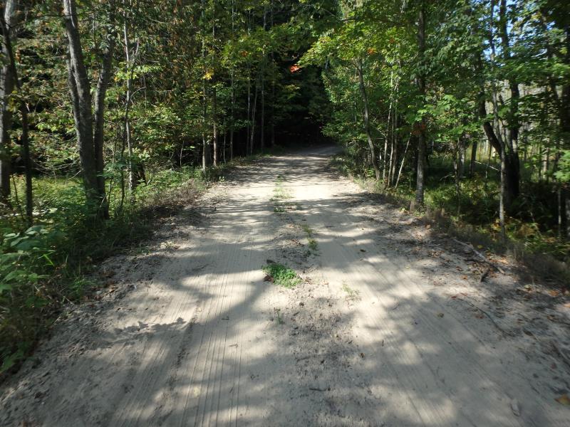
Upstream Conditions
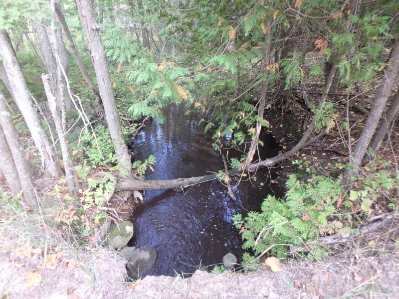
Downstream Conditions
Road Approach - Left
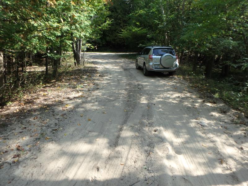
Road Approach - Right
Crossing Information
Type of Crossing: culvert(s)
Structure Shape: Round
Inlet Type: Projecting
Outlet Type: At Stream Grade
Structure Material: Metal
Structure Substrate: None
General Conditions: Fair
Structure Interior: smooth
Dimensions of Structure: Length 14 ft.
, Width 3.5 ft.
, Height 3.5 ft.
Structure Inlet
Water Depth: 0.2 ft.
Embedded Depth of Structure: 0 ft.
Water Velocity*: 1 ft./sec.
Structure Outlet
Water Depth: 0.2 ft.
Embedded Depth of Structure: 0 ft.
Water Velocity*: 2.8 ft./sec.
*Water Velocities were measured 0.1 ft. below Surface
(with Meter)
Stream Information
Stream Flow: Less than 1/2 Bankfull
Riffle Information
Water Depth: 0.2 ft.
Bankfull Width: 6.2 ft.
Wetted Width: 5.5 ft.
Water Velocity: 0.7 ft./sec.
(Measured with Meter)
Dominant Substrate: Sand
Road Information
Sand
Private Road
Road Condition: Poor
Road Width at Culvert: 12 ft.
Location of Low Point: Other
Runoff Path: Ditch
Embankments
Upstream
Fill Depth: 0.5 ft.
Slope: Vertical
Downstream
Fill Depth: 0.8 ft.
Slope: Vertical
Approaches
Left Approach
Length: 25 ft.
Slope: Less Than 1%
Vegetation: Heavy
LS Factor: 0.05
Erosion: 0.0041 tons/year
Right Approach
Length: 110 ft.
Slope: 1% to 5%
Vegetation: Heavy
LS Factor: 0.384
Erosion: 0.1396 tons/year
Erosion Information
Total Erosion at Crossing: 0.1757 tons/year
Extent of Erosion: Moderate
Location of Erosion | Erosion Dimensions | Eroded Material | Material Eroded | Total Erosion | ||
facing downstream | Length | Width | Depth | Reaching Stream? | (tons/year) | |
Right Upstream Embankment |
12 ft. |
1 ft. |
0.2 ft. |
yes |
Sand |
0.0185 |
Right Downstream Embankment |
10 ft. |
0.6 ft. |
0.2 ft. |
yes |
Sandy Loam |
0.0134 |
Summary Information
Fish Passability 0.5
�