Road Stream Crossing Site GTBAY_BC006
East Bay Shoreline & Tributaries Watershed, Baker Creek
Tart Trail
Acme Twp,
Grand Traverse County
Information collected by:
Site Location
GPS Coordinates: 44.750373
, -85.522893
T27N
R10W
Sec 09
Owned by State
Private
Private
Fish Passability 0.9
Total Erosion: 0.0007 tons/year
Severity: Minor
Year Inventoried: 2020
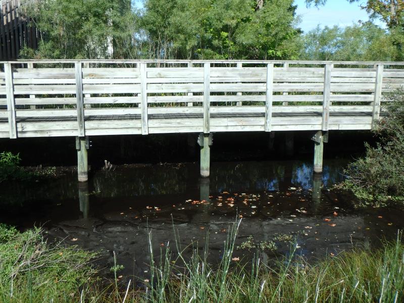
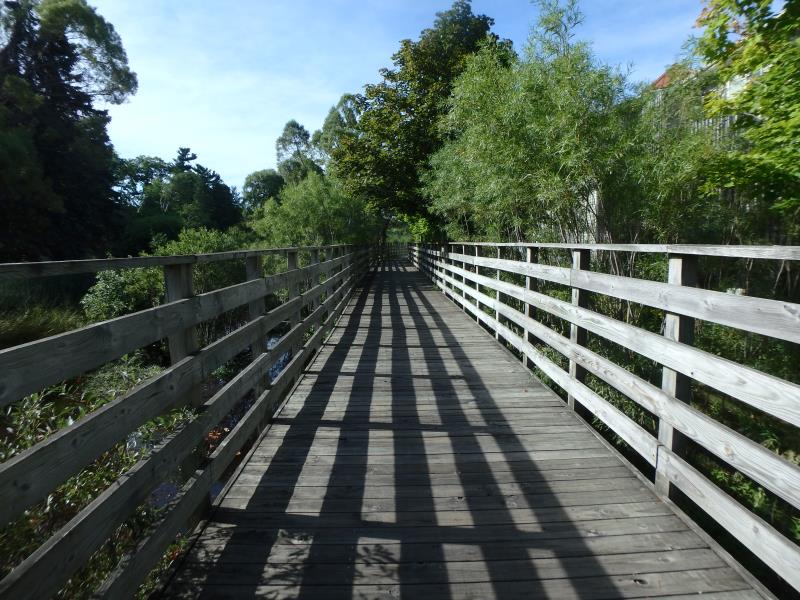
Inlet
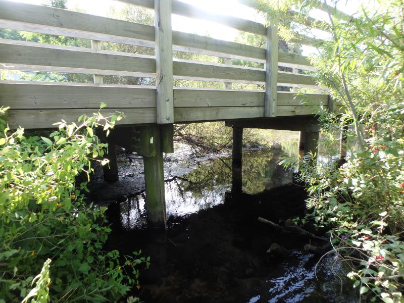
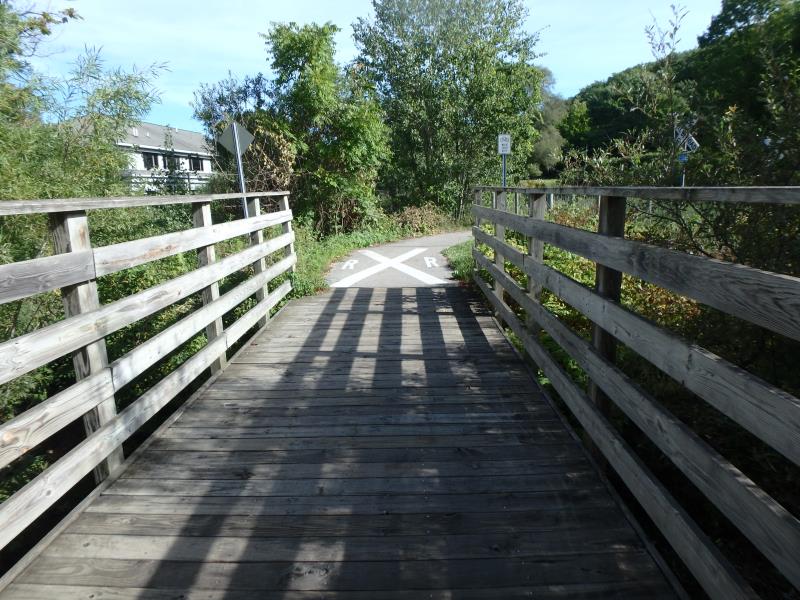
Outlet
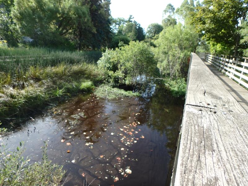
Upstream Conditions
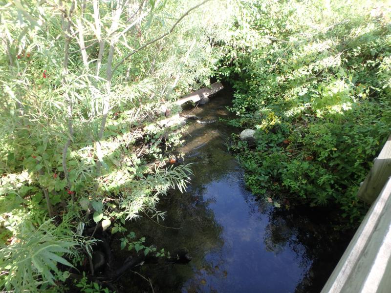
Downstream Conditions
Road Approach - Left
Road Approach - Right
Crossing Information
Type of Crossing: Bridge
Structure Shape: Open Bottom Square/Rectangle
Inlet Type: Headwall
Outlet Type: At Stream Grade
Structure Material: Wood
Structure Substrate: Sand
General Conditions: Good
Structure Interior: smooth
Dimensions of Structure: Length 8 ft.
, Width 40 ft.
, Height 5 ft.
Structure Inlet
Water Depth: 0.9 ft.
Embedded Depth of Structure: 0 ft.
Water Velocity*: 0.6 ft./sec.
Structure Outlet
Water Depth: 0.9 ft.
Embedded Depth of Structure: 0 ft.
Water Velocity*: 0.6 ft./sec.
*Water Velocities were measured 0.5 ft. below Surface
(with Meter)
Additional Comments
Trail spans over large lowland area including where stream crosses at some point
Stream Information
Stream Flow: Less than 1/2 Bankfull
Riffle Information
Water Depth: 0.2 ft.
Bankfull Width: 8 ft.
Wetted Width: 4.3 ft.
Water Velocity: 2.3 ft./sec.
(Measured with Meter)
Dominant Substrate: Gravel
Road Information
Paved
Other Road
Road Condition: Good
Road Width at Culvert: 8 ft.
Location of Low Point: Other
Runoff Path: Ditch
Fill Depth: 0 ft.
Slope: Vertical
Fill Depth: 0 ft.
Slope: Vertical
Approaches
Left Approach
Length: 25 ft.
Slope: Less Than 1%
Vegetation: Partial
LS Factor: 0.05
Erosion: 0.0003 tons/year
Right Approach
Length: 25 ft.
Slope: Less Than 1%
Vegetation: Partial
LS Factor: 0.05
Erosion: 0.0003 tons/year
Erosion Information
Total Erosion at Crossing: 0.0007 tons/year
Summary Information
Fish Passability 0.9
�