Road Stream Crossing Site GTBAY_BC010
East Bay Shoreline & Tributaries Watershed, Baker Creek
5 Mile Rd
East Bay Twp,
Grand Traverse County
Information collected by:
Site Location
GPS Coordinates: 44.732347
, -85.518819
T27N
R10W
Sec 16
Owned by Private
Fish Passability 0.5
Total Erosion: 0.2671 tons/year
Severity: Moderate
Year Inventoried: 2020
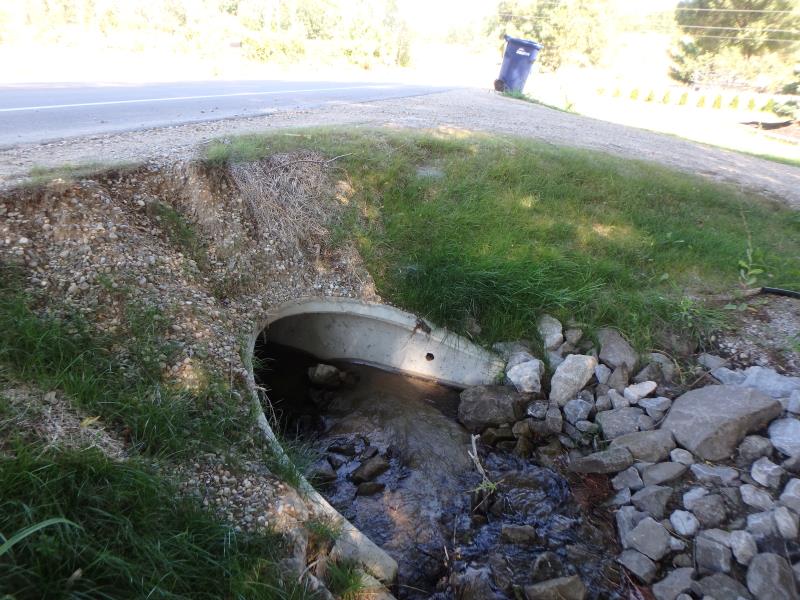
Inlet
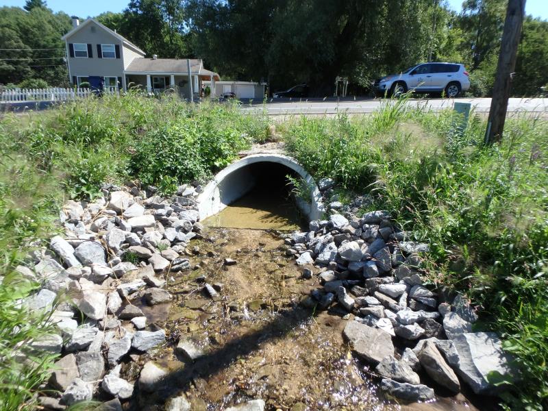
Outlet
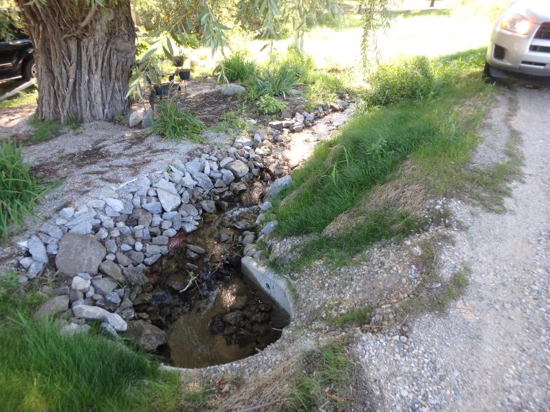
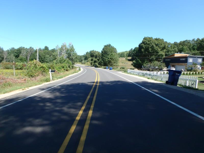
Upstream Conditions
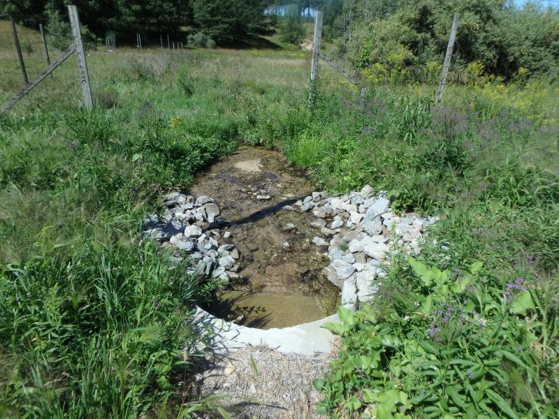
Downstream Conditions
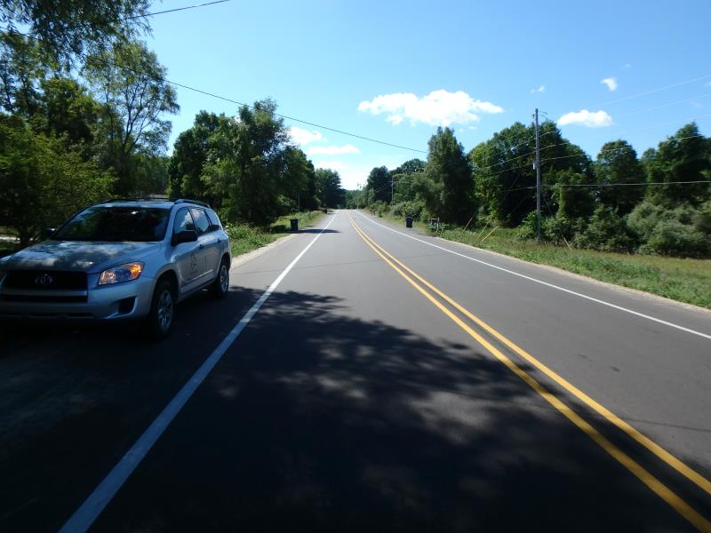
Road Approach - Left
Road Approach - Right
Crossing Information
Type of Crossing: culvert(s)
Structure Shape: Ellipse
Inlet Type: Apron
Outlet Type: Outlet Apron
Structure Material: Concrete
Structure Substrate: None
General Conditions: New
Structure Interior: smooth
Dimensions of Structure: Length 47 ft.
, Width 2 ft.
, Height 1.5 ft.
Structure Inlet
Water Depth: 0.2 ft.
Embedded Depth of Structure: 0 ft.
Water Velocity*: 1.4 ft./sec.
Structure Outlet
Water Depth: 0.1 ft.
Embedded Depth of Structure: 0 ft.
Water Velocity*: 1.4 ft./sec.
*Water Velocities were measured 0.1 ft. below Surface
(with Meter)
Stream Information
Stream Flow: Less than 1/2 Bankfull
Riffle Information
Water Depth: 0.2 ft.
Bankfull Width: 1.6 ft.
Wetted Width: 1.6 ft.
Water Velocity: 2 ft./sec.
(Measured with Meter)
Dominant Substrate: Gravel
Road Information
Paved
County Road
Road Condition: Good
Road Width at Culvert: 32 ft.
Location of Low Point: Other
Runoff Path: Ditch
Embankments
Upstream
Fill Depth: 2.2 ft.
Slope: 1:1
Downstream
Fill Depth: 0.8 ft.
Slope: More than 1:2
Approaches
Left Approach
Length: 500 ft.
Slope: 1% to 5%
Vegetation: Heavy
LS Factor: 0.5
Erosion: 0.2645 tons/year
Right Approach
Length: 50 ft.
Slope: Less Than 1%
Vegetation: Partial
LS Factor: 0.05
Erosion: 0.0026 tons/year
Erosion Information
Total Erosion at Crossing: 0.2671 tons/year
Location of Erosion | Erosion Dimensions | Eroded Material | Material Eroded | Total Erosion | ||
facing downstream | Length | Width | Depth | Reaching Stream? | (tons/year) | |
Right Upstream Embankment |
3 ft. |
2 ft. |
0.3 ft. |
yes |
Gravel |
|
Summary Information
Fish Passability 0.5
�