Road Stream Crossing Site GTBAY_BCE004
East Bay Shoreline & Tributaries Watershed, Baker Creek East
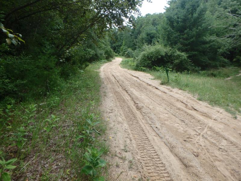
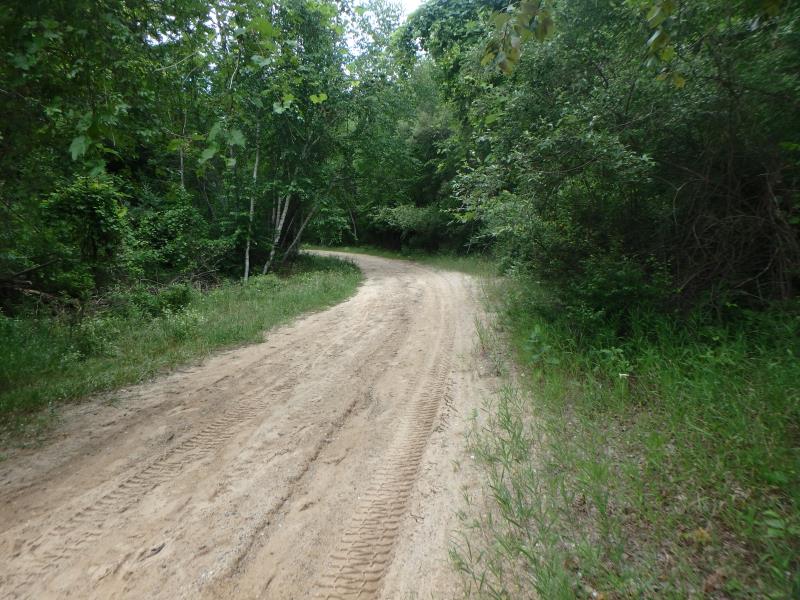
Pipeline Rd
Acme Twp,
Grand Traverse County
Information collected by:
Site Location
GPS Coordinates: 44.754424
, -85.508981
T27N
R10W
Sec 10
Owned by Private
Fish Passability 0
Total Erosion: 0.4559 tons/year
Severity: Severe
Year Inventoried: 2020
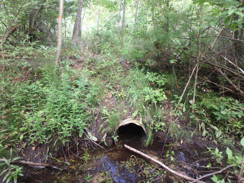
Inlet
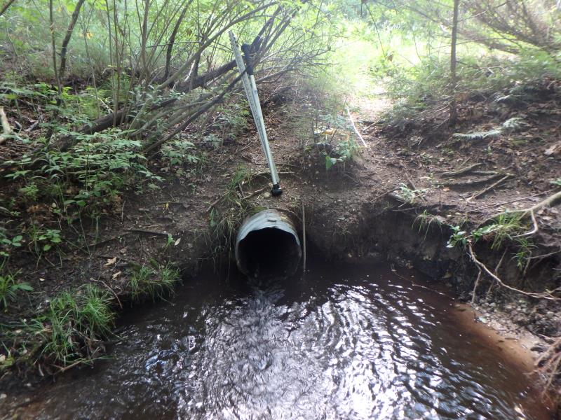
Outlet
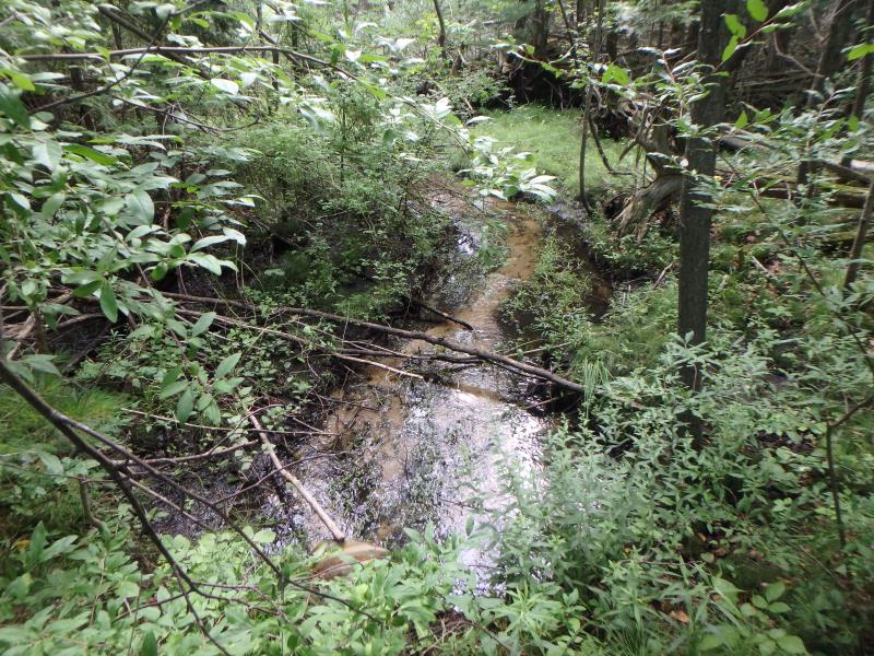
Upstream Conditions
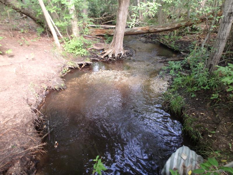
Downstream Conditions
Road Approach - Left
Road Approach - Right
Crossing Information
Type of Crossing: culvert(s)
Structure Shape: Round
Inlet Type: Projecting
Outlet Type: At Stream Grade
Structure Material: Metal
Structure Substrate: None
General Conditions: Fair
Structure Interior: corrugated
Structure is Rusted through
Dimensions of Structure: Length 81 ft.
, Width 1.5 ft.
, Height 1.5 ft.
Structure Inlet
Water Depth: 0.3 ft.
Embedded Depth of Structure: 0 ft.
Water Velocity*: 2.1 ft./sec.
Structure Outlet
Water Depth: 0.2 ft.
Embedded Depth of Structure: 0 ft.
Water Velocity*: 3.5 ft./sec.
*Water Velocities were measured 0.2 ft. below Surface
(with Meter)
Stream Information
Stream Flow: Less than 1/2 Bankfull
Scour Pool: Length 10 ft.
, Width 7.6 ft.
, Depth 1 ft.
Riffle Information
Water Depth: 0.4 ft.
Bankfull Width: 12 ft.
Wetted Width: 3.3 ft.
Water Velocity: 0.5 ft./sec.
(Measured with Meter)
Dominant Substrate: Sand
Road Information
Sand
Other Road
Road Condition: Poor
Road Width at Culvert: 12 ft.
Location of Low Point: Other
Runoff Path: Ditch
Embankments
Upstream
Fill Depth: 2.5 ft.
Slope: More than 1:2
Downstream
Fill Depth: 4 ft.
Slope: More than 1:2
Approaches
Left Approach
Length: 250 ft.
Slope: 1% to 5%
Vegetation: Heavy
LS Factor: 0.44
Erosion: 0.3636 tons/year
Right Approach
Length: 50 ft.
Slope: Less Than 1%
Vegetation: Heavy
LS Factor: 0.05
Erosion: 0.0083 tons/year
Erosion Information
Total Erosion at Crossing: 0.4559 tons/year
Extent of Erosion: Moderate
Notes: Culvert rusted through at outlet causing erosion around pipe
Location of Erosion | Erosion Dimensions | Eroded Material | Material Eroded | Total Erosion | ||
facing downstream | Length | Width | Depth | Reaching Stream? | (tons/year) | |
Left Downstream Embankment |
6 ft. |
5 ft. |
1.5 ft. |
yes |
Gravelly Loam |
0.063 |
Right Downstream Embankment |
2 ft. |
1 ft. |
1.5 ft. |
yes |
Gravelly Loam |
0.021 |
Summary Information
Fish Passability 0
Erosion is an area of concern for this site.
Erosion and condition of culvert
A future visit to this site is recommended. Replace culvert
These non-native species were observerd at this site: Autumn Olive, Spotted Knapweed
�