Road Stream Crossing Site GTBAY_BCE005
East Bay Shoreline & Tributaries Watershed, Baker Creek East
Powerline Trail
East Bay Twp,
Grand Traverse County
Information collected by:
Site Location
GPS Coordinates: 44.753274
, -85.506406
T27N
R10W
Sec 10
Owned by Private
Fish Passability 0.9
Total Erosion: 0.8364 tons/year
Severity: Moderate
Year Inventoried: 2020
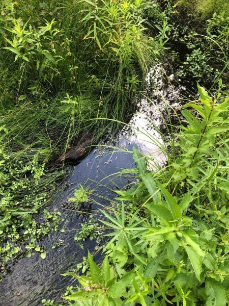
Inlet
Outlet
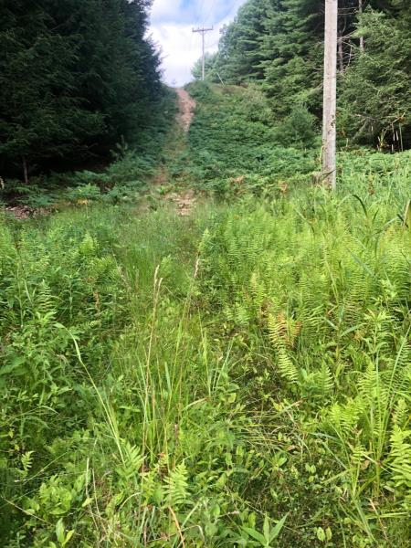
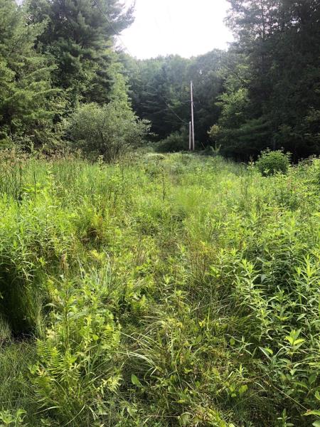
Upstream Conditions
Downstream Conditions
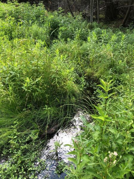
Road Approach - Left
Road Approach - Right
Crossing Information
Type of Crossing: Ford
Inlet Type: Other
Outlet Type: Other
Structure Substrate: Sand
General Conditions: Poor
Dimensions of Structure: Length 8 ft.
, Width 3.5 ft.
, Height 0 ft.
Structure Inlet
Water Depth: 0.3 ft.
Embedded Depth of Structure: 0 ft.
Water Velocity*: 0.5 ft./sec.
Structure Outlet
Water Depth: 0.2 ft.
Embedded Depth of Structure: 0 ft.
Water Velocity*: 1.2 ft./sec.
*Water Velocities were measured 0.2 ft. below Surface
(with Meter)
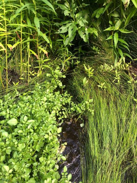
Stream Information
Stream Flow: Less than 1/2 Bankfull
Riffle Information
Water Depth: 0.3 ft.
Bankfull Width: 6 ft.
Wetted Width: 1.7 ft.
Water Velocity: 0.7 ft./sec.
(Measured with Meter)
Dominant Substrate: Organics
Road Information
Native Surface
Other Road
Road Condition: Poor
Road Width at Culvert: 6 ft.
Location of Low Point: At Stream
Runoff Path: Roadway
Fill Depth: 0 ft.
Slope: Vertical
Fill Depth: 0 ft.
Slope: Vertical
Approaches
Left Approach
Length: 300 ft.
Slope: 6% to 10%
Vegetation: Heavy
LS Factor: 1.4
Erosion: 0.6942 tons/year
Right Approach
Length: 200 ft.
Slope: 1% to 5%
Vegetation: Heavy
LS Factor: 0.43
Erosion: 0.1421 tons/year
Erosion Information
Total Erosion at Crossing: 0.8364 tons/year
Summary Information
Fish Passability 0.9
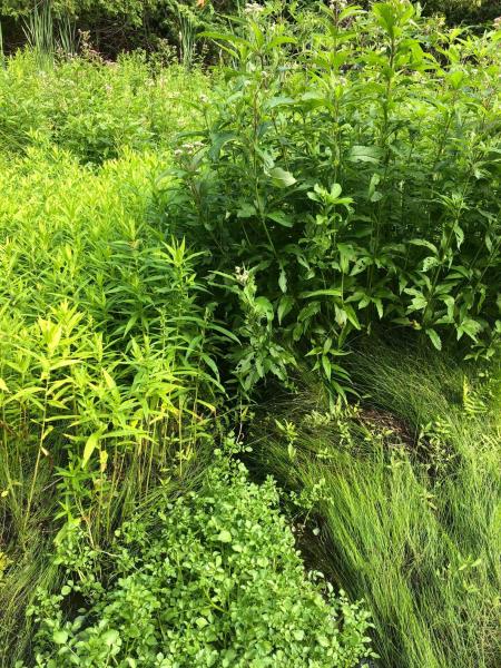
These non-native species were observerd at this site: Spotted Knapweed
�