Road Stream Crossing Site GTBAY_BRD001
Boardman River Watershed, N Branch Boardman River
Kettle Lake Rd/Lynn St
Kalkaska Twp,
Kalkaska County
Information collected by:
Site Location
GPS Coordinates: 44.730789
, -85.165087
T27N
R7W
Sec 16
Owned by Local Government
Fish Passability 0.9
Total Erosion: 0.0069 tons/year
Severity: Minor
Year Inventoried: 2020
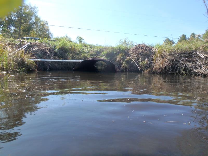
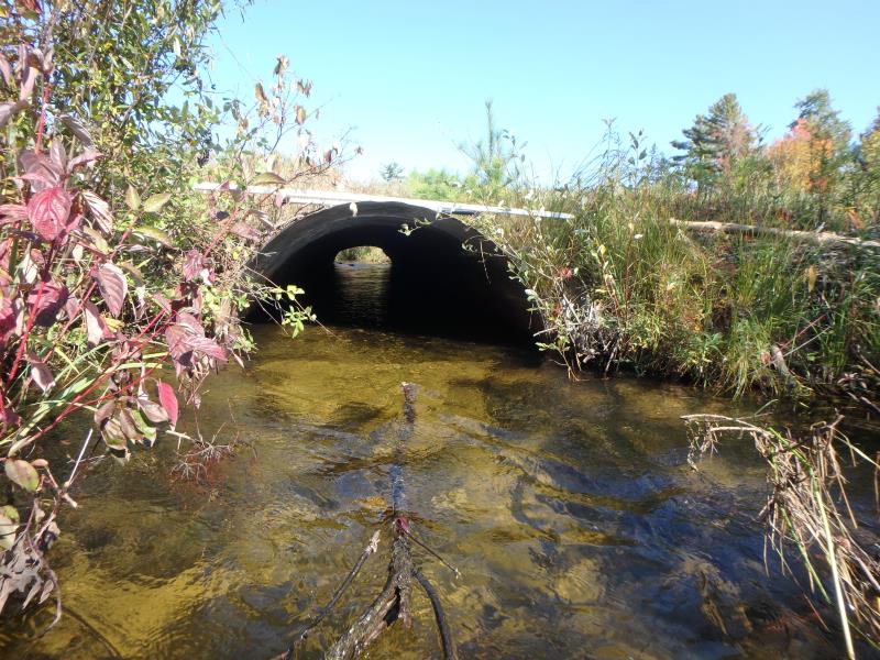
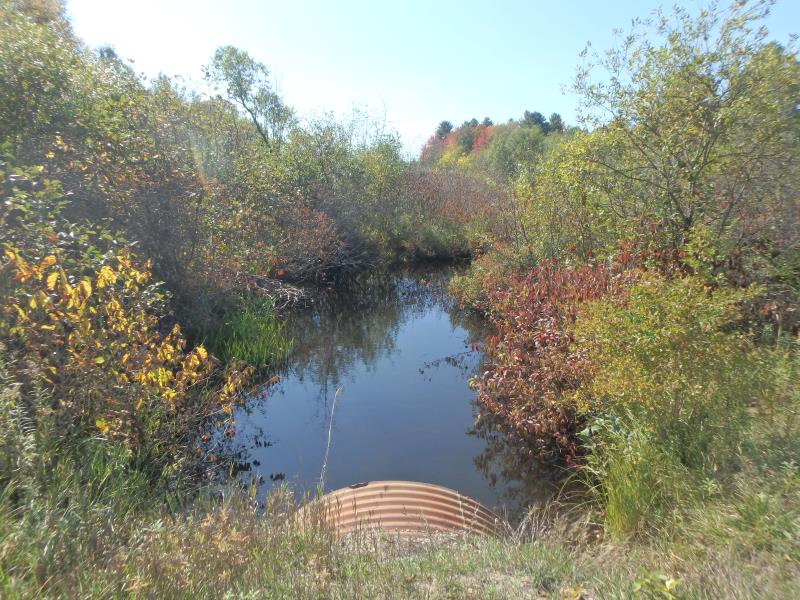
Inlet
Inlet
Inlet
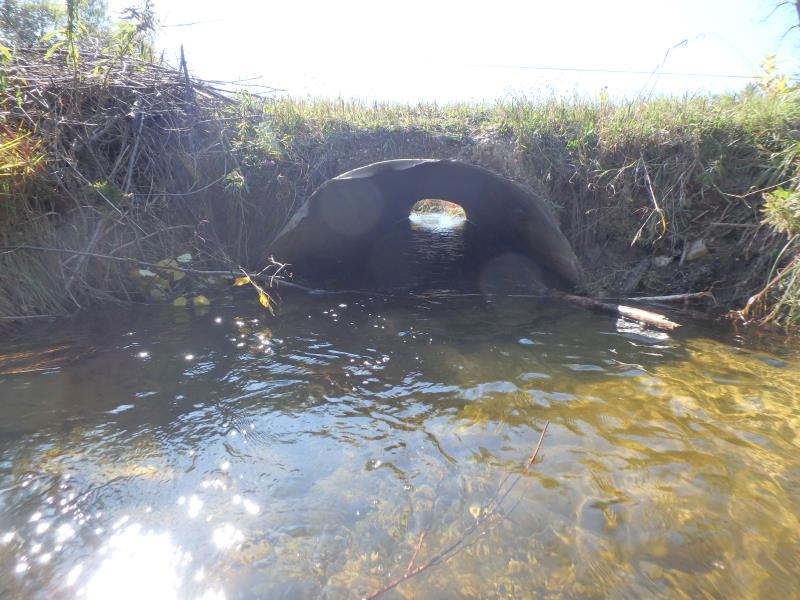
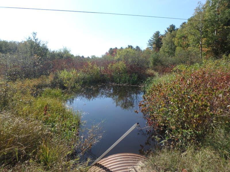
Outlet
Outlet
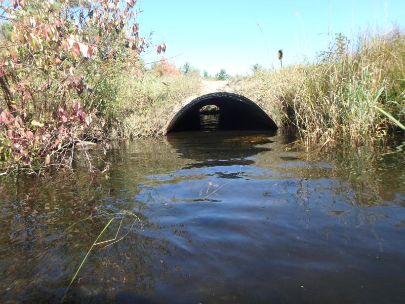
Outlet
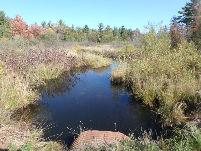
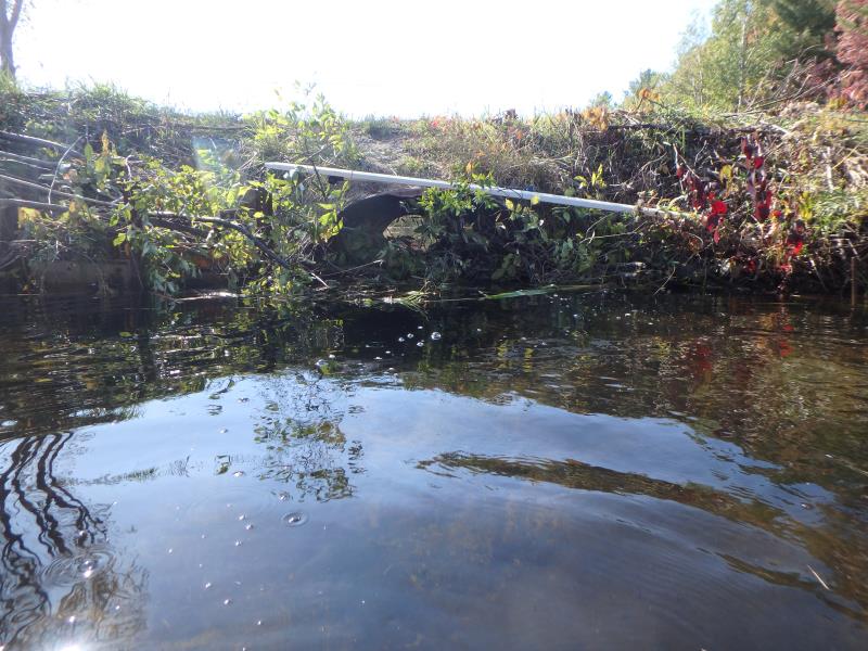
Upstream Conditions
Upstream Conditions
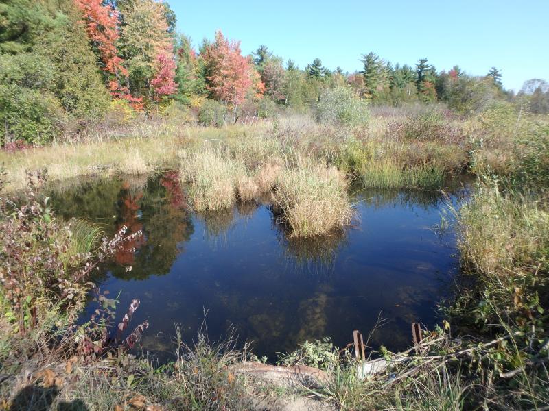
Upstream Conditions
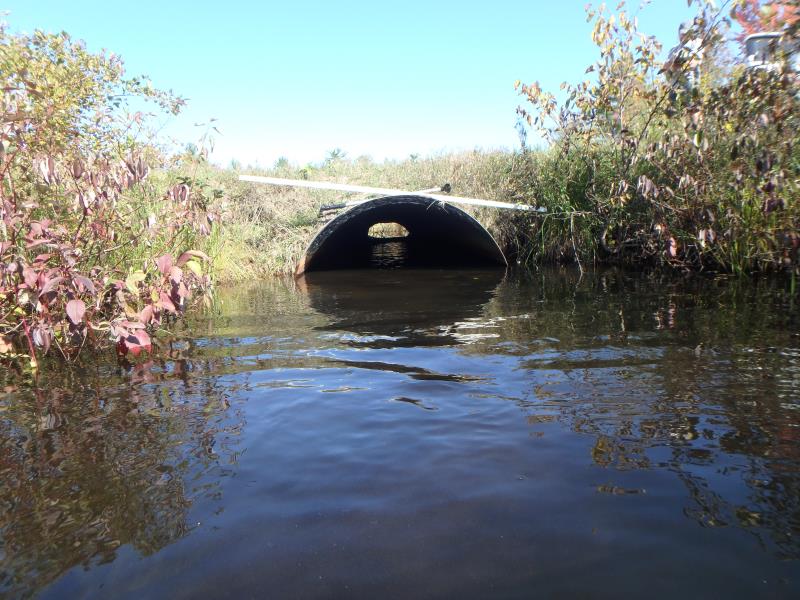
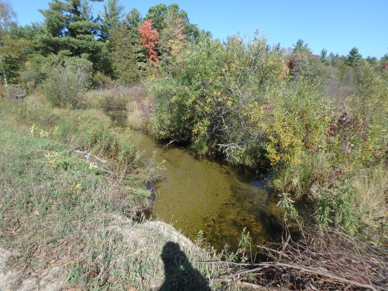
Downstream Conditions
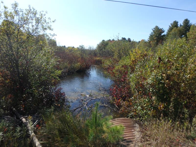
Downstream Conditions
Downstream Conditions
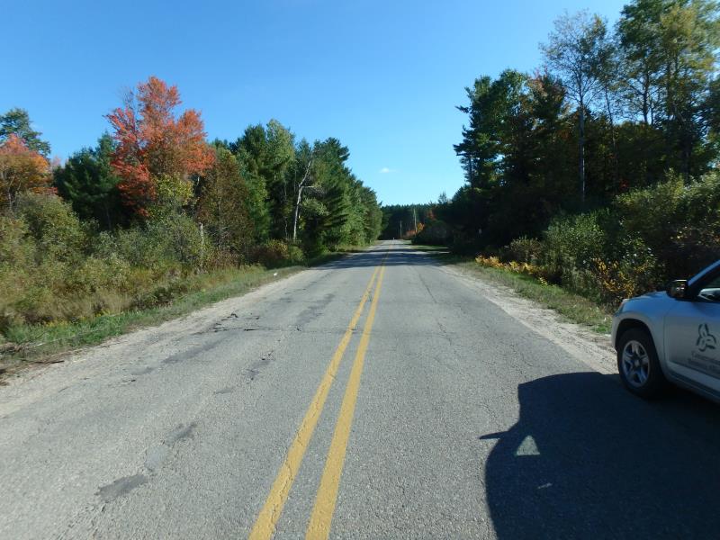
Road Approach - Left
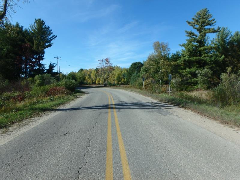
Road Approach - Right
Crossing Information
Type of Crossing: culvert(s)
Number of Structures: 3
Structure Shape: Ellipse
Inlet Type: Projecting
Outlet Type: At Stream Grade
Structure Material: Metal
Structure Substrate: Mixture
General Conditions: Fair
Multiple Culverts/Spans | ||||
Culvert/Span | Width | Length | Height | Material |
1 |
5.2 ft. |
45 ft. |
3.6 ft. |
Metal |
2 |
5.5 ft. |
45 ft. |
3.7 ft. |
Metal |
3 |
5.4 ft. |
45 ft. |
3.6 ft. |
Metal |
Structure Interior: corrugated
Dimensions of Structure: Length 45 ft.
, Width 5.2 ft.
, Height 3.7 ft.
Structure Inlet
Water Depth: 1.9 ft.
Embedded Depth of Structure: 0 ft.
Water Velocity*: 0.5 ft./sec.
Structure Outlet
Water Depth: 1.7 ft.
Embedded Depth of Structure: 0.2 ft.
Water Velocity*: 0.2 ft./sec.
*Water Velocities were measured 0.5 ft. below Surface
(with Meter)
Stream Information
Stream Flow: Less than Bankfull
Riffle Information
Water Depth: 1.5 ft.
Bankfull Width: 150 ft.
Wetted Width: 45 ft.
Water Velocity: 0.4 ft./sec.
(Measured with Meter)
Dominant Substrate: Sand
Road Information
Paved
County Road
Road Condition: Poor
Road Width at Culvert: 21 ft.
Location of Low Point: At Stream
Runoff Path: Ditch
Embankments
Upstream
Fill Depth: 2 ft.
Slope: 1:2
Downstream
Fill Depth: 2 ft.
Slope: More than 1:2
Approaches
Left Approach
Length: 100 ft.
Slope: Less Than 1%
Vegetation: Partial
LS Factor: 0.05
Erosion: 0.0035 tons/year
Right Approach
Length: 100 ft.
Slope: Less Than 1%
Vegetation: Partial
LS Factor: 0.05
Erosion: 0.0035 tons/year
Erosion Information
Total Erosion at Crossing: 0.0069 tons/year
Location of Erosion | Erosion Dimensions | Eroded Material | Material Eroded | Total Erosion | ||
facing downstream | Length | Width | Depth | Reaching Stream? | (tons/year) | |
Right Upstream Embankment |
3 ft. |
3 ft. |
3 ft. |
yes |
Gravelly Loam |
|
Left Upstream Embankment |
2 ft. |
3 ft. |
1 ft. |
yes |
Gravelly Loam |
|
Right Downstream Embankment |
6 ft. |
2 ft. |
1 ft. |
yes |
Gravelly Loam |
|
Left Downstream Embankment |
2 ft. |
3 ft. |
1 ft. |
yes |
Gravelly Loam |
|
Summary Information
Fish Passability 0.9
These non-native species were observerd at this site: Spotted Knappweed
�