Road Stream Crossing Site GTBAY_BRD002
Boardman River Watershed, N Branch Boardman River
Old M-66/ Court St
Kalkaska Twp,
Kalkaska County
Information collected by:
Site Location
GPS Coordinates: 44.725425
, -85.174759
T27N
R7W
Sec 20
Owned by Local Government
Fish Passability 0.9
Total Erosion: 0.0089 tons/year
Severity: Minor
Year Inventoried: 2020
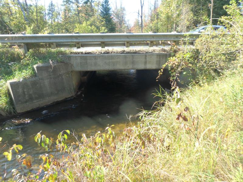
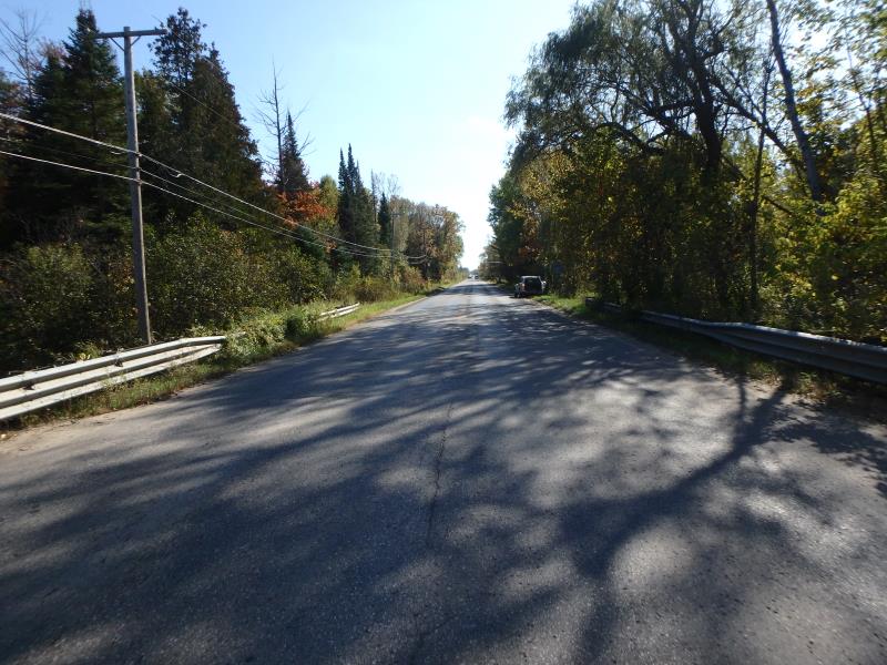
Inlet
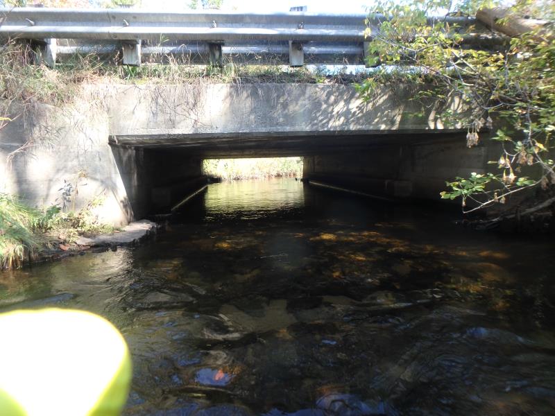
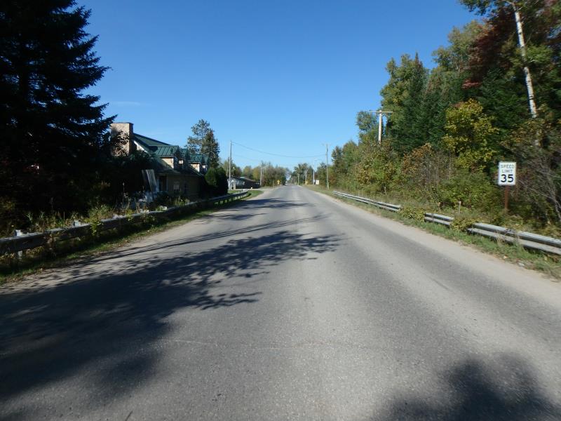
Outlet
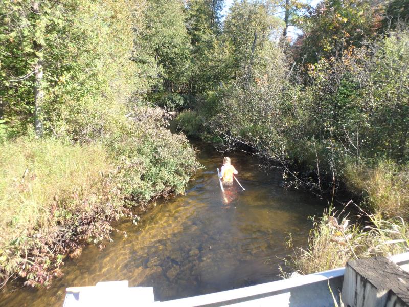
Upstream Conditions
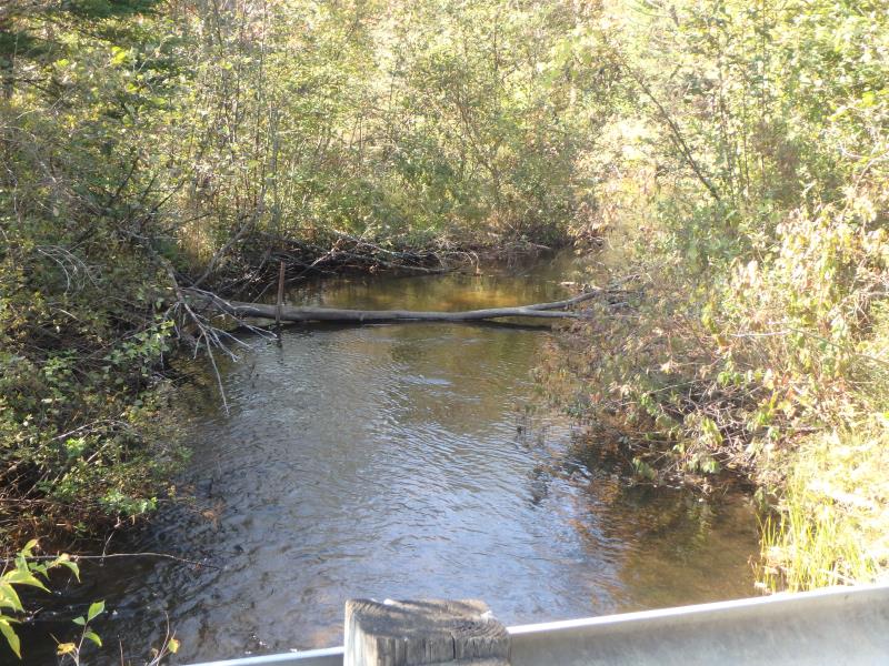
Downstream Conditions
Road Approach - Left
Road Approach - Right
Crossing Information
Type of Crossing: Bridge
Structure Shape: Open Bottom Square/Rectangle
Inlet Type: Wingwall 10-30 Degree
Outlet Type: At Stream Grade
Structure Material: Concrete
Structure Substrate: Mixture
General Conditions: Good
Dimensions of Structure: Length 33 ft.
, Width 20 ft.
, Height 5 ft.
Structure Inlet
Water Depth: 1.5 ft.
Embedded Depth of Structure: 0 ft.
Water Velocity*: 1.6 ft./sec.
Structure Outlet
Water Depth: 1.2 ft.
Embedded Depth of Structure: 0 ft.
Water Velocity*: 1.1 ft./sec.
*Water Velocities were measured 0.5 ft. below Surface
(with Meter)
Stream Information
Stream Flow: Less than Bankfull
Riffle Information
Water Depth: 1.5 ft.
Bankfull Width: 20 ft.
Wetted Width: 14 ft.
Water Velocity: 0.6 ft./sec.
(Measured with Meter)
Dominant Substrate: Gravel
Road Information
Paved
State Road
Road Condition: Good
Road Width at Culvert: 27 ft.
Location of Low Point: At Stream
Runoff Path: Ditch
Fill Depth: 0 ft.
Slope: Vertical
Fill Depth: 0 ft.
Slope: Vertical
Approaches
Left Approach
Length: 100 ft.
Slope: Less Than 1%
Vegetation: Heavy
LS Factor: 0.05
Erosion: 0.0045 tons/year
Right Approach
Length: 100 ft.
Slope: Less Than 1%
Vegetation: Partial
LS Factor: 0.05
Erosion: 0.0045 tons/year
Erosion Information
Total Erosion at Crossing: 0.0089 tons/year
Summary Information
Fish Passability 0.9
�