Road Stream Crossing Site GTBAY_BRD003
Boardman River Watershed, N Branch Boardman River
Court Street
Kalkaska Twp,
Kalkaska County
Information collected by:
Site Location
GPS Coordinates: 44.727404
, -85.174729
T27N
R7W
Sec 20
Owned by Local Government
Fish Passability 0.5
Total Erosion: 0.1051 tons/year
Severity: Moderate
Year Inventoried: 2020
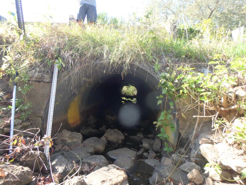
Inlet
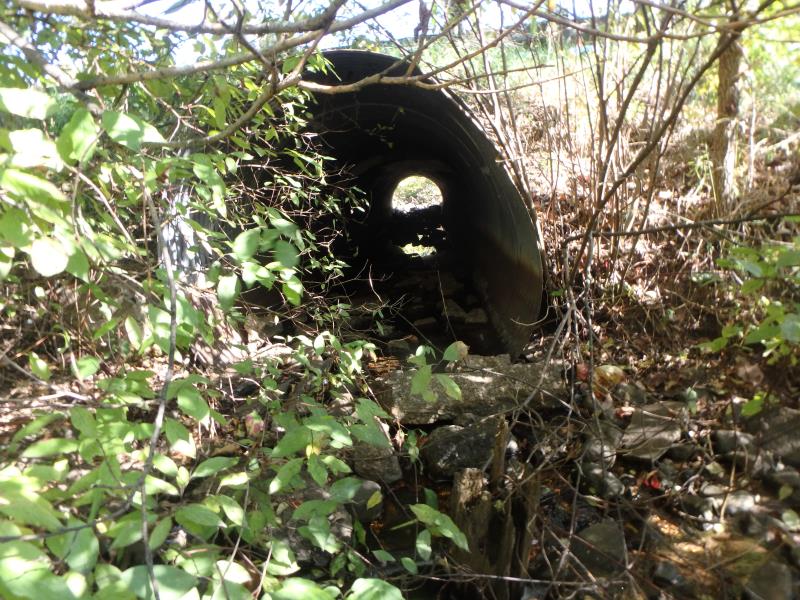
Outlet
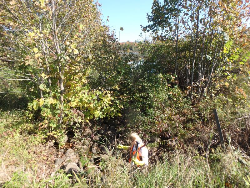
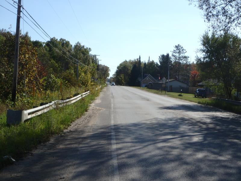
Upstream Conditions
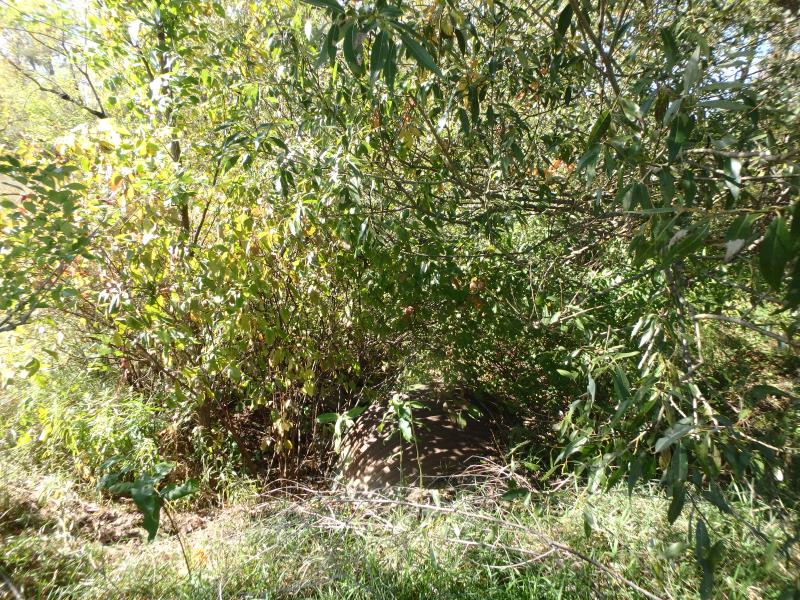
Downstream Conditions
Road Approach - Left
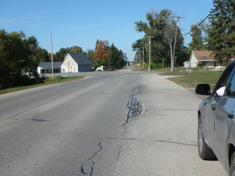
Road Approach - Right
Crossing Information
Type of Crossing: culvert(s)
Number of Structures: 1
Structure Shape: Ellipse
Inlet Type: Projecting
Outlet Type: At Stream Grade
Structure Material: Metal
Structure Substrate: Rock
General Conditions: Fair
Structure Interior: corrugated
Dimensions of Structure: Length 56 ft.
, Width 6 ft.
, Height 4.5 ft.
Structure Inlet
Water Depth: 0.2 ft.
Embedded Depth of Structure: 0.2 ft.
Water Velocity*: 1.3 ft./sec.
Structure Outlet
Water Depth: 0.1 ft.
Embedded Depth of Structure: 0.2 ft.
Water Velocity*: 1.3 ft./sec.
*Water Velocities were measured 0.5 ft. below Surface
(with Meter)
Stream Information
Stream Flow: Less than 1/2 Bankfull
Riffle Information
Water Depth: 0.7 ft.
Bankfull Width: 14 ft.
Wetted Width: 10 ft.
Water Velocity: 0.1 ft./sec.
(Measured with Meter)
Dominant Substrate: Gravel
Road Information
Paved
County Road
Road Condition: Fair
Road Width at Culvert: 30 ft.
Location of Low Point: At Stream
Runoff Path: Ditch
Embankments
Upstream
Fill Depth: 2 ft.
Slope: 1:1.5
Downstream
Fill Depth: 1.5 ft.
Slope: More than 1:2
Approaches
Left Approach
Length: 200 ft.
Slope: 1% to 5%
Vegetation: Partial
LS Factor: 0.48
Erosion: 0.0952 tons/year
Right Approach
Length: 200 ft.
Slope: Less Than 1%
Vegetation: Partial
LS Factor: 0.05
Erosion: 0.0099 tons/year
Erosion Information
Total Erosion at Crossing: 0.1051 tons/year
Summary Information
Fish Passability 0.5
�