Road Stream Crossing Site GTBAY_BRD006
Boardman River Watershed, N Branch Boardman River
Cedar Street
Kalkaska Twp,
Kalkaska County
Information collected by:
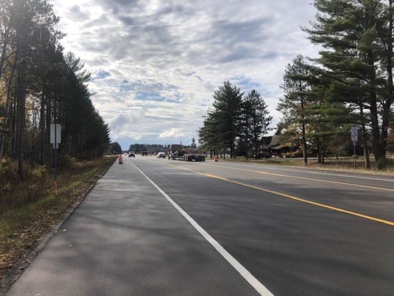
Site Location
GPS Coordinates: 44.719113
, -85.188027
T27N
R7W
Sec 20
Fish Passability 1
Total Erosion: 0.0185 tons/year
Severity: Minor
Year Inventoried: 2020
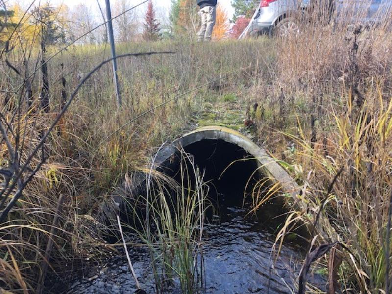
Inlet
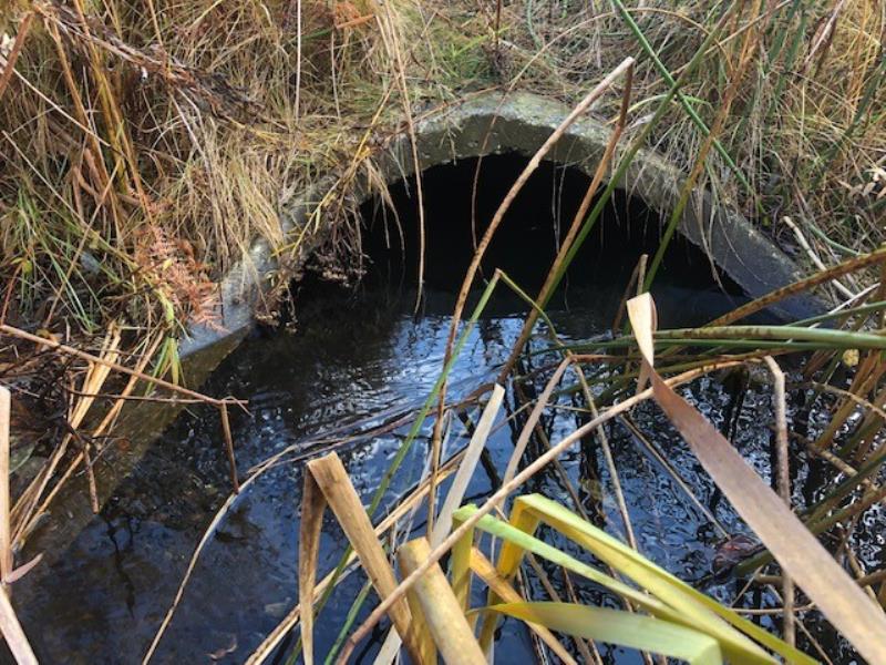
Outlet
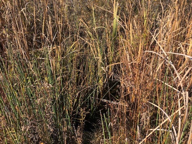
Upstream Conditions
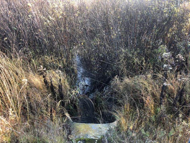
Downstream Conditions
Road Approach - Left

Road Approach - Right
Crossing Information
Type of Crossing: culvert(s)
Number of Structures: 1
Structure Shape: Pipe Arch
Inlet Type: Mitered
Outlet Type: At Stream Grade
Structure Material: Concrete
Structure Substrate: None
General Conditions: Good
Structure Interior: smooth
Dimensions of Structure: Length 100 ft.
, Width 3.5 ft.
, Height 2.2 ft.
Structure Inlet
Water Depth: 0.9 ft.
Embedded Depth of Structure: 0 ft.
Water Velocity*: 0.8 ft./sec.
Structure Outlet
Water Depth: 1.3 ft.
Embedded Depth of Structure: 0 ft.
Water Velocity*: 0.7 ft./sec.
*Water Velocities were measured at the Surface
(with Meter)
Additional Comments
Site was flagged for structure length and no substrate in the structure, however, structure looks relatively new and looks like it is in a very low sediment supply section of the system.� Given time sediment might collect in structure.� Severity score equals 10 so considered minor.
Stream Information
Stream Flow: Less than Bankfull
Riffle Information
Water Depth: 0.8 ft.
Bankfull Width: 25 ft.
Wetted Width: 5 ft.
Water Velocity: 0.4 ft./sec.
(Measured with Meter)
Dominant Substrate: Gravel
Road Information
Paved
County Road
Road Condition: Good
Road Width at Culvert: 56 ft.
Location of Low Point: Other
Runoff Path: Roadway
Embankments
Upstream
Fill Depth: 5 ft.
Slope: More than 1:2
Downstream
Fill Depth: 5 ft.
Slope: More than 1:2
Approaches
Left Approach
Length: 100 ft.
Slope: Less Than 1%
Vegetation: Heavy
LS Factor: 0.05
Erosion: 0.0093 tons/year
Right Approach
Length: 100 ft.
Slope: Less Than 1%
Vegetation: Heavy
LS Factor: 0.05
Erosion: 0.0093 tons/year
Erosion Information
Total Erosion at Crossing: 0.0185 tons/year
Summary Information
Fish Passability 1
�