Road Stream Crossing Site GTBAY_BRD012
Boardman River Watershed, Boardman River
Garfield Rd
Paradise Twp,
Grand Traverse County
Information collected by:
Site Location
GPS Coordinates: 44.636918
, -85.518205
T26N
R10W
Sec 21
Owned by Private
Fish Passability 1
Total Erosion: 0.2639 tons/year
Severity: Minor
Year Inventoried: 2020
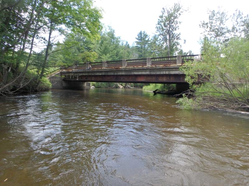
Inlet
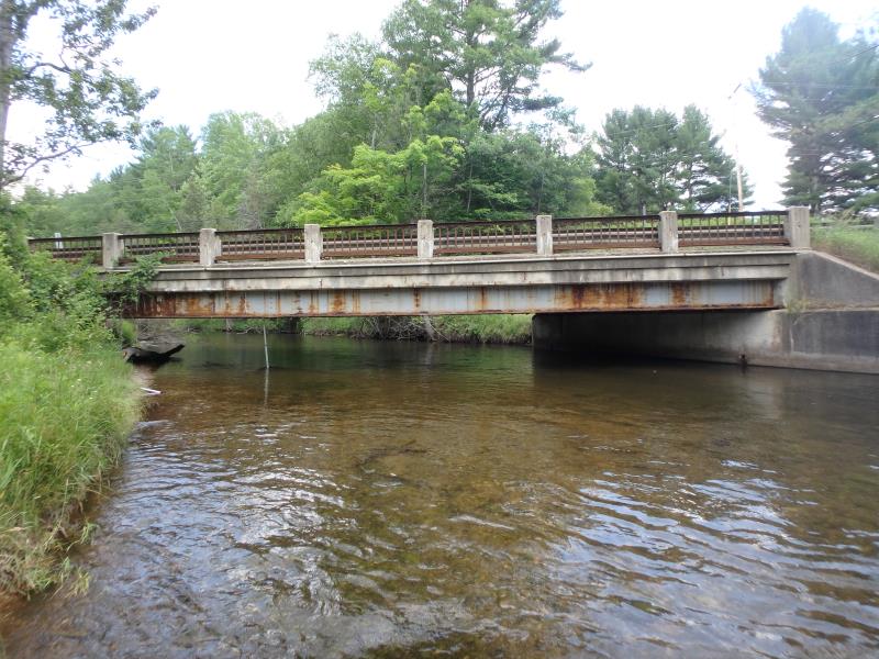
Outlet
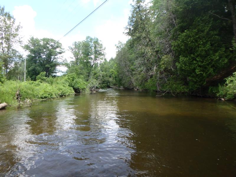
Upstream Conditions
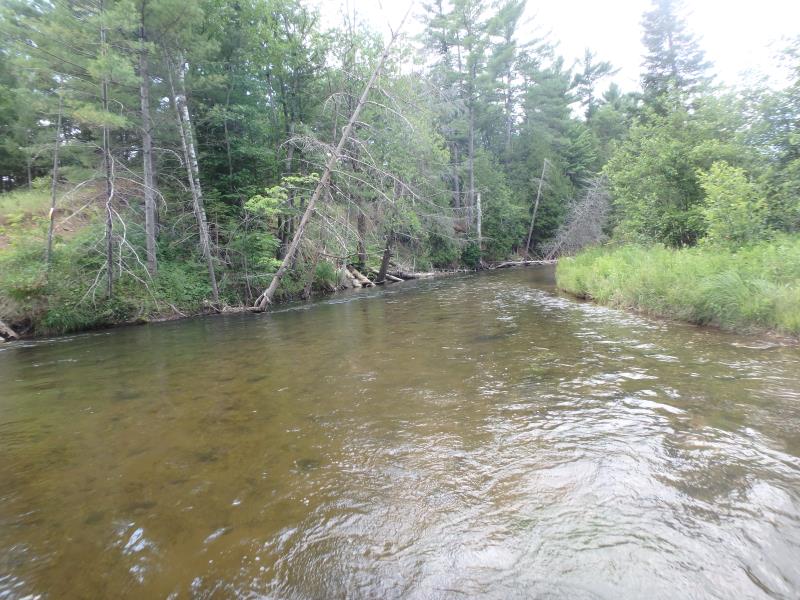
Downstream Conditions
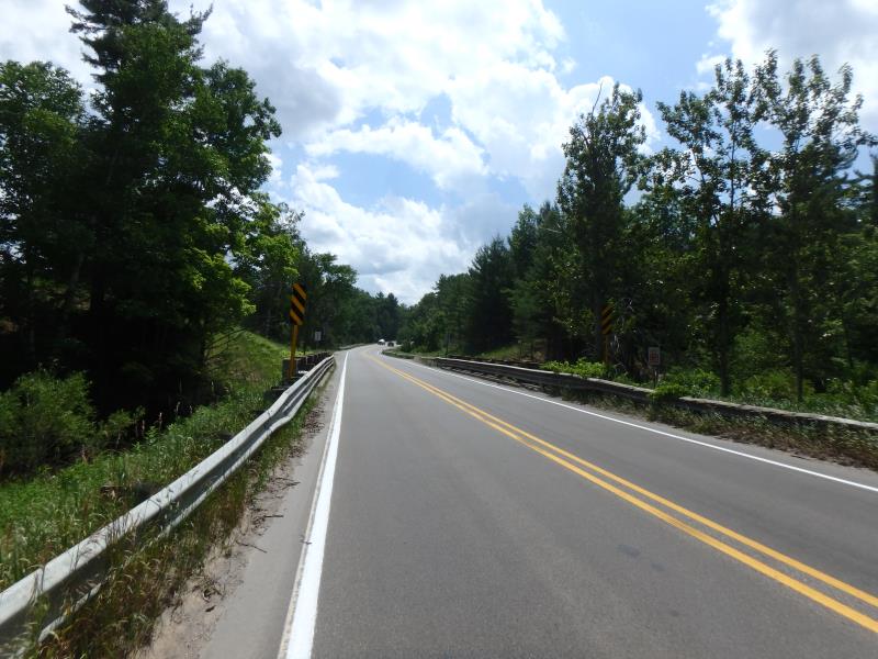
Road Approach - Left
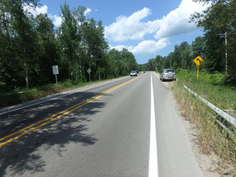
Road Approach - Right
Crossing Information
Type of Crossing: Bridge
Structure Shape: Open Bottom Square/Rectangle
Inlet Type: Wingwall 10-30 Degree
Outlet Type: At Stream Grade
Structure Material: Concrete
Structure Substrate: Mixture
General Conditions: Good
Structure Interior: smooth
Dimensions of Structure: Length 31 ft.
, Width 67 ft.
, Height 6.5 ft.
Structure Inlet
Water Depth: 2.1 ft.
Embedded Depth of Structure: 0 ft.
Water Velocity*: 2.5 ft./sec.
Structure Outlet
Water Depth: 2 ft.
Embedded Depth of Structure: 0 ft.
Water Velocity*: 2.6 ft./sec.
*Water Velocities were measured 1.2 ft. below Surface
(with Meter)
Additional Comments
Structure width greater than bank full and structure water velocity in line with riffle water velocity. �Severity score equals 13.5 so considered minor.
Stream Information
Stream Flow: Less than Bankfull
Riffle Information
Water Depth: 3 ft.
Bankfull Width: 38 ft.
Wetted Width: 34 ft.
Water Velocity: 2.5 ft./sec.
(Measured with Meter)
Dominant Substrate: Sand
Road Information
Paved
County Road
Road Condition: Good
Road Width at Culvert: 31 ft.
Location of Low Point: Other
Runoff Path: Ditch
Fill Depth: 0 ft.
Slope: Vertical
Fill Depth: 0 ft.
Slope: Vertical
Approaches
Left Approach
Length: 150 ft.
Slope: Less Than 1%
Vegetation: Heavy
LS Factor: 0.05
Erosion: 0.0077 tons/year
Right Approach
Length: 500 ft.
Slope: 1% to 5%
Vegetation: Heavy
LS Factor: 0.5
Erosion: 0.2562 tons/year
Erosion Information
Total Erosion at Crossing: 0.2639 tons/year
Summary Information
Fish Passability 1
�