Road Stream Crossing Site GTBAY_BRD013
Boardman River Watershed, Boardman River
E River Rd
East Bay Twp,
Grand Traverse County
Information collected by:
Site Location
GPS Coordinates: 44.644414
, -85.535792
T26N
R10W
Sec 16
Owned by Private
Fish Passability 1
Total Erosion: 0.2023 tons/year
Severity: Minor
Year Inventoried: 2020
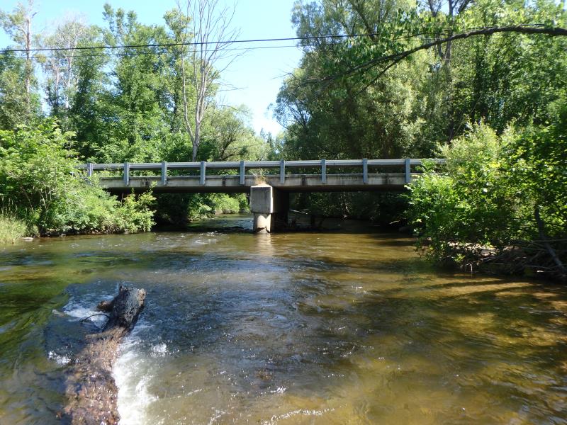
Inlet
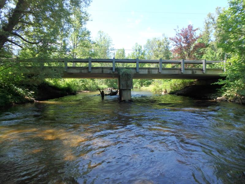
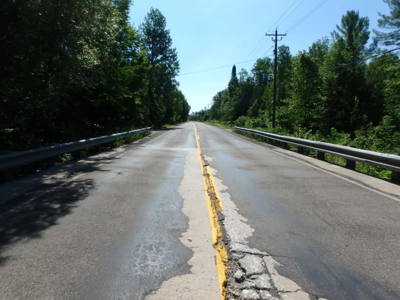
Outlet
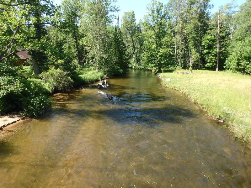
Upstream Conditions
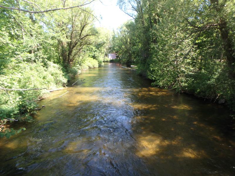
Downstream Conditions
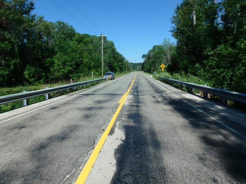
Road Approach - Left
Road Approach - Right
Crossing Information
Type of Crossing: Bridge
Structure Shape: Open Bottom Square/Rectangle
Inlet Type: Headwall
Outlet Type: At Stream Grade
Structure Material: Concrete
Structure Substrate: Mixture
General Conditions: Fair
Structure Interior: smooth
Dimensions of Structure: Length 31 ft.
, Width 74 ft.
, Height 9.7 ft.
Structure Inlet
Water Depth: 3.6 ft.
Embedded Depth of Structure: 0 ft.
Water Velocity*: 3 ft./sec.
Structure Outlet
Water Depth: 1.9 ft.
Embedded Depth of Structure: 0 ft.
Water Velocity*: 4.7 ft./sec.
*Water Velocities were measured 2.1 ft. below Surface
(with Meter)
Additional Comments
Water depth and velocity measurements recorded for span #1. Structure width greater than bank full and structure water velocity in line with riffle water
Stream Information
Stream Flow: Less than Bankfull
Riffle Information
Water Depth: 3.3 ft.
Bankfull Width: 33 ft.
Wetted Width: 30 ft.
Water Velocity: 3 ft./sec.
(Measured with Meter)
Dominant Substrate: Gravel
Road Information
Paved
County Road
Road Condition: Poor
Road Width at Culvert: 24 ft.
Location of Low Point: Other
Runoff Path: Ditch
Fill Depth: 0 ft.
Slope: Vertical
Fill Depth: 0 ft.
Slope: Vertical
Approaches
Left Approach
Length: 100 ft.
Slope: Less Than 1%
Vegetation: Partial
LS Factor: 0.05
Erosion: 0.004 tons/year
Right Approach
Length: 500 ft.
Slope: 1% to 5%
Vegetation: Heavy
LS Factor: 0.5
Erosion: 0.1983 tons/year
Erosion Information
Total Erosion at Crossing: 0.2023 tons/year
Summary Information
Fish Passability 1
�